Pasar al contenido principal

page search

Displaying 13 - 24 of 2815

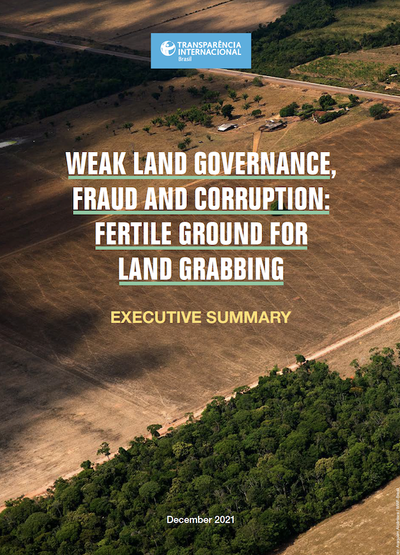
GOVERNANÇA FUNDIÁRIA FRÁGIL, FRAUDE E CORRUPÇÃO: UM TERRENO FÉRTIL PARA A GRILAGEM DE TERRAS

Reports & Research
Noviembre, 2021
Brasil

O termo “grilagem” remete à prática antiga de forjar um título de propriedade e colocá-lo em uma gaveta com grilos para amarelar o documento, conferindo a aparência de um documento legitimo. As táticas se modernizaram, persistindo diversas práticas, conhecidas como grilagem, que buscam fraudar títulos e invadir terras com o objetivo de apropriar- -se indevidamente de áreas tanto públicas quanto particulares, muitas vezes com o auxílio de agentes corruptos, sejam eles da esfera pública ou privada.

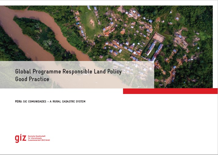
Good Practice

Institutional & promotional materials
Noviembre, 2021
Latin America and the Caribbean
South America
Peru

The Global Programme 'Responsible Land Policy' (GPRLP) is part of the Special Initiative 'One World, No Hunger' of the German Federal Ministry for Economic Cooperation and Development (BMZ), which aims to reduce extreme poverty and hunger.


In Peru, ProTierras Comunales (PTC), as part of the Global Programme, aims to improve the access to land and natural resources for native communities in the Peruvian Amazon, in the regions Ucayali and San Martín. A functional and regularly updated digital cadastre system was created to improve the land titling system.


Good Practice

Institutional & promotional materials
Octubre, 2021
Asia
South-Eastern Asia
Laos

The Global Programme 'Responsible Land Policy' (GPRLP) is part of the Special Initiative 'One World, No Hunger' of the German Federal Ministry for Economic Cooperation and Development (BMZ), which aims to reduce extreme poverty and hunger.

In Laos, the ‘Enhanced Land Tenure Security Project’ (ELTeS) supports five provinces in Northern Laos in securing land user and land ownership rights. The project has supported the expansion of the use of a comprehensive, electronic and user-friendly cadastre management system, the so-called ‘LaoLandReg’ (LLReg) in all provinces of Lao PDR.

LAND-at-scale Chad

Policy Papers & Briefs
Octubre, 2021
Chad

This one-pager provides details on the LAND-at-scale project in Chad. This project is implemented by Kadaster International and Oxfam Novib, and financed by the Ministry of Foreign Affairs via the Netherlands Enterprise & Development Agency. 

LAND-at-scale Mozambique

Policy Papers & Briefs
Junio, 2021
Mozambique

This one-pager provides details on the LAND-at-scale project in Mozambique. This project is implemented by Centro Terra Viva and Terra Firma, and financed by the Ministry of Foreign Affairs via the Netherlands Enterprise & Development Agency. 

Influence of the Cadastral Value of the Urban Land and Neighborhood Characteristics on the Mean House Mortgage Appraisal

Peer-reviewed publication
Marzo, 2021
Spain
United States of America
Venezuela

As house mortgage appraisal values have played a leading role in the 2007–2012 financial crisis, it is important to develop robust mass appraisal models that correctly estimate these values. The present paper intends to propose a methodology to examine the spatial distribution of house mortgage appraisal values. To do so, we analyzed the effect that these values, cadastral urban land values, characteristics of houses, and socioeconomic conditions and services in neighborhoods, have on house mortgage appraisal values in the 70 boroughs of Valencia (Spain).

The Role of Open Data in the Fight against Land Corruption

Reports & Research
Febrero, 2021
Global

Opening up land-related administrative data, combining it with data from other sources  and processing and making this data available as easily accessible information for women and men equally could be a means to counteracting land corruption in land management, land administration and land allocation. But does open data and enhanced data transparency indeed help to counteract land corruption?

National Spatial Data Infrastructure vs Cadastre System for Economic Development: Evidence from Pakistan

Peer-reviewed publication
Febrero, 2021
Pakistan

The growth of Pakistan’s agriculture-based economy depends on elevating agriculture production and raising the per-capita income of rural communities. This paper evaluates the value of two simultaneous initiatives for the economic development of Pakistan, i.e., (i) reforming and modernization of the cadastre system, and (ii) the implementation of national spatial data infrastructure (NSDI). Both can provide crucial frameworks to assemble geographic information necessary for effective agriculture policies in the country.

Hybrid Approaches for Smart Contracts in Land Administration: Lessons from Three Blockchain Proofs-of-Concept

Peer-reviewed publication
Febrero, 2021
Australia
Canada
British Indian Ocean Territory
Norway
Sweden

The emergence of “blockchain” technology as an alternative data management technique has spawned a myriad of conceptual and logical design work across multiple industries and sectors. It is also argued to enable operationalisation of the earlier “smart contract” concept. The domain of land administration has actively investigated these opportunities, albeit also largely at the conceptual level, and usually with a whole-of-sector or “big bang” industry transformation perspective.

Spatial aspect of fit-for-purpose land administration for emerging land administration systems: a conceptual framework for evaluation approach

Journal Articles & Books
Peer-reviewed publication
Enero, 2021
Africa
Americas
Asia
Europe
Oceania
Antarctica

Fit-for-purpose land administration (FFPLA) concept is widely applied in the emerging land administration systems (LASs). This paper aims to contribute to the development of evaluation of the spatial aspect of FFPLA. A review of evaluation models for LASs is made in relation with rationale of FFPLA to identify gaps related to evaluation of a FFPLA and to build up milestones and measurement criteria.