Pasar al contenido principal

page search

Displaying 25 - 36 of 2815

Advances in the Coordination between the Cadastre and Land Registry

Peer-reviewed publication
Enero, 2021
Canada
Spain
United States of America

A necessary and effective coordination between cadastre and land registry has always existed in Spain, but the difficulties have only been specifically addressed in the last few years. The aim of this study is to illustrate, analyse, and evaluate advances in this coordination in Spain from the beginnings of the current system in the early twentieth century, with the cadastre and land registry operating as separate organisations. A preliminary study was made in 2002 of the difficulties that needed to be overcome to achieve an ideal coordination of mainly mapped information.

An Approach to Resolve Inconsistencies of Data in the Cadastre

Peer-reviewed publication
Enero, 2021
Croatia

A cadastre, as one of the key registers of land administration, must be maintained to provide up-to-date land information. Before digitization, technical and alphanumerical datasets were maintained separately, leading to redundant data. This resulted in numerous inconsistencies between the cadastral map and the register, leading to the loss of integrity of these authoritative data. The fact that the cadastral map and the register are in the electronic form today does not guarantee their integrity and quality.

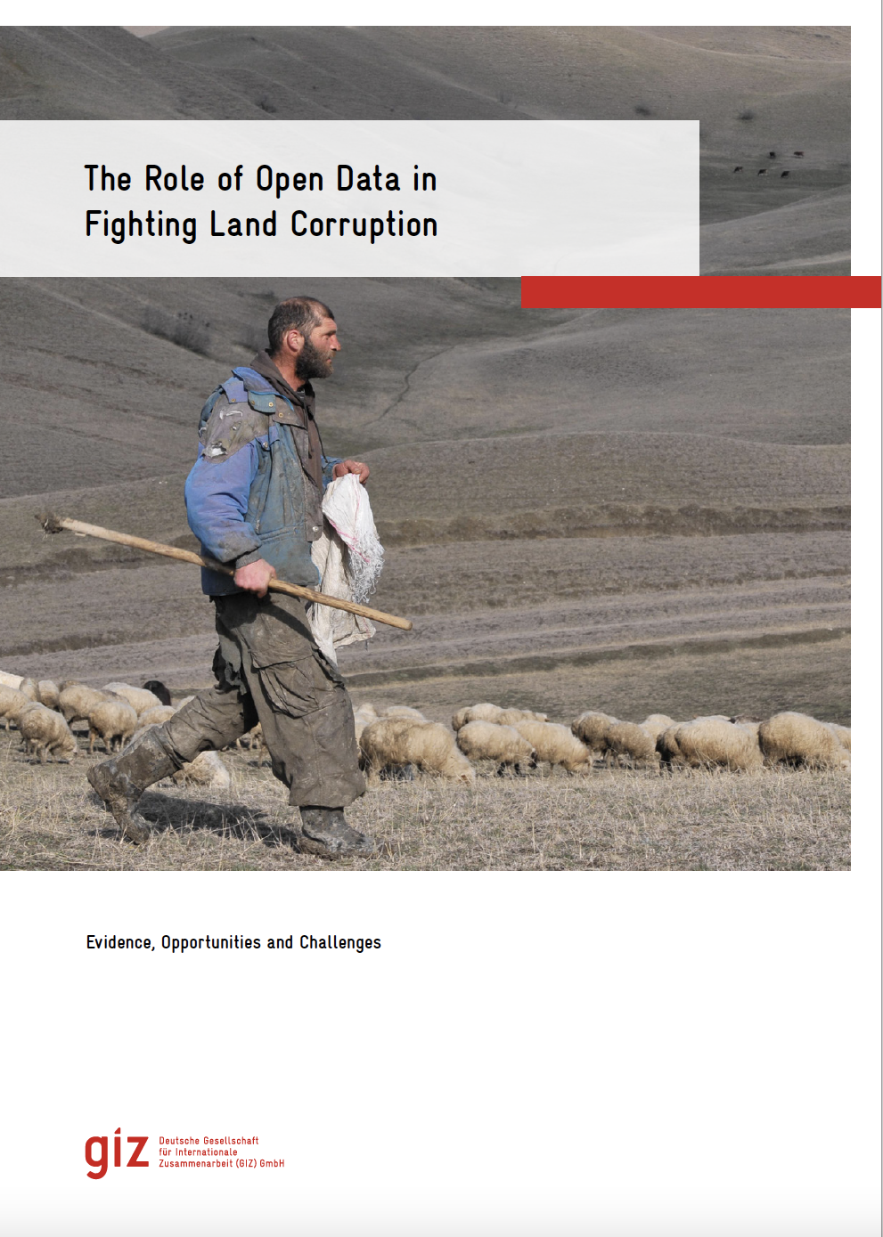
The role of open data in fighting land corruption

Reports & Research
Diciembre, 2020
Global

The rapid progress in digital information and communication technologies  (ICTs) comes with both fresh opportunities and new challenges for different sectors and actors adopting the new solutions that become available over time. Since the mid-2000s, the global land governance community has piloted a series of open data and transparency initiatives largely based on such digital innovations, aiming at increasing accountability and counteracting corruption in the land sector, both at the local and global level.

Integration of Geospatial data of UAVs in Cadastral Management System and Regularization of Illegal Occupations in Informal Settlements

Peer-reviewed publication
Diciembre, 2020
África

Abstract: To avoid illegal occupation of people in areas where construction is forbidden and the development of informal settlements, municipal authorities must anticipate city planning. The implementation of layouts and cadastral plans, plays a broad range of uses in: taxation, land development, land registration, urban planning and design of infrastructure necessary to improve the living conditions of the population. This paper aims to demonstrate that, the integration of images of Unmanned Aerial Vehicles (UAVs) is an alternative solution to the production of cadastral maps.

Преобразование земельных отношений в Республике Молдова (1989-2019 гг.).

Journal Articles & Books
Noviembre, 2020
Global

Преобразование земельных отношений в 1989-2019 гг. в Республике Молдова не было случайным явлением. Настоятельная необходимость в социально-
экономических реформах явилась объективной необходимостью, вызванной
самим ходом истории развития общественных и экономических отношений.
Особенно остро отставание ощущалось в области сельского хозяйства, где
большинство стран всё с большим трудом обеспечивало своё население про-
довольствием, а промышленность сырьём на уровне современных требований.

Particularitățile metodologice ale reglementării relaţiilor funciare agrare în Republica Moldova

Reports & Research
Noviembre, 2020
Global

Relațiile funciare, începând cu etapa inițială a dezvoltării statului, reprezintă un product al societății. În istoria statalității Republicii Moldova se vor găsi mai multe etape inițiale. Este important a sublinia că, indiferent de acest fapt, relațiile funciare au fost printre primele și cele mai importante în dezvoltarea societății. Prin aceasta, se constată și conținutul social al relațiilor funciare. Perioada vizată în prezentul studiu, include etapa stabilirii statalității Republicii Moldova, anii 1991-2018 – perioadă în care are loc formarea unor relații funciare evidente.

Cadastral data as a source for 3D indoor modelling

Peer-reviewed publication
Octubre, 2020
Global

Despite the rapid development of indoor spatial data acquisition technology, there are currently no solutions that enable large-scale indoor spatial data acquisition due to several limiting factors that characterize the indoor space. This fact, together with the rapidly growing need for indoor models, is the main motivation for our research. The focus is on the study of the appropriateness of existing cadastral data for 3D indoor modelling.

The Challenge of Spatial Information Accessibility for Agricultural Policies: Case of Pakistan

Journal Articles & Books
Peer-reviewed publication
National Policies
Agosto, 2020
Asia
Pakistan

Agriculture is directly linked to the socio-economic development of every region. Agriculture impacts us all, whether we are seeking food security, better health or striving to conserve natural resources. Goal 2 of Sustainable Development Goals (SDGs) underlines the significance of agriculture as a means to achieve food security. United Nations in its recently published report titled “World Economic Situation and Prospects 2020”(UN, 2020) has declared agriculture as one of the global priorities for achieving high-quality health care and formal employment opportunities.

Note de synthèse n°31 : La technologie blockchain et ses applications sur le foncier.

Conference Papers & Reports
Mayo, 2020
Global

Cette note de synthèse reprend les présentations et les échanges qui ont eu lieu le 10 juillet 2019, lors d’une journée de réflexion sur les opportunités et les risques liés à l’utilisation de la blockchain appliquée au foncier, et plus spécifiquement dans les contextes africains. Cette journée a été organisée à l’initiative du Comité Technique « Foncier et développement » de la coopération française.

Building Harmonized Private and State Land Holding Data and Information Systems in Ethiopia

Peer-reviewed publication
Abril, 2020
Etiopía

Different government institutions in Ethiopia working on land related issues tackle and manage data and information independently, while their activities and mandates are often related or even overlapping. Ministry of Agriculture (MoA) deals with small holder rural land and until recently the Ethiopian Horticulture and Agricultural Investment Authority (EHAIA) was dealing with commercial agricultural land. Those institutions have not been able to share information each other’s data to make informed decisions.

Evaluating Spatial Data Acquisition and Management Techniques for Multipurpose Cadastre in Ethiopia and Rwanda (Preliminary Results)

Peer-reviewed publication
Diciembre, 2019
Etiopía
Rwanda

Spatial data are a basis in development of multipurpose cadastre. This paper aims to evaluate spatial data acquisition and management techniques for multipurpose cadastre in Ethiopia and Rwanda. The research was conducted using a qualitative research method, a review of existing literature on spatial data acquisition and management techniques for cadastral purposes. The empirical data have also been collected.