Pasar al contenido principal

page search

Displaying 625 - 636 of 2815

Law on state survey and real estate cadaster.

Legislation
Mayo, 2007
Montenegro

This Law regulates the issues regarding the state survey, the real estate cadastre and the registration of rights real estate, the cadastre of the water supply pipelines, the basic state map and topographic maps, the boundary of the state border and other specific issues of importance for the state survey and cadaster as official state mapping/survey register.The Law is divided into XIX Chapters and 192 articles, including the offences and related penalties (see Chapter XVIII).

Amended by: Law amending the Law on state survey and real estate cadaster. (2011-06-22)

Rural Land Administration and Use System Implementation, Council of Regional Government Regulation No. 51/2007.

Regulations
Mayo, 2007
Etiopía

This Regulation concerns rural land management and rights and use of rural land in Amhara National Region. It seeks to create favourable conditions enabling the land administration system to promote long-lasting agricultural development and productivity in the regional state by causing the full implementation of the rights and obligations pertaining to the rural land holders as are stipulated under the Revised Rural Land Administration and Use Determination Proclamation.

Decreto Nº 33797-MJ-MOPT ─ Declara como proyección oficial para la representación cartográfica la Proyección Transversal de Mercator para Costa Rica (CRTM05).

Regulations
Marzo, 2007
Costa Rica

El presente Decreto declara como datum horizontal oficial para Costa Rica, el CR05, enlazado al Marco Internacional de Referencia Terrestre (ITRF2000) del Servicio Internacional de Rotación de la Tierra (IERS) para la época de medición 2005.83, asociado al elipsoide del Sistema Geodésico Mundial (WGS84).

Cadastral Clearance Act.

Legislation
Marzo, 2007
China

The Act is enacted to perfect cadastral management, ensure land rights, and promote land use.In order to investigate cadastral registration in which the contents of rights are incomplete or inconsistent with the existing laws and regulations, after clarifying the content of rights and ownership, the authority concerned shall register again. The municipal or county (city) authority concerned shall investigate within its jurisdiction the land cadastre.

Examining agricultural reform applications in Turkey from the view point of the need for spatial data and information: case study of Trabzon

Policy Papers & Briefs
Diciembre, 2006
Turkey

In Turkey, to adapt EU's Common Agricultural Policy (CAP), the Agricultural Reform Implementation Project (ARIP) has been carried out. However, due to inadequate spatial data infrastructure, the effectiveness of the projects within the ARIP has been considerably weak. In this study, some investigations were held within the Directorate of Ministry of Agriculture and Rural Affairs (MARA) in Trabzon Province. In the light of the investigations and legislative-technical works on the application of the CAP in EU as well, basic necessities were determined.

Legal Coordinated Cadastres

Conference Papers & Reports
Septiembre, 2006
Singapore

The field of cadastre holds an inherent complexity much based on its interdisciplinary characteristics and the national uniqueness of each cadastral system. In addition, some cadastral terminology is vague or ambiguous, which is why omission of the explicit sense and context of a particular term may bring obscurity to international comparisons and analyses. The concept legal coordinated cadastre (and kindred expressions), occasionally mentioned in connection with visions and plans of cadastral modernisation, is discussed here in order to clarify possible meanings and implications.

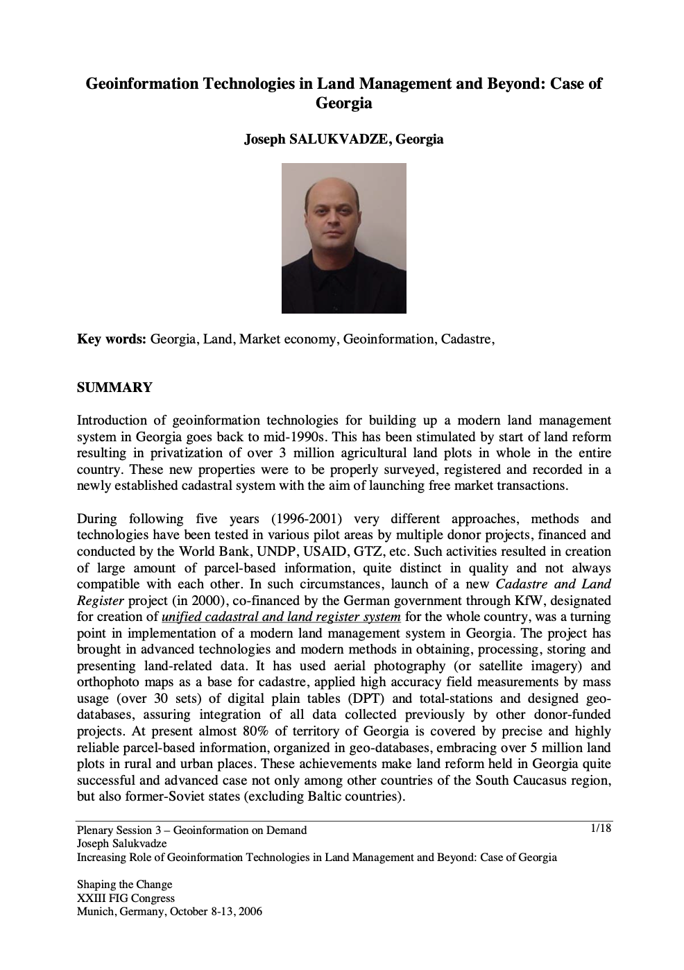
Geoinformation Technologies in Land Management and Beyond: Case of Georgia

Conference Papers & Reports
Septiembre, 2006
Georgia

Introduction of geoinformation technologies for building up a modern land management system in Georgia goes back to mid-1990s. This has been stimulated by start of land reform resulting in privatization of over 3 million agricultural land plots in whole in the entire country. These new properties were to be properly surveyed, registered and recorded in a newly established cadastral system with the aim of launching free market transactions.

Land Registration Act Chapter 5.01.

Legislation
Marzo, 2006
Santa Lucía

The provisions of this Act shall apply only to land, interests in land, or dealings in land, registered under this Act. This Act sets forth organization, administration, duties, authorities and responsibilities of the Land Registry and registrars. A Registrar of Lands shall be appointed by the Public Service Commission to manage the Land Registry in accordance with this Act. The Land Registry includes a register in respect of every parcel which has been adjudicated in accordance with the Land Adjudication Act and a register in respect of each lease required by this Act to be registered.

First Cadastre Project

Reports & Research
Diciembre, 2005

Sida have supported a technical assistance to 1997. The fi rst stage of this assistance has been successfully completed in 2001. According to Sida’s decision from 2001-11-05 the technical assistance was extended through the project Cadastre Project – Fiscal Cadastre and Training”. gives recommendations for a possible continuation of Sida’s support. Most of the planned project activities were completed at the time for our evaluation.

Stamp Duty Act, 2005 (No. 689).

Legislation
Mayo, 2005
Ghana

This Act requires the amounts specified in Schedule 1 to payable as stamp duties in respect of the matters stated respectively in relation to them. An instrument relating to the creation or transfer of an estate or interest in land, submitted to the Commissioner for assessment of the chargeable stamp duty, shall be accompanied with a statement in the form set out in the Schedule 2. (2) The statement shall be signed by the grantee, transferee or by a person authorised in writing to do so by the grantee or transferee.