AJAE Appendix: Land Market Imperfections and Agricultural Policy Impacts in the New EU Member States: A Partial Equilibrium Analysis
The material contained herein is supplementary to the article named in the title and published in the American Journal of Agricultural Economics, Volume 88, Number 4, November 2006.
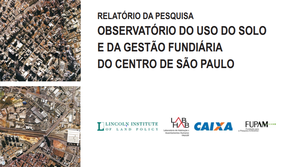
RELATÓRIO DA PESQUISA OBSERVATÓRIO DO USO DO SOLO E DA GESTÃO FUNDIÁRIA DO CENTRO DE SÃO PAULO
Esta publicação apresenta os resultados da pesquisa Observatório do Uso do Solo e da Gestão Fundiária do Centro de São Paulo, realizada pelo Laboratório de Habitação e Assentamentos Humanos LABHAB da Faculdade de Arquitetura e Urbanismo da Universidade de São Paulo, com o apoio do Lincoln Institute of Land Policy, entre os meses de setembro de 2005 e junho de 2006. O escopo desta pesquisa foi o levantamento e avaliação dos instrumentos urbanísticos e tributários instituídos ou implementados nos últimos 15 anos na área central de São Paulo.
Land-use/land-cover dynamics in Chiang Mai: Appraisal from remote sensing, GIS and modelling approaches
Remotely-sensed images and Geographical Information Systems (GIS) data were integrated into the SLEUTH cellular automata (CA) model to analyze land-use/land-cover dynamics in Chiang Mai city and its surrounds. The land-use and land-cover statistics, obtained from GIS data base and satellite images from 1952, 1977, 1989 and 2000 revealed rapid increased in urbanization during these periods. To understand the underlying causes of land-use and land-cover dynamics, remote sensing, GIS and modeling techniques were applied.
Land use changes in Pak Panang bay using arial photographs and geographic information system
Urban Land and Housing Markets in the Punjab, Pakistan
This note provides a short overview of urban land and housing market performance in Punjab Province of Pakistan. It describes the characteristics of well-functioning urban land and housing markets and argues that, at present, the Punjab's urban land and housing markets are not performing well. The paper identifies a range of structural and institutional shortcomings that impede urban land market performance, and then concludes by offering recommendations for making land and housing markets functions better.
The major characteristics of environmental policies and agro-ecological technologies to be studied in Test case 2
Assessment of land use changes in Aşağıdere watershed in Bartın-Ulus
In this study, land use changes between 1986-2001 in Bartın-Ulus-Asagıdere watershed area was determined. In order to determine the land use percentages in 1986, Forest Management plan has been taken into consideration. Land use data belonging to 2001 has been determined by making use of the observations in the study area and data obtained from Forest Management plan of the year 2001. Arcview 3.2 software programme were used to analyze, examine and evaluate the data.
Exotic Forest Insects and Residential Property Values
This paper presents a case study of the economic damages to homeowners in a northern New Jersey community due to an exotic forest insect--the hemlock woolly adelgid. Hedonic property value methods are used to estimate the effect of hemlock health on property values. A statistically significant relationship between hemlock health and residential property values is established. Moreover, there are some signs of spillover impacts from hemlock decline, as negative effects are realized on the parcels where the declining hemlock stands are located as well as on neighboring properties.
Land Abandonment in an Agricultural Frontier After a Plant Invasion: The Case of Bracken Fern in Southern Yucatan, Mexico
Plant invasions and their impact on land use pose difficult research questions, due to the complex relationships between the ecological nature of the invasion and the human responses to the invasion. This paper focuses on the linkages between an invasion of bracken fern and land use decisions in an agricultural frontier in southern Mexico. Agriculture in this region is practiced on an extensive basis, using traditional slash-and-burn techniques of temporary cultivation and continuous rotation through forest fallow.


