Pasar al contenido principal

page search

Displaying 337 - 348 of 586

ICARDA Annual Report 2009

Reports & Research
Julio, 2010
Global

The dry areas face severe challenges to sustainable development. The biggest challenges – food insecurity, water scarcity, land degradation, and climate change – are closely inter-related. The effects of climate change will be felt globally, but the dry areas will be particularly hard hit. Climate change will exacerbate water scarcity, rainfall variability, and the decline in the natural resource base, and thus could have a profound impact on food security.

Application of digital elevation model for mapping vegetation tiers

Policy Papers & Briefs
Marzo, 2010
República Checa

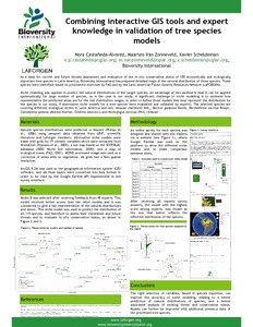
Linear models were used to investigate the relationship between vegetation tiers (altitudinal vegetation zones) and variables derived from a digital elevation model - elevation and potential global radiation. The model was based on a sample of 138 plots located from the 2nd to the 5th vegetation tier. Potential global radiation was computed in r.sun module in geographic information system GRASS. The final model explained 84% of data variability and employed variables were found to be sufficient for modelling vegetation tiers in the study area.

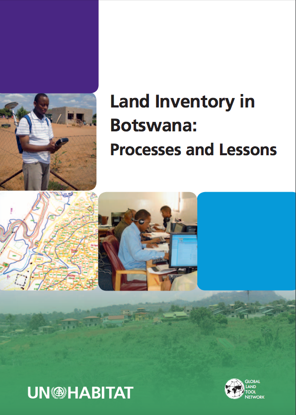
Land Inventory in Botswana: Processes and Lessons

Reports & Research
Diciembre, 2009

Tribal land management constitutes the largest of the three main tenure types that prevail in Botswana (tribal, State, and freehold). The land inventory is a means to support land administration, land development, land use planning, land transactions and natural resources management in Botswana. The land inventory is currently web based and GIS-enabled through the Tribal Land Information Management Systems and the State Land Information Management System. These systems now play a key role in land-related policy and management decisions.

Determining of erosion situation of the Coruh watershed by GIS and solution suggestions

Policy Papers & Briefs
Diciembre, 2009
Turquía

Distiribution of erosion and its grade exited by climatic and topographic conditions was carried out depending on slope in Coruh watershed. Data necessary for determining of violence and grade of erosion having importance for relation between soil and plant were obtained from Erzurum province land resources map (1/100.000 scale) prepared by the General Direction of the Rural Work in 2000. The ArcGIS 9.1 sotware was used for digitalizing the map. It was determined that soils of the study area higly exposed to erosion and this situation is continue.

Diversity of the calabash tree (Crescentia cujete L.) in Colombia

Journal Articles & Books
Diciembre, 2009
Colombia
América del Sur
América central

Germplasm of the calabash tree (Crescentia cujete L.) was collected in five major regions of Colombia, i.e. the Andes, Caribbean, Amazon, Orinoco, and Pacific regions. Collecting this multipurpose tree was guided by the indigenous knowledge of farmers and artisans in each region. Large variation in fruit shapes and sizes was found, of which some forms were typical for certain regions. Overall 56 accessions were collected and roughly classified into 22 types by eight fruit shapes and eight sizes.

Ensuring health and food safety from rapidly expanding wastewater irrigation in South Asia: BMZ final report 2005-2008

Reports & Research
Diciembre, 2009
India
Pakistán
Asia meridional

This project aims to identify the risks and benefits associated with the use of wastewater in urban and peri-urban fodder and vegetable cropping systems in India and Pakistan, where wastewater is largely untreated due to lack of public finance. Two mega-cities (Faisalabad, Pakistan and Hyderabad, India, with large untreated wastewater irrigation areas have been selected a) for comparative purposes and b) to develop and promote country-specific risk mitigation options.

Metodología para seleccionar zonas de intervención con cultivos biofortificados = Methodology for selecting areas for biofortified crop intervention

Journal Articles & Books
Diciembre, 2009
Bolivia
Colombia
Guatemala
México
América central
América del Sur
Caribe

OBJETIVO: Identificar zonas geográficas de América Latina y el Caribe para la biofortificación de cultivos básicos como frijol, maíz, arroz, yuca y batata, contribuyendo así a reducir las deficiencias nutricionales en la Región.