Pasar al contenido principal

page search

Displaying 361 - 372 of 513

Where Do Ecosystem Services Come From? Assessing and Mapping Stakeholder Perceptions on Water Ecosystem Services in the Muga River Basin (Catalonia, Spain)

Peer-reviewed publication
Septiembre, 2020
Estados Unidos de América
España

Reductions in water availability and increasing rainfall variability are generating a narrative of growing competition for water in the Mediterranean basin. In this article, we explore the distribution and importance of water resources in the Muga River Basin (Catalonia, Spain) based on key stakeholders’ perceptions. We performed a sociocultural evaluation of the main water ecosystem services in the region through stakeholder interviews and participatory mapping.

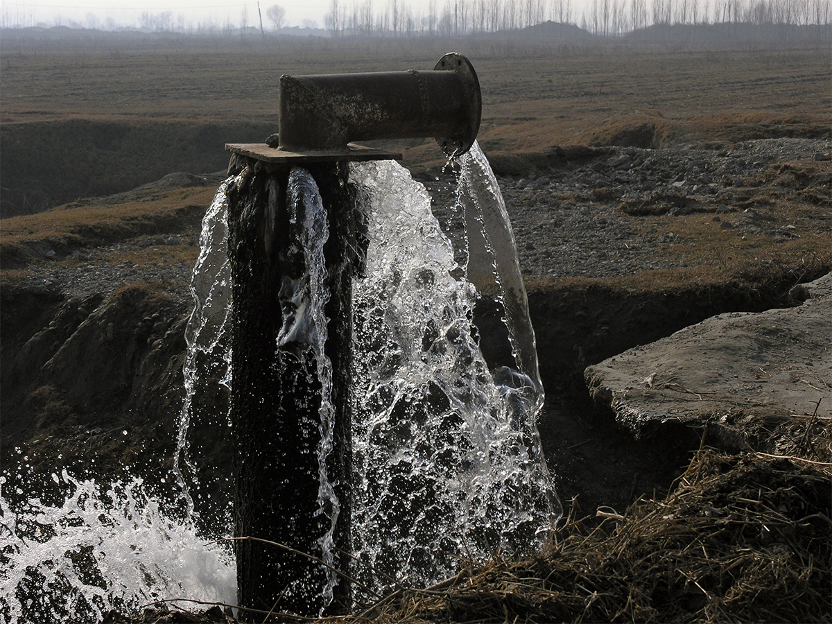
Proportional Variation of Potential Groundwater Recharge as a Result of Climate Change and Land-Use: A Study Case in Mexico

Peer-reviewed publication
Septiembre, 2020
México
Estados Unidos de América

This work proposes a methodology whereby the selection of hydrologic and land-use cover change (LUCC) models allows an assessment of the proportional variation in potential groundwater recharge (PGR) due to both land-use cover change (LUCC) and some climate change scenarios for 2050. The simulation of PGR was made through a distributed model, based on empirical methods and the forecasting of LUCC stemming from a supervised classification with remote sensing techniques, both inside a Geographic Information System.

Land-Use Change and Future Water Demand in California’s Central Coast

Peer-reviewed publication
Septiembre, 2020
Australia
Brazil
Trinidad and Tobago
United States of America

Understanding future land-use related water demand is important for planners and resource managers in identifying potential shortages and crafting mitigation strategies. This is especially the case for regions dependent on limited local groundwater supplies. For the groundwater dependent Central Coast of California, we developed two scenarios of future land use and water demand based on sampling from a historical land change record: a business-as-usual scenario (BAU; 1992–2016) and a recent-modern scenario (RM; 2002–2016).

Remotely Sensed Changes in Vegetation Cover Distribution and Groundwater along the Lower Gila River

Peer-reviewed publication
Septiembre, 2020
Spain

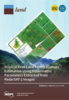
Introduced as a soil erosion deterrent, salt cedar has become a menace along riverbeds in the desert southwest. Salt cedar replaces native species, permanently altering the structure, composition, function, and natural processes of the landscape. Remote sensing technologies have the potential to monitor the level of invasion and its impacts on ecosystem services. In this research, we developed a species map by segmenting and classifying various species along a stretch of the Lower Gila River.

People-Centric Nature-Based Land Restoration through Agroforestry: A Typology

Peer-reviewed publication
Agosto, 2020
Global

Restoration depends on purpose and context. At the core it entails innovation to halt ongoing and reverse past degradation. It aims for increased functionality, not necessarily recovering past system states. Location-specific interventions in social-ecological systems reducing proximate pressures, need to synergize with transforming generic drivers of unsustainable land use. After reviewing pantropical international research on forests, trees, and agroforestry, we developed an options-by-context typology. Four intensities of land restoration interact: R.I.

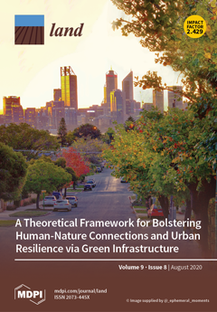
Mapping Landscape Potential for Supporting Green Infrastructure: The Case of a Watershed in Turkey

Peer-reviewed publication
Agosto, 2020
Turkey
United States of America

Green infrastructure (GI) is a strategic planning approach that can contribute to solutions for ecological, social, and environmental problems. GI also aims to conserve natural and semi-natural landscapes and enhance ecological networks. Within the scope of spatial planning, urban and rural landscape units can be integrated through GI planning. In this study, we propose a method to calculate the landscape potential and map GI in the lower Büyük Menderes River Basin, Turkey.

Infiltration-Friendly Agroforestry Land Uses on Volcanic Slopes in the Rejoso Watershed, East Java, Indonesia

Peer-reviewed publication
Agosto, 2020
Australia
Belgium
Canada
Indonesia
United States of America

Forest conversion to agriculture can induce the loss of hydrologic functions linked to infiltration. Infiltration-friendly agroforestry land uses minimize this loss. Our assessment of forest-derived land uses in the Rejoso Watershed on the slopes of the Bromo volcano in East Java (Indonesia) focused on two zones, upstream (above 800 m a.s.l.; Andisols) and midstream (400–800 m a.s.l.; Inceptisols) of the Rejoso River, feeding aquifers that support lowland rice areas and drinking water supply to nearby cities.

Final evaluation of the project “Adaptive management and monitoring of the Maghreb’s oases systems”

Reports & Research
Junio, 2020
Morocco
Tunisia
Mauritania

The Maghreb's oases systems provide a major contribution to the region's food security, economy and natural resources. Despite this potential, oasis ecosystems are threatened by a range of complex factors related to the expansion of agricultural land and increasing scarcity of water resources. The project, implemented by FAO in Tunisia, Morocco and Mauritania from May 2016 to December 2019, brought together key stakeholders to address the lack of available information on the status of oases and to advocate on factual bases shared by all stakeholders and verifiable in the field.

Conflictos socioambientales del agua y COVID-19

Reports & Research
Mayo, 2020
América central
América del Sur

En el informe N°7 de Rimisp - Centro Latinoamericano para el Desarrollo Rural,  sobre los efectos del coronavirus en América Latina, las investigadoras Daniela García y Lola Hiernaux profundizan en la gestión y disponibilidad del agua, elemento de vital importancia para evitar la propagación del virus responsable del COVID-19 y restablecer la salud pública. 


Bottom-Up Perspectives on the Re-Greening of the Sahel: An Evaluation of the Spatial Relationship between Soil and Water Conservation (SWC) and Tree-Cover in Burkina Faso

Peer-reviewed publication
Mayo, 2020
Algeria
Sudan
Eritrea
Ethiopia
South Sudan
Cameroon
Central African Republic
Chad
Burkina Faso
Mali
Mauritania
Niger
Nigeria
Senegal

The Re-Greening of the West African Sahel has attracted great interdisciplinary interest since it was originally detected in the mid-2000s. Studies have investigated vegetation patterns at regional scales using a time series of coarse resolution remote sensing analyses. Fewer have attempted to explain the processes behind these patterns at local scales. This research investigates bottom-up processes driving Sahelian greening in the northern Central Plateau of Burkina Faso—a region recognized as a greening hot spot.

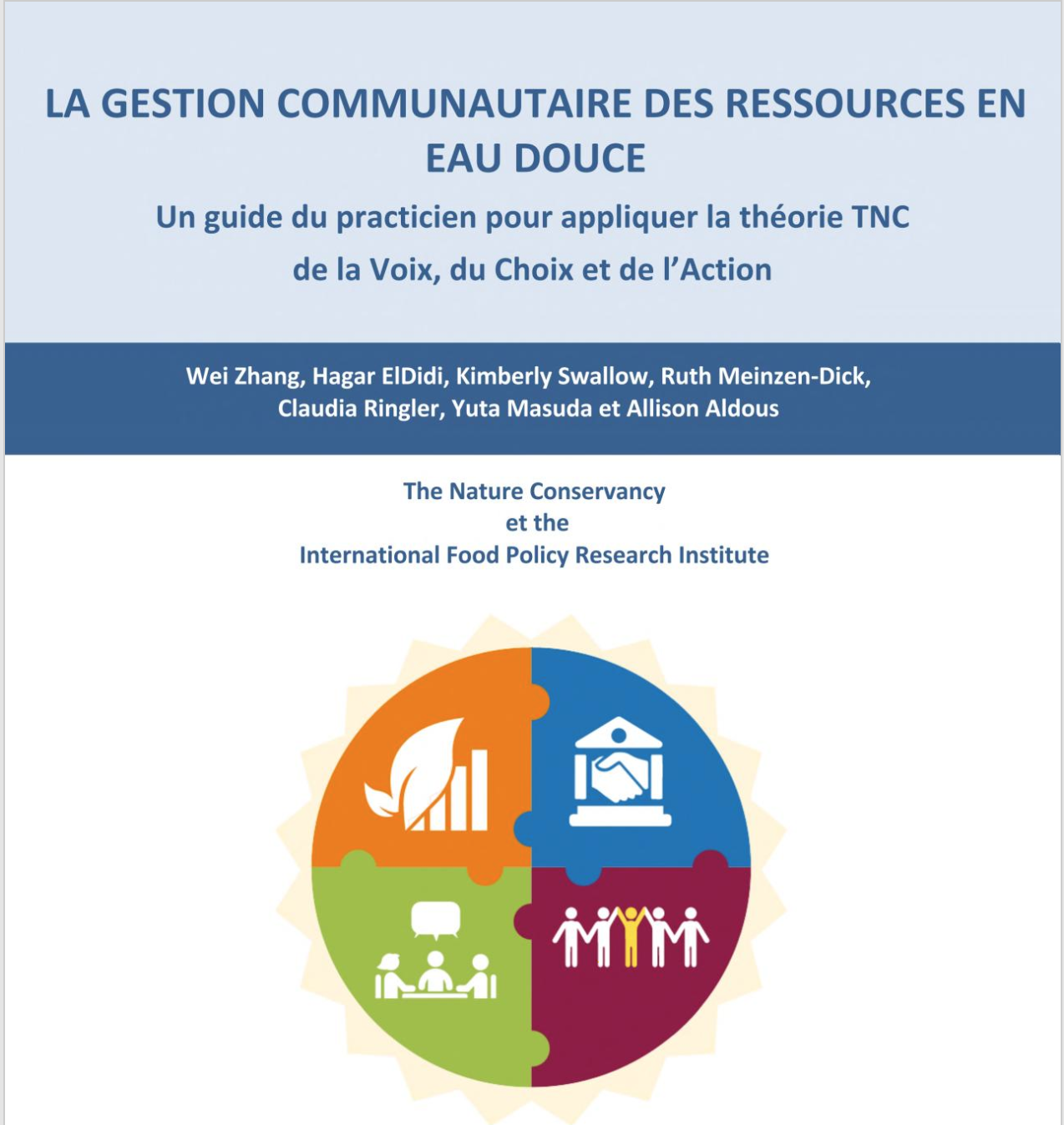
La gestion communautaire des ressources en eau douce: Un guide du practicien pour appliquer la théorie TNC de la Voix, du Choix et de l’Action

Manuals & Guidelines
Febrero, 2020
Global

Bien qu’étant une des ressources les plus essentielles pour toute vie sur Terre, l’eau douce ne représente que 3% des ressources d’eau de la planète, et seulement 0,5% de cette eau douce est facilement accessible aux humains. De plus, les ressources d’eau douce (RED) disponibles sont inégalement distribuées à travers le globe, de nombreuses régions et populations faisant face à des problèmes de pénurie et de qualité d’eau.