Reviving Documentation of Property Rights
Cadasta Foundation is dedicated to the support, continued development and growth of the Cadasta Platform – an innovative, open source suite of tools for the collection and management of ownership, occupancy, and spatial data that meets the unique challenges of this process in much of the world.
We provide the tools and resources for testing new approaches to capturing land and resource rights data and promoting the adoption of ‘fit-for-purpose’ technology and processes. Incorporated as a non-profit, federally-recognized 501(c)(3) organization, Cadasta Foundation aims to simplify, modernize, and expedite the documentation of land and resource rights in places where it does not exist today.
Our Approach
- A secure, cost effective global platform for the direct capture and documentation of land and resource rights.
- A collaborative ecosystem of partners using the Cadasta Platform to protect land and resource rights.
- A research and resource portal for the open sharing of knowledge, best practices and the use of our tools.
Resources
Displaying 1 - 5 of 14Open Land Data in the Fight Against Corruption - Discussion Report
From 9th to 29th September 2019, Land Portal, Cadasta and GIZ co-hosted an online discussion focussing on the role of open land data in the fight against corruption. Drawing on over 100 contributions from 48 contributors covering six continents, the dialogue explored the opportunities and challenges for the use of open data as a tool to address land-related corruption.
Land Rights for Slum Dwellers in Odisha: Making technology work for the urban poor
The webinar Land Rights for Slum Dwellers in the East Indian State Odisha: Making technology work for the urban poor took place on 14 February, 2018.
The webinar discussed anecdotes of the land rights policy in the state, application of innovative technology, processes and partnerships in the project execution and best practices followed in gaining rights for slum dwellers.
This report provides a brief summary of the webinar dialogue and the main points that emerged.
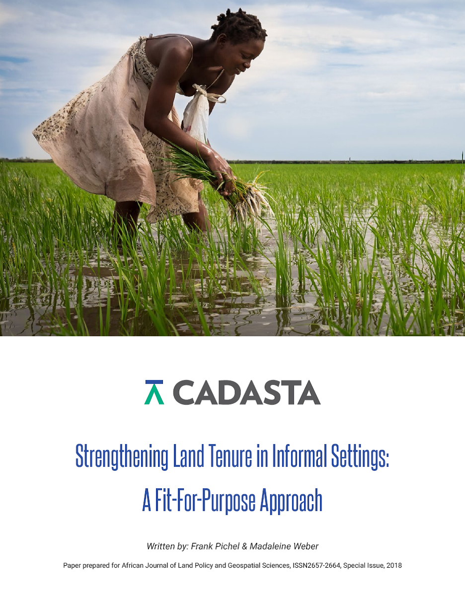
Strengthening Land Tenure in Informal Settings: A Fit-For-Purpose Approach
A functioning land administration sector is the foundation for economic growth. Unfortunately, effective land registry and cadastral systems with national coverage exist in only a fraction of the world’s countries. Cadasta Foundation is working to overcome this challenge by developing simple digital tools and technology to help partners efficiently document, analyze, store, and share critical land and resource rights information.
Report: Debate on Open Data and Land Governance
Across most contexts, government data sources on land are largely inaccessible, from land administration data, such as parcel data and ownership information to land investments, contract data and even policy information. In considering data on property ownership specifically, the latest version of the Open Data Barometer shows only two countries, New Zealand and the United Kingdom, obtained a full 100% score on the topic of Land Ownership. When this land administration data is made available, it is commonly made public via a web portal rather than as open data.


