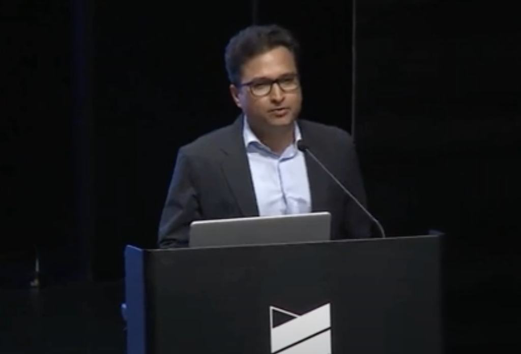
Sanjay Gajiwal, Deputy Election Commissioner and a seasoned Indian Administrative Service officer, delivered a thought-provoking keynote at the 8th India Land and Development Conference (ILDC). With a career spanning diverse roles in urban governance, disaster management, and land reforms, Gajiwal brought his unique blend of administrative experience and academic rigor to the stage, shedding light on the challenges and possibilities of modernizing land governance in India.
At the heart of Gajiwal’s address was a critical examination of property records and maps, tools he described as “the foundation of land governance.” Yet, despite significant progress in digitizing textual records, he argued that progress on spatial records is not able to improve user experience. Current mapping practices are still toe the line of cadastral mapping, which is an outdated mapping technologies that fail to meet the demands of contemporary urban and rural land management. Noting that early survey practices relied on crude measurement tools with tolerances for significant errors— such errors still persist in today’s digitized versions, but hardly acknowledged.
Fresh mapping surveys have failed to resolve the problem. The central problem, Gajiwal explained, lies in measurement mismatch between old cadastral records and newer readings. Such mismatches are not acknowledged although expected between two different mapping technologies. Failure to acknowledge such expected differences led many countries to chase the methods to reconcile these differences, e.g. South Korea and Taiwan, where modern mapping efforts clash with historical records. In the case of South Korea,new records were declared to have no legal validity. Drawing on global examples, Gajiwal called for pragmatic solutions that focus on functional utility rather than striving for unattainable accuracy. Citing the example of the United States," he noted, "they’ve embraced GIS maps as digital boundaries for planning and spatial analysis, separating them from legal boundaries determined on a case-by-case basis. This simple step revolutionized urban governance by unlocking the potential of spatial analysis. We should learn from this." He also lauded UK’s model of the General boundary system as an efficient fit for purpose solution.
One of the more striking aspects of Gajiwal’s speech was his critique of the current obsession with “centimeter-accurate” geo-coordinates. He argued that such precision often adds little value to governance while inflating costs and complicating processes. "Rather than chasing an imaginary accuracy," he suggested, "we should focus on creating maps that are intuitive and functional, enabling users to identify properties by addresses or other practical markers." He cited that, in any case, the Indian plate is moving about 4-5 cm per year and keeping reference frame constant is found to be very difficult even for smaller countries like New Zealand.
Gajiwal also emphasized the untapped potential of GIS (Geographic Information Systems) in urban planning and governance. He lamented that much of current GIS work focuses on collecting point data—such as locating schools or toilets—such data is already available through platforms like Google Maps. This approach, he argued, fails to harness the power of spatial analysis for addressing complex issues like property tax collection, disaster planning, and environmental monitoring. For which, India needs polygon data, instead of point data. "Spatial analysis is missing from both academia and administration," he observed, highlighting the need for open, shareable datasets that could spur innovation. Citing examples from Cambridge in the United States, where GIS data on property taxes and land use is freely downloadable, he envisioned a future where Indian cities adopt similar practices, especially after recent Government policy of liberalizing the use of spatial data for the public.
One of the most compelling moments of Gajiwal’s address was his call for a mindset shift in data governance. He urged data holding agencies to prioritize data liberalization, arguing that open access to spatial and textual datasets could transform land administration, academic research and service delivery. "Academia and civil society can take the lead by sharing data through platforms like GitHub. Slowly, this will build momentum for change."
Gajiwal concluded his keynote by imagining a future where spatial data informs every aspect of governance, from optimizing transport planning to identifying public health risks. He emphasized that such advancements require collaboration across sectors and a willingness to embrace practical solutions over technological perfection. "We don’t need maps that are perfect," he said. "We need maps that work—for planners, for policymakers, and most importantly, for the people." For maps, he suggested chasing improvement in user-experience and functionality instead of accuracy.
Sanjay Gajiwal’s address was a clarion call for modernization in land governance, rooted in pragmatism and a deep understanding of both local and global challenges. His vision of open, intuitive, and actionable data systems offers a path forward for resolving the longstanding issues plaguing property records in India. As he aptly put it, "The maps we create today will shape the governance of tomorrow. Let’s make sure they lead us to a better future."

