Recapitulação de webinário: Governança Inclusiva da Terra e Administração Fundiária Adequada ao seu Propósito: De quem é o propósito?
01 Outubro 2024
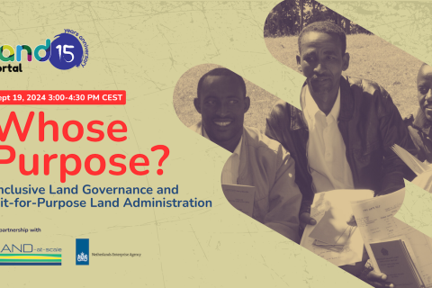
O webinário Governança Inclusiva da Terra e Administração Fundiária Adequada ao seu Propósito: De quem é o propósito?, realizado em 19 de setembro de 2024, explorou como uma abordagem holística e centrada nas pessoas pode transformar a Administração Fundiária Adequada ao seu Propósito (FFPLA - sigla em inglês) e garantir que a administração fundiária realmente sirva ao seu objetivo:
O webinar, que foi moderado por Imke Greven, consultor do programa LAND-at-Scale da Netherlands Enterprise Agency (RVO), reuniu mais de 275 pessoas.