administration cadastrale related Blog post | Land Portal
Il y a 363 éléments de contenu liés à administration cadastrale sur le Land Portal.

administration cadastrale

Administration cadastrale, est la mise en œuvre des procédures cadastrales ainsi que la mise à jour des documents qui en résultent.

Affichez 1 - 12 de 13
Tracking the State of Land Information
5 juillet 2023
Authors: 
Mr. Charl-Thom Bayer
Afrique
Global

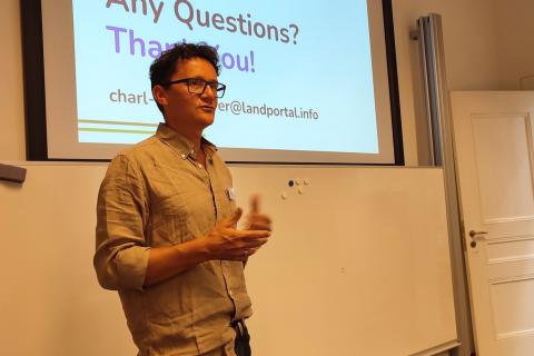
https://landportal.org/event/2023/02/landac-conference-2023À la Fondation Land Portal, nous plaidons pour des données foncières ouvertes et reconnaissons l'importance des données foncières pour stimuler le progrès en faveur du développement durable. Notre objectif est d'impliquer les parties prenantes et de développer des mesures de soutien pour promouvoir l'accessibilité accrue des informations foncières et soutenir le renforcement des capacités à cet égard. Le défi actuel auquel nous sommes confrontés est l'inaccessibilité de données foncières mal gérées, souvent limitées à des sources localisées et éclipsées par des informations provenant de grandes organisations. Nous insistons sur la nécessité de rendre l'information plus disponible et accessible au niveau national.

State of Land Information in Africa
4 juillet 2023
Afrique
Libéria
Sénégal

L'état des données foncières : Transformer l'Afrique en une puissance du future" a eu lieu le 22 juin et a accueilli cinq orateurs. L'événement a été organisé par une équipe d'organisations comprenant la Land Portal Foundation, NELGA, GIZ et la Coopération allemande.

 An abstract painting about Enhancing Access to Land Data
31 mai 2023
Authors: 
Mr. Charl-Thom Bayer
Global

En tant que défenseur des données foncières ouvertes, la Fondation Land Portal vise à améliorer l'accès aux données foncières, à engager les parties prenantes et à soutenir les actions qui favorisent l'ouverture des données. J'ai récemment eu l'occasion de présenter l'indice SOLIndex (State of Land Information index) et de parler du guide Open Up lors de la réunion des partenaires du Global Land Tool Network (GLTN) à Nairobi, et de montrer comment ces outils jouent un rôle essentiel dans l'amélioration de l'accès à l'information foncière.

14 décembre 2021
Authors: 
Mr. Charl-Thom Bayer
Keitha Booth
Global

The Land Portal works to embed land governance in open data discussions and vice versa. This primer is extracted from the recently published Open Up Guide for Land Governance.


First, What is Open Data?


Participants of the 2020 India Land and Development Conference
10 mars 2020
Authors: 
Mr. Pranab Choudhury
Inde

About 350 land actors from government, academia, civil society and business came together from more than 15 states and outside India to discuss and debate various land issues. In more than 30 sessions, about 150 speakers and panelists deliberated over 3 days around interdisciplinary land-conversations to generate important information and evidence for policy, practice and academics.

Ten important land messages that emerge from these land conversations are:

Announcing PlaceFund
15 janvier 2020
Authors: 
Mike Kubzansky
Global

Aujourd'hui, nous sommes heureux de marquer le lancement officiel de PlaceFund, une organisation américaine indépendante à but non lucratif qui se consacre aux problèmes de l'insécurité des droits de propriété, de l'utilisation non durable des terres et du changement climatique. Construit sur une décennie comme l'initiative des droits de propriété au sein du Réseau Omidyar, PlaceFund fonctionnera sous la direction de Peter Rabley et Amy Regas, qui quitteront le Réseau Omidyar pour diriger cette organisation.

Ousmane-Coulibaly.jpg
20 décembre 2019
Afrique occidentale
Côte d'Ivoire

Date: 18 décembre 2019

Source: News Abidjan

Ousmane Coulibaly, Directeur Général du Guichet Unique du Foncier de Côte d’Ivoire, explique le renforcement de la valeur juridique des actes délivrés, en l’occurrence l’Arrêté de Concession Définitive (ACD).

Monsieur le Directeur Général, on parle de lenteur dans la délivrance de l’Arrêté de Concession Définitive (ACD). Qu’en est-il ?

27 novembre 2019
Afrique

Cosmas Milton Ochieng, an expert in natural resource governance and economic development in Africa, is the Director of the African Natural Resource Centre at the African Development Bank.

In collaboration with the African Union Commission and the United Nations Economic Commission for Africa, the African Development Bank will host the 3rd Edition of the Conference on Land Policy in Africa in Abidjan from 25 to 29 November 2019.

In this interview, Ochieng shares key insights into why the conference matters for Africa.


blockchain, land, survey
16 juillet 2019
Authors: 
Mr. John Dean Markunas
Global

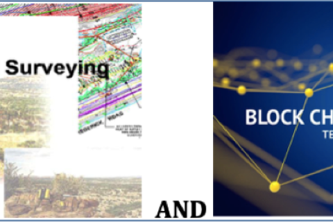
UNLIKELY PARTNERS: BLOCKCHAIN & LAND SURVEYING INDUSTRY

OUTLINE

I. Introduction to Blockchain Technology

II. Overview of the Surveying Industry

III. Surveying and Blockchain

IV. Types of Blockchains  

V. The Case for Blockchain in the Real Estate Industry

VI. Blockchain, Surveying, Land Registry and Cadastre 

VII. Blockchain Registry Integration Levels

VIII. The Future of Blockchain for Real Estate

IX. Conclusion

APPENDIX 

Glossary — Blockchain Terminology

Blogues

Événements

Organisations

For the purposes of performing the works for establishment and maintenance of the real estate cadastre, the management of the geodetic-cadastre information system, as well as for establishment, maintenance and public access to the National Spatial Data Infrastructure is established the Agency for Real Estate Cadastre. The Agency for Real Estate Cadastre acts in the capacity of a legal person with its rights, liabilities and responsibilities as stipulated by the Law on Real Estate Cadastre and for its operation reports to the Government of R. Macedonia.

MOTTO

The Dedan Kimathi University of Technology motto is: “Better Life through Technology”.


VISION STATEMENT

To be a Premier Technological University Excelling in Quality Education, Research, and Technology Transfer for National Development.


MISSION STATEMENT

Geo-Informatie Nederland logo

GIN is an interactive meeting place and is an open knowledge network for everyone who is professionally involved with geographic information. GIN organizes activities and encourages and facilitates sharing and transferring knowledge of its members in development of all members and to strengthen the position of the field of geo-information in society.


The subsequent strategic goals are:


Innovations for Successful Societies

ISS chronicles government innovation, especially in low- and middle-income countries. Often the most creative and successful ideas are generated internally, framed by people who have deep knowledge of local conditions. ISS enables practitioners to tell their unique stories and join a knowledge network of reform-minded public servants from around the globe. ISS case studies distill these conversations into a tool for learning, for cross-cutting analysis, and for scholarship.

Mission


To facilitate efficient land administration and management, acess to adequate and affordable housing, social and physical infrastructure for national development


Vision


To be a globally competitive organization in sustainable management of Land and built environment

OUR VISION


Excellent administration and management of land for sustainable development


OUR MISSION


To implement an efficient land administration and management system in order to ensure equity in access to land


CORE VALUES


  • Efficiency
  • Transparency and Accountability
Norwegian Mapping Authority logo

The Norwegian Mapping Authority (NMA) is Norway's national mapping agency, dealing with land surveying, geodesy, hydrographic surveying, cadastre and cartography. Its headquarters are in Hønefoss and it is a public agency under the Ministry of Local Government and Modernisation. NMA was founded in 1773.


Source: Wikipedia (consulted d.d. February 18th, 2020)

Palestine Land Authority logo

The PLA established by presidential Decree No.10 of 2002 as a legal entity with its own budget , subordinate to the Council of Ministers , with the responsibility for both the Survey and Registration Departments.


Mandate:


  • Surveying department responsible for examining maps and plans prepared in connection with land adjudication process, partition, subdivision, first registration and other transaction;

Dernières nouvelles

SOLIndex Dashboard: Consultancy
2 février 2024
Global

La Fondation Land Portal recrute un consultant ou une entreprise qui sera responsable de la recherche, du conseil et de l'aménagement d'un tableau de bord de données foncières viable permettant aux utilisateurs de visualiser et d'analyser les données disponibles.

Partagez cette page