There are 1, 162 content items of different types and languages related to sistema de informação geográfica on the Land Portal.
sistema de informação geográfica
AGROVOC URI:
Biophysical and socioeconomic geodatabase for land productivity dynamic assessment in Ethiopia

Reports & Research
Março, 2016
Etiópia
África
África Oriental
BMP implementations in Himalayan context: can a locally-calibrated SWAT assessment direct efforts?

Journal Articles & Books
Dezembro, 2014
Paquistão
Ásia
Soil erosion due to accelerating runoff in various land cover types pose a serious threat to the long term sustainability of the fragile Himalayan landscape characterized by subsistence farming. Delimitation of high runoff zones, fostering soil erosion in the agricultural dominated watersheds is thus a necessity for watershed managers, NGO’s, urban planners, policy makers, and municipal administrations. The approach is practical, SWAT is a straightforward modeling system using GIS information. The BMP is also a very practical approach to mitigation of runoff accumulation on sub basin.
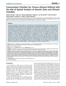
Changes in land cover/land use as a possible indicator of sustainable development in a hillside environment of rio Cabuyal in Cauca, Colombia
Reports & Research
Dezembro, 1991
Colômbia
América Central
América do Sul
Computer tools for spatial analysis of plant genetic resources data: 2. FloraMap
Journal Articles & Books
Dezembro, 2002
Conjunctive use of water resources for integrated water resources management (IWRM): Integrating spatial analysis and innovative geomatics techniques
Journal Articles & Books
Dezembro, 2002
Paquistão
Ásia Meridional
Conjunctive water management for sustainable irrigated agriculture in Rechna Doab: An overview and progress of research work
Journal Articles & Books
Dezembro, 2002
Paquistão
Austrália
Conservation and sustainable management of below-ground biodiversity in Indonesia
Journal Articles & Books
Dezembro, 2005
Indonésia
Sudeste Asiático