Passar para o conteúdo principal

page search

IssuesurbanizaçãoLandLibrary Resource
Displaying 661 - 672 of 705

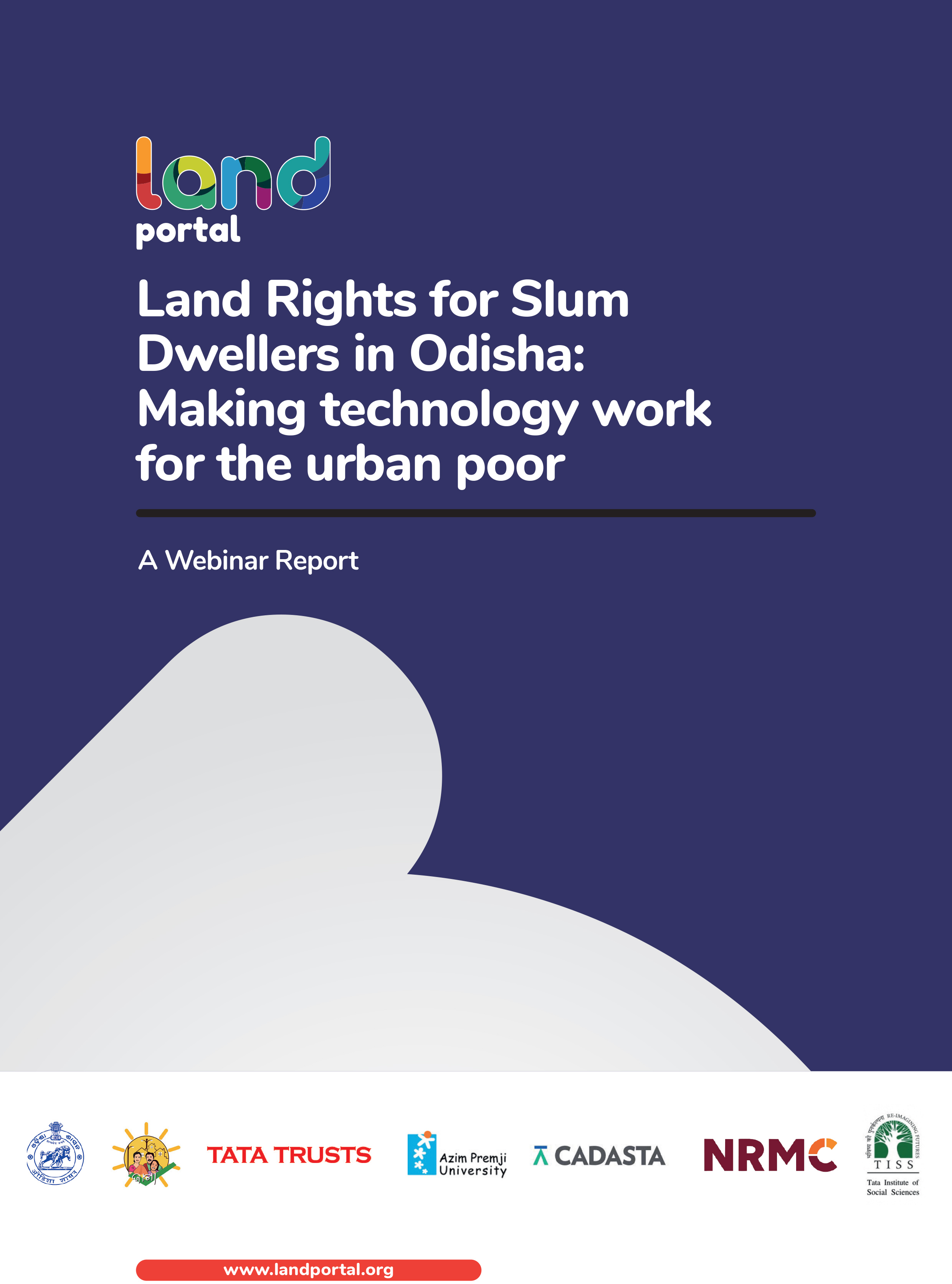
Land Rights for Slum Dwellers in Odisha: Making technology work for the urban poor

Reports & Research
Fevereiro, 2019
Índia

The webinar Land Rights for Slum Dwellers in the East Indian State Odisha: Making technology work for the urban poor took place on 14 February, 2018. 

The webinar discussed anecdotes of the land rights policy in the state, application of innovative technology, processes and partnerships in the project execution and best practices followed in gaining rights for slum dwellers. 

This report provides a brief summary of the webinar dialogue and the main points that emerged.

Que tan rural es el desarrollo: el desarrollo rural desde una óptica institucional

Journal Articles & Books
Maio, 2009
Colômbia

En el documento se pretende hacer una contextualización de lo que ha sido el desarrollo rural en Colombia, tomando como referencia las estrategias que desde el contexto internacional se han diseñado para menguar la problemática social del medio rural, algunos enfoques nacionales que se ha implementado en este mismo sentido y algunas interpretaciones de las institutciones que trabajan en este ámbito, de manera que permita concluir de forma clara que tan rural es el desarrollo, y si las intervenciones en el ámbito agrario nacional son o no coherentes con las necesidades puntuales de la poblac

Espaços de Resistência:

Journal Articles & Books
Outubro, 2018
América Latina e Caribe
América do Sul
Brasil
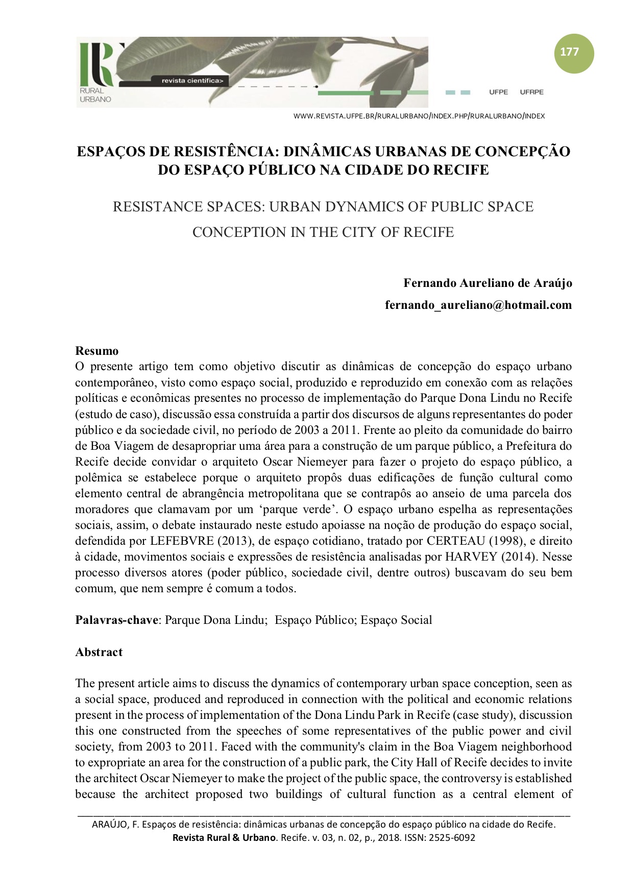
O presente artigo tem como objetivo discutir as dinâmicas de concepção do espaço urbano contemporâneo, visto como espaço social, produzido e reproduzido em conexão com as relações políticas e econômicas presentes no processo de implementação do Parque Dona Lindu no Recife (estudo de caso), discussão essa construída a partir dos discursos de alguns representantes do poder público e da sociedade civil, no período de 2003 a 2011.

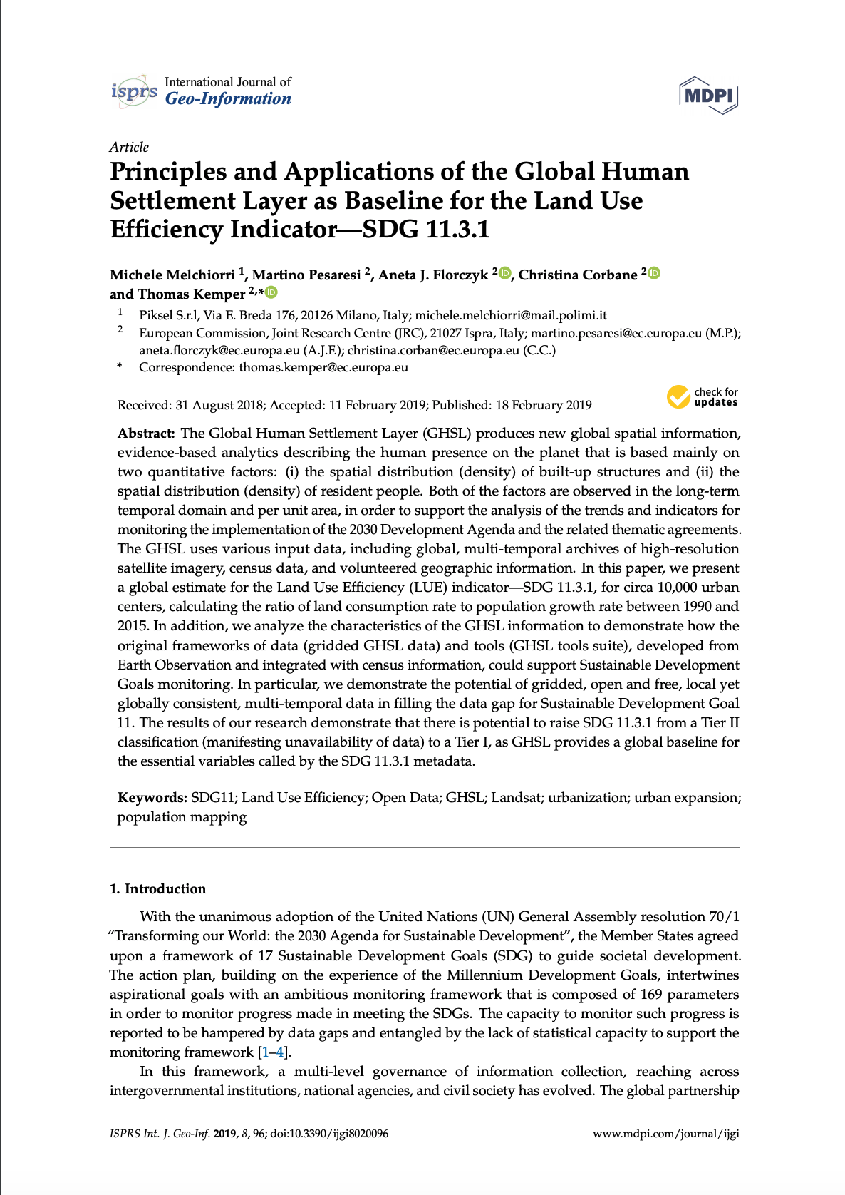
Principles and Applications of the Global Human Settlement Layer as Baseline for the Land Use Efficiency Indicator—SDG 11.3.1

Reports & Research
Janeiro, 2019
Global

The Global Human Settlement Layer (GHSL) produces new global spatial information, evidence-based analytics describing the human presence on the planet that is based mainly on two quantitative factors: (i) the spatial distribution (density) of built-up structures and (ii) the spatial distribution (density) of resident people. Both of the factors are observed in the long-term temporal domain and per unit area, in order to support the analysis of the trends and indicators for monitoring the implementation of the 2030 Development Agenda and the related thematic agreements.

A long way home

Policy Papers & Briefs
Dezembro, 2012
África do Sul

This working paper by Tikvah Breimer previously of the Institute for Housing and Urban Development Studies (IHS) and Mark Napier previously of Urban LandMark, analyses the provision of core housing in Khayelitsha, Cape Town, specifically taking into account the residents' response to the state's delivery of core housing. It aims to explore to what extent the South African government's approach to providing large-scale housing addresses the relevant demands in the context of rapid urbanisation.

Território e identidade: conflitos socioambientais na comunidade quilombola onze negras Cabo de Santo Agostinho/PE

Reports & Research
Dezembro, 2010
América Latina e Caribe
América do Sul
Brasil
Na sociedade contemporânea são grandes as preocupações frente às alterações ambientais e a maneira como as relações humanas estão entrelaçadas a esta problemática. O acelerado desenvolvimento científico e tecnológico baseado na utilização de recursos da biodiversidade e no conhecimento de comunidades tradicionais nos leva a discutir a atual realidade.

Comparing Quantity, Allocation and Configuration Accuracy of Multiple Land Change Models

Peer-reviewed publication
Setembro, 2017
Global

The growing numbers of land change models makes it difficult to select a model at the beginning of an analysis, and is often arbitrary and at the researcher’s discretion. How to select a model at the beginning of an analysis, when multiple are suitable, represents a critical research gap currently understudied, where trade-offs of choosing one model over another are often unknown. Repeatable methods are needed to conduct cross-model comparisons to understand the trade-offs among models when the same calibration and validation data are used.

The Dynamics of Urban Land Rent in Italian Regional Capital Cities

Peer-reviewed publication
Setembro, 2017
Global

This research tries to interpret the results of the empirical analysis of urban land value variations from 1977 to 2012 in the regional Italian capital cities based on the well-known theory of urban land rent. The historical series to be analyzed were obtained as the difference between the market value of a property and its cost of production. The paper shows, in quantitative terms, how differential and absolute rents will be translated into the dynamics of land values in relation to local specificities.

Flood Hazard Mapping of a Rapidly Urbanizing City in the Foothills (Birendranagar, Surkhet) of Nepal

Peer-reviewed publication
Junho, 2018
Nepal

Flooding in the rapidly urbanizing city of Birendranagar, Nepal has been intensifying, culminating in massive loss of life and property during July and August 2014. No previous studies have monitored underlying land-cover dynamics and flood hazards for the area. This study described spatiotemporal urbanization dynamics and associated land-use/land-cover (LULC) changes of the city using Landsat imagery classifications for five periods between 1989 and 2016 (1989–1996, 1996–2001, 2001–2011, 2011–2016).

Land Use Changes in Iberian Peninsula 1990–2012

Peer-reviewed publication
Setembro, 2018
Portugal
Espanha

This work aims to provide a comprehensive, wall-to-wall analysis of land use/cover changes in the continental areas of Portugal and Spain between 1990 and 2012. This overall objective is developed into two main research questions: (1) Whether differences between the extent and prevalence of changes exist between both countries and (2) which are the hotspots of change (areas where a given land use/cover transition dominates the landscape) in each country.

Assessment of Land Cover Changes in the Hinterland of Barranquilla (Colombia) Using Landsat Imagery and Logistic Regression

Peer-reviewed publication
Dezembro, 2018
Colômbia

Barranquilla is known as a dynamically growing city in the Colombian Caribbean. Urbanisation induces land use and land cover (LULC) changes in the city and its hinterland affecting the region’s climate and biodiversity. This paper aims to identify the trends of land use and land cover changes in the hinterland of Barranquilla corresponding to 13 municipalities in the north of the Department Atlántico. Landsat TM/ETM/OLI imagery from 1985 to 2017 was used to map and analyse the spatio-temporal development of land use and land cover changes.