Passar para o conteúdo principal

page search

Displaying 1 - 8 of 8

Reflection on LAND-at-scale side-event at CLPA 2023: Climate-Resilient Land Use Planning as a Tool for Addressing Land Degradation

23 Fevereiro 2024
Gemma Betsema
Aoife Ossendorp

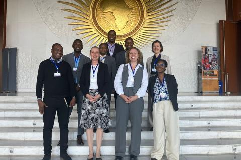
During the Conference for Land Policy in Africa (CLPA) which took place in Addis Ababa in November 2023, LAND-at-scale organised the side-event ''Climate-Resilient Land Use Planning as a Tool for Addressing Land Degradation''. The LAND-at-scale (LAS) project partners and their government constituencies from Mozambique, Rwanda and Uganda participated in person. The set-up of the session was dynamic with each country first ‘pitching’ how land use planning processes were important in their LAS interventions, and then the government representatives adding to that a perspective from government. In each of the countries, the LAS partners consisting of NGOs and UN organizations, work closely with national or district land use planning officers of the government in carrying out project activities.

Understanding the link between Climate & LAND-at-scale country projects - The nexus between land governance and climate change, Búzi District, Sofala Province, Mozambique

19 Fevereiro 2024
Simon Peter Mwesigye
Teddy Kisembo
Jordana Wamboga
Aoife Ossendorp

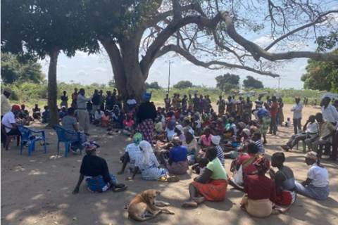
As part of a scoping study titled Land Governance for Climate Resilience: A review and case studies from LAND-at-scale projects headed by Richard Sliuzas, Emeritus Professor, University of Twente, CTV explored the links between climate and land governance in the LAND-at-scale project “Scaling Community Legal Literacy, Land Rights Certification and Climate Resilience in Mozambique”. This case study focusses on experiences from the Búzi District, where Cyclone Idai (March 2019) showed the need for proactive interventions in the land sector aimed at preparing districts and local communities to face and plan for severe climatic phenomena and their impacts, but also the challenges at making this link explicit. 

MapBiomas publica: RAD 2021 RELATÓRIO ANUAL DO DESMATAMENTO NO BRASIL

01 Agosto 2022
Delaide Silva

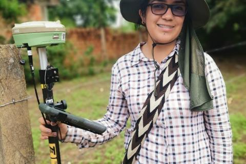
No último mês de julho, o MapBiomas [1], uma rede criada a partir de trabalhos conjuntos entre ONGs (Organizações não Governamentais), universidades, startups de tecnologia, publicou o relatório RAD 2021 - Relatório Anual do Desmatamento no Brasil [2], cujo objetivo é analisar os alertas de desmatamento detectados no ano de 2021. A iniciativa visa contribuir para o fim do desmatamento no Brasil por meio de um sistema de validação e geração de laudos de alertas de desmatamento em todo o país.

Securing land tenure in Uganda: A collaborative approach to address root causes of food insecurity

07 Outubro 2021
Lisette Meij

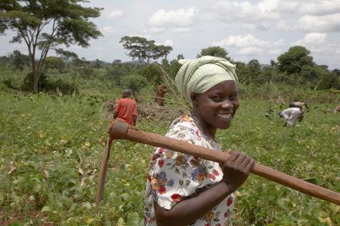
There is an immense pressure on land in Uganda. The country has a rapidly growing population and is host to the world’s third largest refugee population. Particularly poor people struggle to get access to healthy food. Agriculture practices need to become more efficient and focused on the domestic market. The Embassy of the Kingdom of the Netherlands (EKN) in Uganda works to improve food security in selected areas in the country. Among several food security projects, the EKN works with the LAND-at-scale program to improve land governance.

Apresentando o PlaceFund

15 Janeiro 2020
Mike Kubzansky
Hoje, temos o prazer de anunciar o lançamento oficial do PlaceFund, uma organização independente sem fins lucrativos dos EUA, focada em resolver questões de insegurança dos direitos de propiedade, uso insustentável da terra e mudanças climáticas.

Land rights for cocoa farmers aren’t just good stewardship, they’re smart business

05 Novembro 2019
Yuliya Panfil

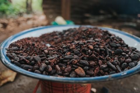
Last week the World Cocoa Foundation, a membership organization of more than 100 cocoa companies, held its annual partnership meeting in Berlin, Germany. The aim of the meeting is for governments, cocoa companies and farmers to identify and tackle the sector’s largest sustainability challenges. A 90-minute session was devoted to the topic of land tenure. The prominence of the session, as well as the seniority of the presenters – the Head of Sustainable Sourcing for Hershey’s and the Deputy Director General of Cote d’Ivoire’s Land Agency among them – is a powerful signaling effect.

Deforestation and forest degradation in the Amazon Biome

26 Maio 2019

Introduction

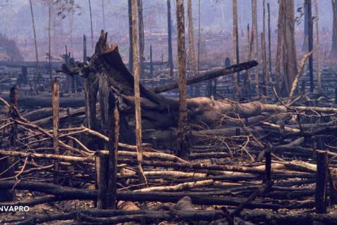
The Deforestation and Forest Degradation in the Amazon Biome map was produced by Imazon in order to contribute towards monitoring in the region. The methodology applied simultaneously generates mapping of deforestation and forest degradation [caused by logging activity and forest burning] using Landsat satellite images. Existing methods individually detect and map those processes, which can lead to overlaps in the results and increasing uncertainty in estimates of annual deforestation rates.