Passar para o conteúdo principal

page search

Displaying 1621 - 1632 of 1710

Some remarks on cadastres in general and on some features of the establishment and maintenance of a cadastre, seen in the light of present-day surveying possibilities

Conference Papers & Reports
Novembro, 1970
Africa

A Cadastre, in the sense to be used in this paper, is a methodically established record of immovable. (Land, buildings, rights that are put on a par with landed property) based on the survey of a complete district. The official record of a cadastral survey generally consists of a drawing or map and a written description of the field work. Cadastres as a rule consist of a map of the survey, a register arranged according to parcels, a register arranged according to proprietors and some auxiliary registers for easier handling. The single parcels are systematically numbered, on the map.


Cadastre congolais

Conference Papers & Reports
Novembro, 1970
Democratic Republic of the Congo

Dans la pratique, l'Etat dénonça les terres vacantes une à une, au fur et à mesure de ses besoins, par le moyen des "enquêtes de vacance". Ces enquêtes déterminaient par l’organe de fonctionnaires territoriaux spécialement entraines à cet effet, s'il existait sur la terre recherchée, des droits indigènes tels que définis plus haut.

The role of maps in land registration

Reports & Research
Outubro, 1970
Africa

It is not possible to prepare a satisfactory register of properties and to guarantee title to those properties unless the properties have been positively identified i.e. unless it is possible to identify the boundaries of the properties with certainty. It is for this reason that in most modern systems of Registration of Title the Registrar requires that each property shall be unambiguously defined by representing its boundaries on a registry index map before recording the ownership of the property in the official register.

The Status of cadastral surveys and land registration services in Tanzania and future development : figures I to IV

Conference Papers & Reports
Outubro, 1970
Africa

Most of the Cadastral surveys in the country are done by the survey and mapping division. In the laws, there is a provision for a licensed surveyor who may also carry out cadastral; surveys, but at present there is none in the country.

The status of cadastral surveys and land registration service in Nigeria : submitted by the government of the federal republic of Nigeria

Conference Papers & Reports
Outubro, 1970
Africa

In Nigeria today in spite of the phenomenal progress which has been made since independence, there is an ever increasing demand for industrial and commercial development, agricultural development, and improvement in living standards.

Good Governance in Land Administration

Journal Articles & Books
Dezembro, 1969

This joint FAO-World Bank publication aims to draw attention to the negative impacts of weak governance in land administration and to point out the manifold benefits of good governance in the protection of property rights and the development of efficient land and property markets. It provides positive examples of good practices from around the world, as well as an overview of principles and key questions to be applied in any country for the evaluation of governance in land administration.

Access to rural land and land administration after violent conflicts

Journal Articles & Books
Dezembro, 1969

This guide on Access to rural land and land administration after violent conflicts has been prepared to assist land tenure and land administration specialists who are involved with the reconstruction of systems of land tenure and land administration in countries that are emerging from violent conflict. Providing secure access to land is particularly complex in such situations. Violent conflicts typically result in the displacement of much of the population. At the end of the conflict, people returning home may find that others occupy their property.

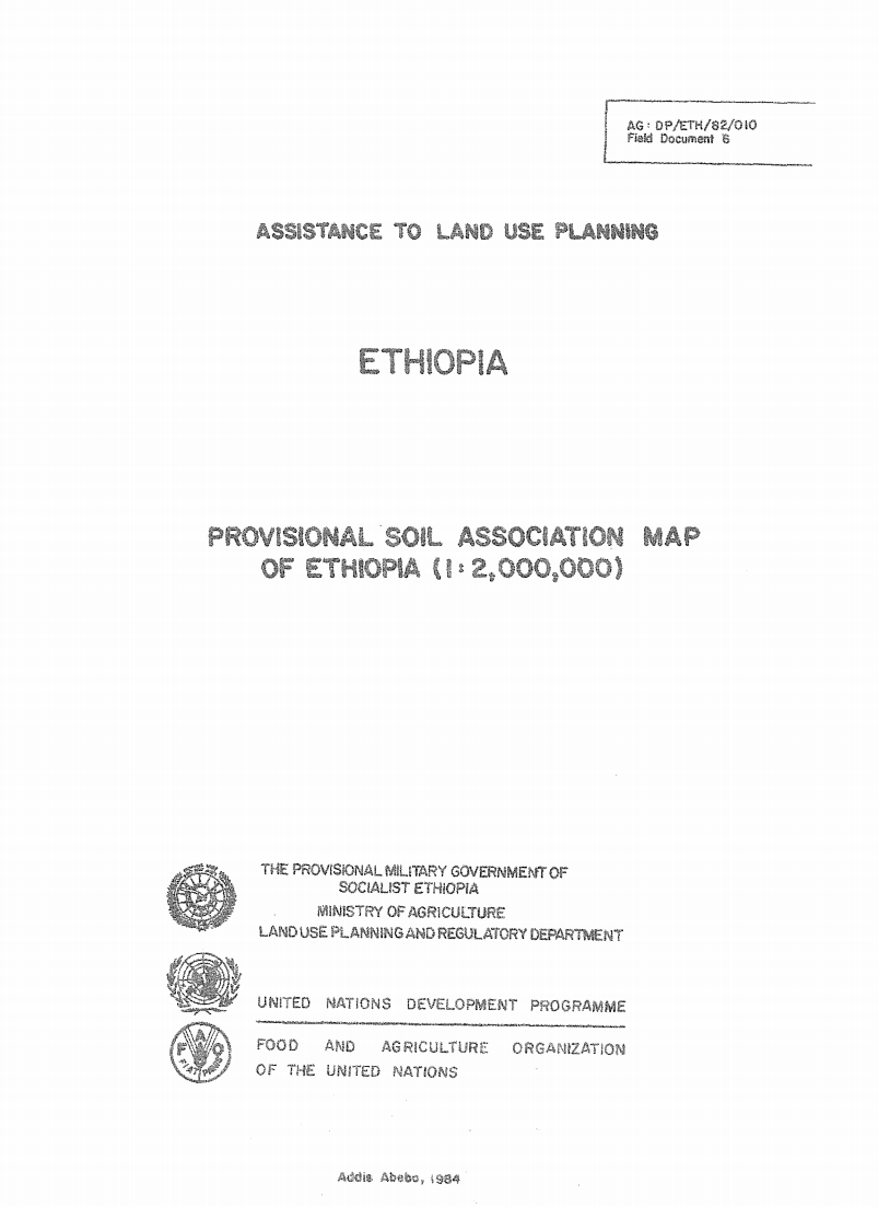
Assistance to Land Use Planning: Ethiopia. Provisional Soil Association Map of Ethiopia (1:2,000,000)

Training Resources & Tools
Dezembro, 1969
Ethiopia

The 1: 2 000 000 Soil Associations map is based on

the Geomorphology and Soils map, at 1: 1 000 000 scals, prepared

by the FAO/UNDP Eth/78/003, Assistance to Land Use PlJ

Project in 1981 It incorporates some new information ob%,3 _

since the finalizing of the Geomorphology and soils map.