Passar para o conteúdo principal

page search

Displaying 85 - 96 of 280

28. Application of Geomatics for Mapping Land and Natural Resource Use and Rights: A Case Study of IFAD Programmes in East and Southern Africa - PPT

LandLibrary Resource
Multimedia
Março, 2016
Eastern Africa
Southern Africa

Application of Geomatics for Mapping Land and Natural Resource Use and Rights: A Case Study of IFAD Programmes in East and Southern Africa

Quality Assurance/Quality Control (QA/QC) and Verification tool

LandLibrary Resource
Journal Articles & Books
Fevereiro, 2016

This user instruction guide provides description of the Quality Assurance/Quality Control (QA/QC) and Verification tool, which is part of the AFOLU Emissions Analysis Tools aimed at supporting Member Countries in improving their national capacity to address UNFCCC reporting requirements and to design climate policy actions (i.e.

Herramienta Garantía de calidad - control de calidad (GC_CC) y verificación

LandLibrary Resource
Journal Articles & Books
Fevereiro, 2016

La herramienta Garantía de calidad - control de calidad (GC-CC) y verificación es parte de las Herramientas de análisis de emisiones del sector AFOLU, destinadas a apoyar a los países miembros a países miembro para mejorar la capacidad nacional de satisfacer los requisitos de presentación de informes de la Convención Marco de las Naciones Unidas sobre Cambio Climático (CMNUCC), y para diseñar a

Fit-for-Purpose Land Administration: Guiding Principles for Country Implementation

LandLibrary Resource
Manuals & Guidelines
Fevereiro, 2016
Global

The guide proposes guiding principles to build Fit-For-Purpose land administration systems in order to deliver benefits, including secure tenure rights, to a wide range of stakeholders. It provides structured guidance on building the spatial, legal and institutional frameworks in support of designing country-specific strategies for implementing FFP land administration.

KENYA URBANIZATION REVIEW

LandLibrary Resource
Manuals & Guidelines
Reports & Research
Janeiro, 2016
Quênia

The story of urbanization in Kenya should be one of cautious optimism. As an emerging middle-income country with a growing share of its population living in urban areas and a governance shift toward devolution, the country could be on the verge of a major social and economic transformation.

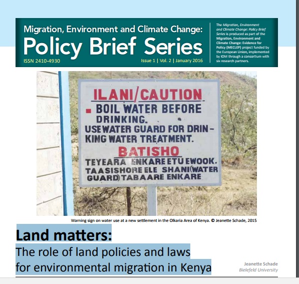
Land matters: The role of land policies and laws for environmental migration in Kenya

LandLibrary Resource
Policy Papers & Briefs
Dezembro, 2015
Quênia

Matters of environmental migration are frequently looked at from a humanitarian perspective.1 This policy brief will instead look at it with a lens focusing on land issues. The question of environmental migration is inevitably linked to the question of land for several reasons.

Determination of potential grapevine (Vitis spp.) cultivation areas of Turkey based on topographic and climatic factors by using Geographic Information Systems (GIS) Techniques

LandLibrary Resource
Policy Papers & Briefs
Dezembro, 2015
Turquia

Turkey is homeland of the grapevine (Vitis spp.), one of the most important agricultural products in the World. Our country, having the favorable climatic conditions for viticulture, has an important role among the viticulture farming countries of the World.

World reference base for soil resources 2014

LandLibrary Resource
Journal Articles & Books
Novembro, 2015
França
Brasil
Estados Unidos
Luxemburgo
Chile
Alemanha
Bulgária
Áustria
Nova Zelândia
África do Sul
Austrália
Itália
Polônia
Países Baixos
República Checa
Canadá
México
Noruega
Gana

This publication is a revised and updated version of World Soil Resources Reports No. 84 and 103 and presents the international soil classification system. Every soil in the world can be allocated to one of the 32 Reference Soil Groups as defined in this document, and can further be characterized by a set of qualifiers.

Atlas de Cobertura del Suelo de Uruguay. Cobertura de Suelo y Cambios 2000-2011

LandLibrary Resource
Journal Articles & Books
Novembro, 2015
Uruguai
Américas

Este Atlas proporciona información confiable y actualizada para el conocimiento de la cobertura del suelo en el Uruguay y el análisis de sus cambios a partir del año 2000. El objetivo del mismo es contribuir al monitoreo informado del territorio usando el Sistema de clasificación estandarizado LCCS (Land Cover Classification System) de FAO.