KENYA URBANIZATION REVIEW
Manuals & Guidelines
Reports & Research
Janvier, 2016
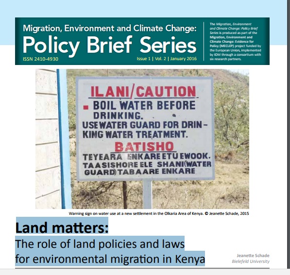
Kenya
The story of urbanization in Kenya should be one of cautious optimism. As an emerging middle-income country with a growing share of its population living in urban areas and a governance shift toward devolution, the country could be on the verge of a major social and economic transformation. How it manages its urbanization and devolution processes will determine whether it can maximize the benefits of its transition to a middle-income country.