Aller au contenu principal

page search

Displaying 97 - 108 of 277

Charte mondiale des sols révisée

Reports & Research
Août, 2015
Italie

Des sols sains sont une condition préalable essentielle pour satisfaire divers besoins en nourriture, biomasse (énergie), fibre, fourrage et autres produits; et pour assurer la fourniture de services écosystémiques essentiels dans toutes les régions du monde. Cependant, les ressources en sol de l’humanité sont confrontées à des pressions sans précédent. Il s’agit notamment de diverses formes de dégradation des sols, dont l’imperméabilisation liée à une urbanisation rapide, qui ont de graves conséquences. La sécurité alimentaire et l’équilibre écologique de la planète sont menacés.

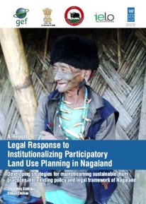
Legal Response to Institutionalizing Participatory Land Use Planning in Nagaland

Reports & Research
Juillet, 2015
Inde

The report, prepared by the Indian Environment Law Offices, offers insights on mainstreaming Shifting Cultivation or Jhum through innovative interventions, such as Participatory Land Use Planning into policy, legal and institutional framework in Nagaland and help the state realize its full development potential.

Malaysian Land Administration Domain Model Country Profile

Peer-reviewed publication
Juillet, 2015
Malaysia

Land administration is a process of recording and disseminating information about the association between people and land. To administer land matters in Malaysia, the Department of Surveying and Mapping Malaysia uses eKadaster and Land Office has eTanah which are different in e-Systems. Currently, Malaysia does not have a standard model for land administration and standardisation is one of the important aspects in a land administration process. This paper proposed a country profile model using international standards based on Land Administration Domain Model.

Resource Atlas of Isiolo County, Kenya: Community-based mapping of pastoralist resources and their attributes

Reports & Research
Juin, 2015
Kenya

Participatory digital mapping using satellite imagery and digital earth and other open source Geographic Information Systems (GIS) is a practical tool bridging the knowledge and communication gap between pastoral communities and county government planners. It is offering an effective option for participatory planning and decision-making in support of climate change adaptation in the drylands of Kenya.


Carta Mundial de los Suelos Revisada

Reports & Research
Mai, 2015
Italie

Los suelos saludables son un requisito previo básico para satisfacer las diversas necesidades de alimentos, biomasa (energía), fibra, forraje y otros productos, y para garantizar la prestación de los servicios ecosistémicos esenciales en todas las regiones del mundo. Sin embargo, la humanidad se enfrenta a presiones sin precedentes sobre el recurso suelo. En particular, diversos tipos de degradación -incluyendo el sellado debido a la rápida urbanización- está haciendo pagar un elevado peaje, amenazando la seguridad alimentaria y el equilibrio ecológico.

Globalland30 Mapping Capacity of Land Surface Water in Thessaly, Greece

Peer-reviewed publication
Mars, 2015
Grèce

The National Geomatics Center of China (NGCC) produced Global Land Cover (GlobalLand30) maps with 30 m spatial resolution for the years 2000 and 2009–2010, responding to the need for harmonized, accurate, and high-resolution global land cover data. This study aims to assess the mapping accuracy of the land surface water layer of GlobalLand30 for 2009–2010. A representative Mediterranean region, situated in Greece, is considered as the case study area, with 2009 as the reference year.

Considerations on the public availability and application of time-series land use data of the Tohoku tsunami damage regions

Journal Articles & Books
Mars, 2015
Japan

The Japanese public now has access to vast amounts of geographical information produced by many government agencies and media outlets on the tsunami caused by the Great East Japan Earthquake. Many maps and images not only inform the public about the tsunami damage area, but potentially help the public and policy makers understand the landscape damaged by the tsunami, and plan reconstruction. However, large amounts of publically available data still remain underutilized.

Land Use in Kenya; The case for a national land-use policy

Journal Articles & Books
Février, 2015
Kenya

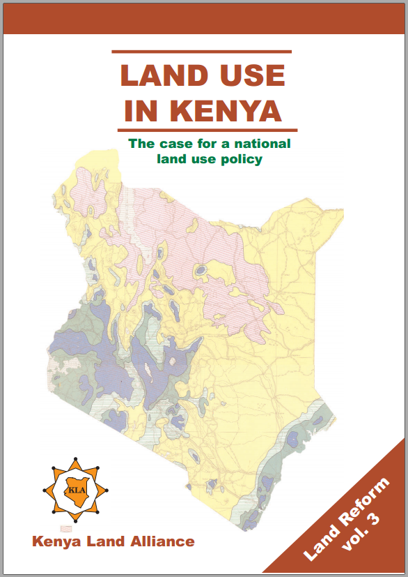
This book exposes the key land use and environmental problems facing Kenya today due to lack of an appropriate national land use policy. The publication details how the air is increasingly being polluted, the water systems are diminishing in quantity and deteriorating in quality. The desertification process threatens the land and its cover. The soils are being eroded leading to siltation of the ocean and lakes. The forests are being depleted with impunity thus destroying the water catchments.

Mapping Guidelines for Participatory Rangeland Management in Pastoral and Agro-Pastoral Areas

Manuals & Guidelines
Janvier, 2015
Global

The purpose of these Mapping Guidelines is to support development practitioners (individuals and organizations) working in the rangelands and sub-humid grasslands of Ethiopia. Specifically, resource mapping can assist with investigating rangeland management systems, negotiating rangeland management plans, and implementing and monitoring progress in Participatory Rangeland Management (PRM). The Mapping Guidelines will provide rangeland management practitioners with a tool to help establish PRM within community, district, zone and regional rangeland management offices across Ethiopia.