Passar para o conteúdo principal

page search

Displaying 6721 - 6732 of 8061

Reserve selection with minimum contiguous area restrictions: An application to open space protection planning in suburban Chicago

Journal Articles & Books
Dezembro, 2009

Conservation efforts often require site or parcel selection strategies that lead to spatially cohesive reserves. Although habitat contiguity is thought to be conducive to the persistence of many sensitive species, availability of funding and suitable land may restrict the extent to which this spatial attribute can be pursued in land management or conservation. Using optimization modeling, we explore the economic and spatial tradeoffs of retaining or restoring grassland habitat in contiguous patches of various sizes near the Chicago metropolitan area.

indicator of forest dynamics using a shifting landscape mosaic

Journal Articles & Books
Dezembro, 2009
Estados Unidos

The composition of a landscape is a fundamental indicator in land-cover pattern assessments. The objective of this paper was to evaluate a landscape composition indicator called 'landscape mosaic' as a framework for interpreting land-cover dynamics over a 9-year period in a 360,000 km2 study area in the southern United States. The indicator classified a land parcel into one of 19 possible landscape mosaic classes according to the proportions of natural, developed, and agriculture land-cover types in a surrounding 4.41-ha neighborhood.

Using occupancy models of forest breeding birds to prioritize conservation planning

Journal Articles & Books
Dezembro, 2009

As urban development continues to encroach on the natural and rural landscape, land-use planners struggle to identify high priority conservation areas for protection. Although knowing where urban-sensitive species may be occurring on the landscape would facilitate conservation planning, research efforts are often not sufficiently designed to make quality predictions at unknown locations. Recent advances in occupancy modeling allow for more precise estimates of occupancy by accounting for differences in detectability.

Combining pedometrics, remote sensing and field observations for assessing soil loss in challenging drylands: A case study of Northwestern Somalia

Journal Articles & Books
Dezembro, 2009
Somália

Soil loss is a major concern for land managers due to its influence on biomass production, surface water quality and landscape beauty. In Somalia, the risk of soil loss is accelerated by the removal of vegetation, bad land use practices and negative impacts of urbanization. The political upheavals and consequent insecurity in the country are major limitations for detailed database and research in soil loss.

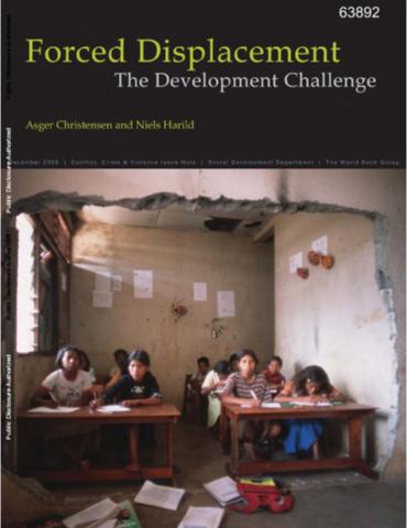
Forced Displacement

Training Resources & Tools
Policy Papers & Briefs
Dezembro, 2009

This note discusses the development dimensions of forced displacement, and the potential role of the World Bank to address these dimensions and contribute to durable solutions for group's who have returned from or are in displacement situations. For the purposes of this note, forced displacement refers to the situation of persons who are forced to leave or flee their homes due to conflict, violence, and human rights violations.