Passar para o conteúdo principal

page search

Displaying 7969 - 7980 of 17898

DEVELOPMENT AND IMPLEMENTATION OF THE LAND MANAGEMENT SYSTEM: AN IMPETUS OR A DETERRENT TO EFFECTIVE AND EFFICIENT LAND MANAGEMENT IN KENYA?

Journal Articles & Books
Fevereiro, 2016
Quênia

A Land Information Management System (LIMS) is an information system that enables the capture, management, and analysis of geographically referenced land-related data in order to produce land information for decision-making in land administration and management. The system is a Geospatial Information System (GIS) driven for the purposes of handling and managing parcel based information. The Republic of Kenya, located in East Africa, ranks 33rd in the world in terms of population with 38.6 million people and has a land area of 224,081 square miles.

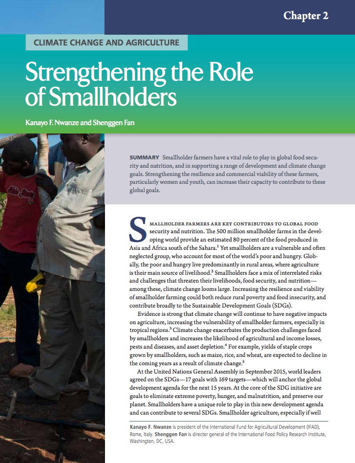
Climate change and agriculture: Strengthening the role of smallholders

Peer-reviewed publication
Fevereiro, 2016
Global

Smallholder farmers have a vital role to play in global food security and nutrition, and in supporting a range of development and climate change goals. Strengthening the resilience and commercial viability of these farmers, particularly women and youth, can increase their capacity to contribute to these global goals.

Linking livelihood and ecosytem change in two dryland sites in South Africa over a period of 30 years

Reports & Research
Fevereiro, 2016
África austral

The ongoing and rapid change (from global to local level) in climate, populations, governments, cultures, environment, land use and economies are critical issues, especially for poor rural communities found in the dryland parts of southern Africa.

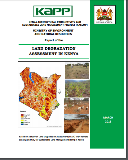
LAND DEGRADATION ASSESSMENT IN KENYA

Reports & Research
Fevereiro, 2016
Quênia

A summary of the findings of a study of land degradation assessment (LADA) with remote sensing (RS) and geographic information systems (GIS), and its implications for sustainable land management (SLM) in Kenya is presented. The assessment was conducted over a 6-month period in July-December 2015. The need for the LADA is in line with the Kenya Government’s strong interest in moving towards a country programmatic approach, for sustainable land management (SLM).

Décret exécutif n° 16-83 du 21 Joumada El Oula 1437 correspondant au 1er mars 2016 fixant les modalités d’élaboration du plan d’aménagement du territoire de wilaya.

Regulations
Fevereiro, 2016
Argélia

Le présent décret fixe les modalités d’élaboration du plan d’aménagement du territoire de wilaya, en application des dispositions de l’article 54 de la loi n° 01-20 du 27 Ramadhan 1422 correspondant au 12 décembre 2001 relative à l’aménagement et au développement durable du territoire.Le plan d’aménagement du territoire de wilaya est un instrument de mise en œuvre de la politique d’aménagement et de développement durable sur le territoire de la wilaya ayant pour objectif d’assurer la cohérence entre : les instruments hiérarchisés d’aménagement du territoire situés en amont : le schéma natio

Decree-Law No. 14/2016 approving the Regulation on the preparation and implementation process of the Plans for the Management of Coastal Zones and the Adjacent Sea (POOC_M).

Legislation
Fevereiro, 2016
Cabo Verde

This Decree-Law, consisting of 7 Chapters and three Annexes, regulates the preparation and implementation process of the Plans for the Management of Coastal Zones and the Adjacent Sea (POOC_M). This Plans are territorial management tools containing a set of actions for the coastal zone management, which interventions are planned for the terrestrial areas, referred as 'onshore', and areas called as 'adjacent sea areas'.

Development of Decadal National Land Cover Database for Jordan

Conference Papers & Reports
Fevereiro, 2016
Western Asia
Jordan

The main objective of this study is to introduce the first consistent long ­term land cover database for Jordan. The Jordan National Land Cover Database (JNLCD) consists of four land cover maps for the years 1984, 1991, 1998, and 2014 that were developed at 30m resolution using a total of 11 Landsat TM/OLI satellite scenes. We primarily applied ISO DATA classification method and rule ­based method for refining misclassified classes. The overall accuracy achieved for the 1984 land cover map was 88% and for the 2014 land cover map was 93%.

Environmental scanning and futures wheels as tools to analyze the possible future themes of the commercial real estate market

Peer-reviewed publication
Fevereiro, 2016
Global

The commercial real estate market is closely linked to the surrounding society, as commercial buildings have several economic, environmental, political, social and cultural influences. Correspondingly, the surrounding society, its actors and the different forces of change appearing in the market environment also have their own influence on the real estate market environment and its future development.

Stocks and flows of natural and human-derived capital in ecosystem services

Peer-reviewed publication
Fevereiro, 2016
Global

There is growing interest in the role that natural capital plays in underpinning ecosystem services. Yet, there remain differences and inconsistencies in the conceptualisation of capital and ecosystem services and the role that humans play in their delivery. Using worked examples in a stocks and flows systems approach, we show that both natural capital (NC) and human-derived (produced, human, social, cultural, financial) capital (HDC) are necessary to create ecosystem services at many levels. HDC plays a role at three stages of ecosystem service delivery.

People’s Manual on the Guidelines on Governance of Land, Fisheries and Forests: A guide for promotion, implementation, monitoring and evaluation

Manuals & Guidelines
Fevereiro, 2016
Global

The manual explains how to use the Voluntary Guidelines on Responsible Governance of Tenure in everyday life to protect the rights of peasants and other communities.

Legally and Illegally Logged Out: Drivers of Deforestation & Forest Degradation in Myanmar

Reports & Research
Fevereiro, 2016
Myanmar

... Myanmar’s forest and timber sector has been central to the country’s economy and society, particularly over the last century. Since the colonial era, timber has been a major export revenue earner to Burma/Myanmar and thus subject to much political debate (Bryant 1996). In addition to timber export revenues, the forests of Myanmar have always provided timber and non-timber forest products for domestic consumption as well as a range of environmental services including water catchment, habitat for flora and fauna, carbon storage, and soil nutrient recovery in rotational agriculture.

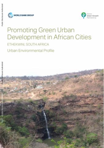
Promoting Green Urban Development in African Cities

Reports & Research
Training Resources & Tools
Fevereiro, 2016
África do Sul
África austral
África
África subsariana

The city of eThekwini or Durban has undergone a period of rapid urbanization that has contributed to the degradation of the city’s natural environment. Climate change is placing further strains on the city’s ability to manage the urban environment. The urban environmental profile of eThekwini has been prepared as the first component of the assignment promoting green urban development in Africa: enhancing the relationship between urbanization, environmental assets and ecosystem services, a project being conducted under the leadership of the World Bank.