Passar para o conteúdo principal

page search

Displaying 1 - 12 of 18

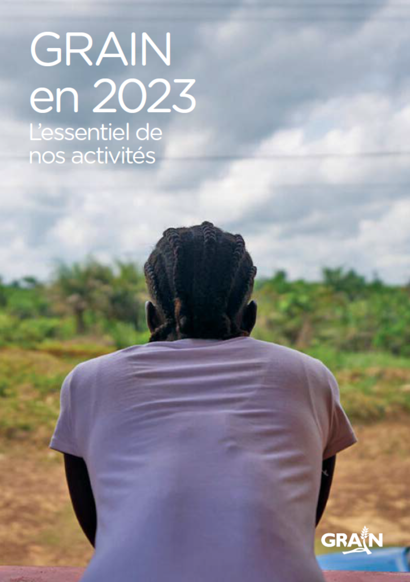
GRAIN en 2023 : l'essentiel de nos activités

Reports & Research
Julho, 2024
Afrique
Terres australes et antarctiques françaises
Amériques
Asie
Europe
Océanie
Australie et Nouvelle-Zélande

La concentration du pouvoir des entreprises dans le système alimentaire est restée un défi redoutable en 2023, mais GRAIN, avec ses partenaires et allié·es, a continué à défendre la souveraineté alimentaire comme véritable alternative.

State of Land Information in Madagascar

Reports & Research
Agosto, 2023
Madagascar

This report on the land data ecosystem in Madagascar is the first step towards providing a baseline and diagnostic tool to inform conversations around land and data governance. It aims to complement existing initiatives to improve the accuracy and extent of land data in Madagascar and identify opportunities to improve public access to all forms of land information.

État de l'information foncière à Madagascar

Reports & Research
Agosto, 2023
Madagascar

Ce rapport sur l'écosystème des données foncières à Madagascar est la première étape vers la fourniture d'une base de référence et d'un outil de diagnostic pour informer les conversations autour de la gouvernance foncière et des données. Il vise à compléter les initiatives existantes pour améliorer la précision et l'étendue des données foncières à Madagascar et à identifier les opportunités d'améliorer l'accès du public à toutes les formes d'informations foncières.

Executive Summary: State of Land Information in Madagascar

Reports & Research
Agosto, 2023
Madagascar

This report on the land data ecosystem in Madagascar is the first step towards providing a baseline and diagnostic tool to inform conversations around land and data governance. It aims to complement existing initiatives to improve the accuracy and extent of land data in Madagascar and identify opportunities to improve public access to all forms of land information.

Résumé : État de l'information foncière à Madagascar

Reports & Research
Agosto, 2023
Madagascar

Ce rapport sur l’écosystème des données foncières à Madagascar est la première étape vers la fourniture d’une base de référence et d’un outil de diagnostic pour informer les conversations autour de la gouvernance foncière et des données. Il vise à compléter les initiatives existantes pour améliorer la précision et l’étendue des données foncières à Madagascar et à identifier les opportunités d’améliorer l’accès du public à toutes les formes d’informations foncières.

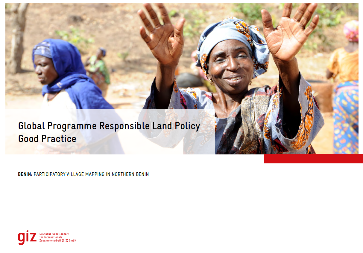
Good Practice Benin - PVM

Institutional & promotional materials
Junho, 2023
Benin

The Global Programme 'Responsible Land Policy' (GPRLP) is part of the Special Initiative 'One World, No Hunger' of the German Federal Ministry for Economic Cooperation and Development (BMZ), which aims to reduce extreme poverty and hunger.

The Use Of Unmanned Aerial Vehicles For Cadastral Mapping In Ghana-Assessing The Effect Of Varying Sensor Types, Flying Height, Image Overlap And Ground Control Point Density

Dezembro, 2021
Ghana

ABSTRACT  Context and background In Ghana the predominant method for performing cadastral surveys is through the use of Global Navigation Satellite Systems (GNSS) static surveys and to a lesser extent Total Stations.

Guide Méthodologique de réalisation de la cartographie participative au Bénin

Manuals & Guidelines
Abril, 2021
Afrique sub-saharienne
Afrique occidentale
Bénin

Face aux enjeux liés à la gouvernance foncière, plusieurs initiatives de cartographie participative ont été menées, au Bénin et ailleurs en Afrique. Une initiative de ce type est d’autant plus indispensable au Bénin, sachant que les limites des villages n’ont pas encore de reconnaissance administrative. Comment tirer des enseignements de ces expériences, pour alimenter la méthodologie de réalisation des cartes participatives ? Une méthode de cartographie participative peut-elle être institutionnalisée ?

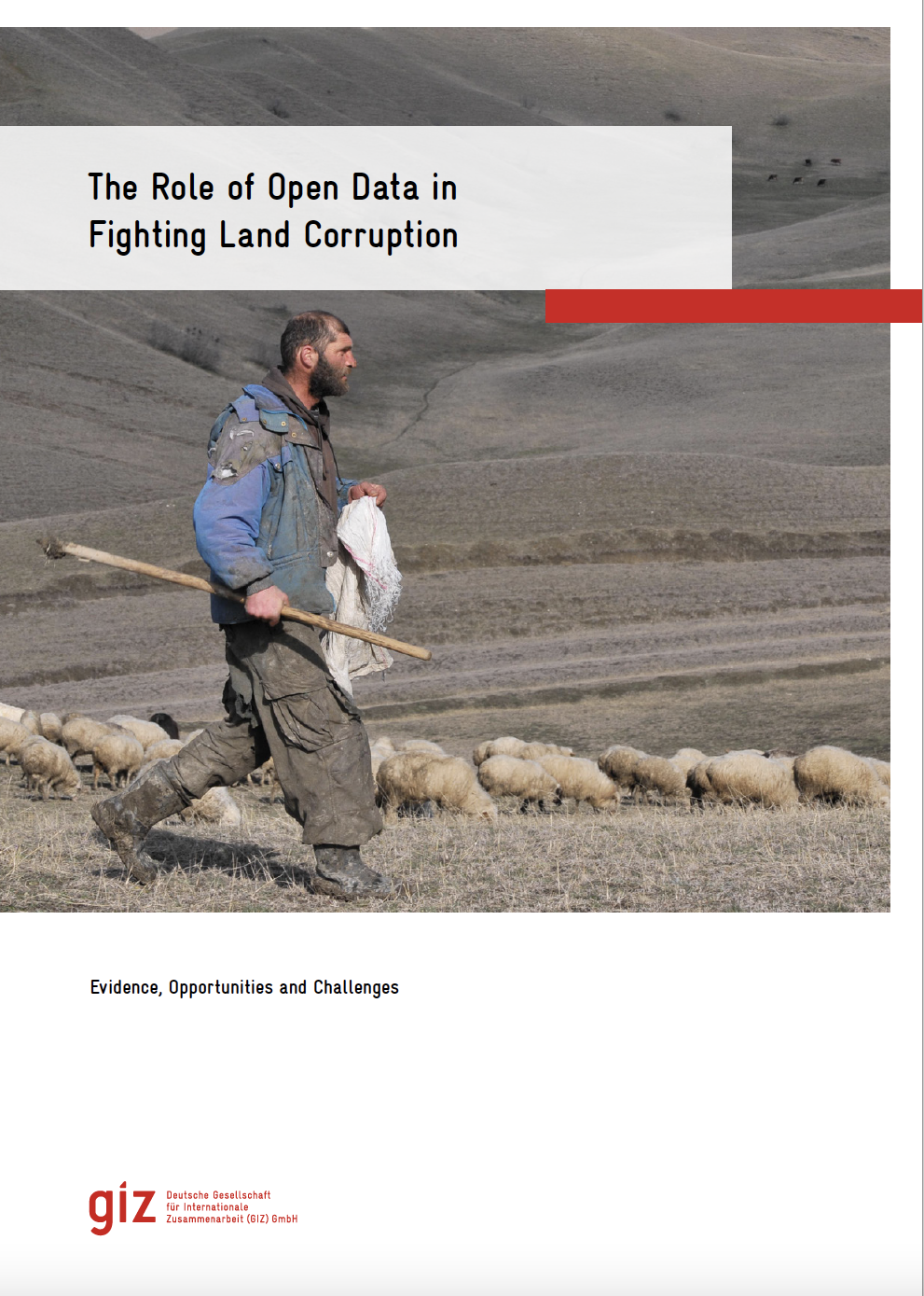
The role of open data in fighting land corruption

Reports & Research
Dezembro, 2020
Global

The rapid progress in digital information and communication technologies  (ICTs) comes with both fresh opportunities and new challenges for different sectors and actors adopting the new solutions that become available over time. Since the mid-2000s, the global land governance community has piloted a series of open data and transparency initiatives largely based on such digital innovations, aiming at increasing accountability and counteracting corruption in the land sector, both at the local and global level.

3D Cadastre and Property Rights

Journal Articles & Books
Dezembro, 2018
Global

An Introduction to 3D Cadastre

Over the last half century the world has seen rapid urbanization, which is anticipated to increase over the foreseeable future. According to the United Nations Population Division, only 30 percent of the world’s population lived in urban areas in 1950. As of 2018, that has increased to 55 percent with urbanization rates rising faster in some less developed regions.25 With the rise of urbanization, more people are living in multi-story buildings with shared services and facilities.

Integrated geospatial evaluation of manual cadastral mapping: a case study of Pakistan

Peer-reviewed publication
Julho, 2016
Asia
Pakistan

Cadastral mapping in Pakistan is often sketched on paper or cloth and generally falls below cartographic standards, lacking details on coordinate systems, datum and directional information of parcel lines. Survey numbers for parcel identification also lack digital interoperability. Parcel measurements and ownership information are manually recorded in multiple separate registers. The objective of this study is to leverage geospatial technology for automation, auditing and validation of present manual cadastral mapping in Pakistan.