| Land Portal
Il y a 39 éléments de contenu liés à plans cadrastales sur le Land Portal.

plans cadrastales

Map that shows boundaries and ownership of land in a specific area.

Affichez 1 - 10 de 11
Manuels et directives
mai 2021
Afrique sub-saharienne
Afrique occidentale
Bénin

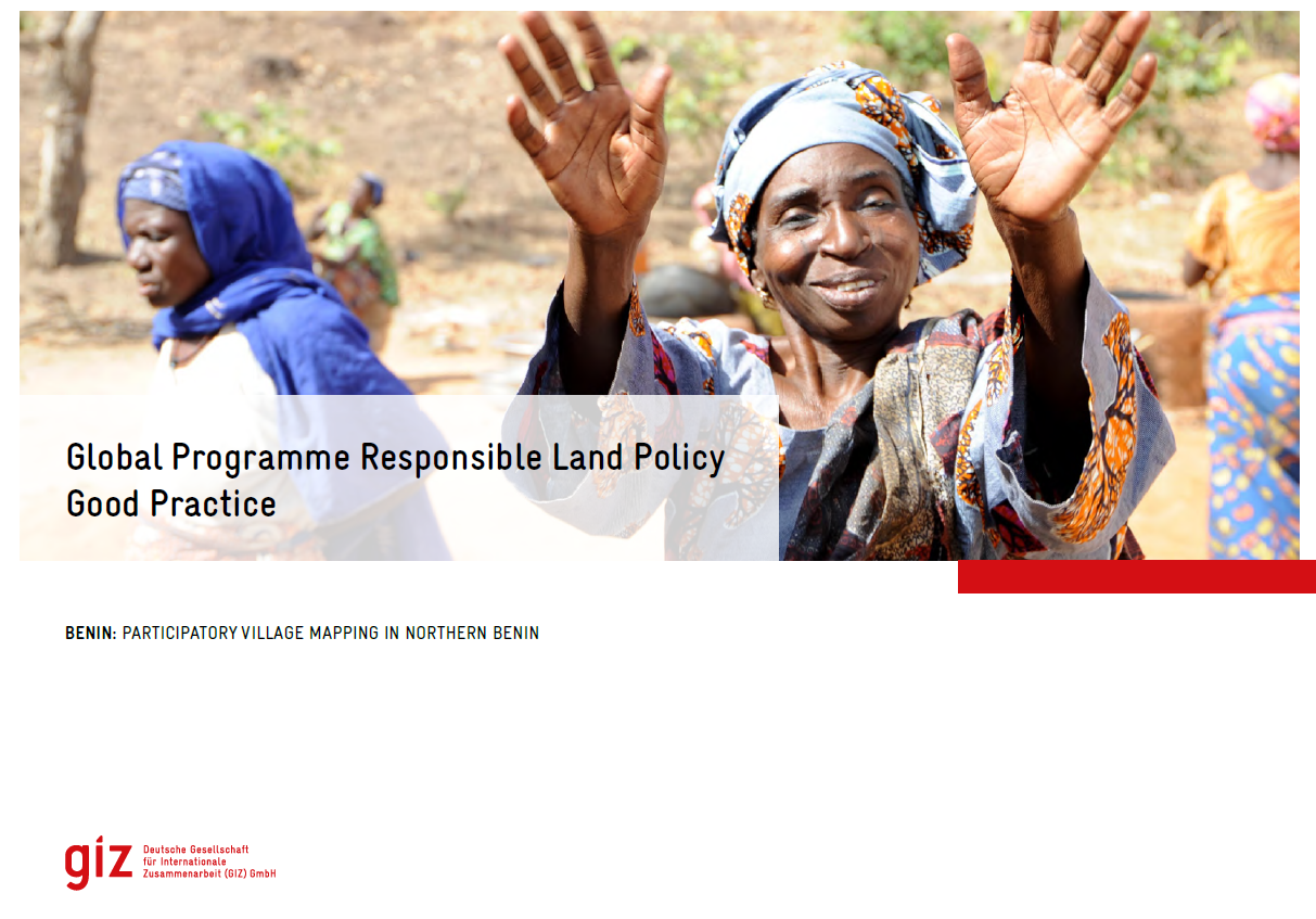
Face aux enjeux liés à la gouvernance foncière, plusieurs initiatives de cartographie participative ont été menées, au Bénin et ailleurs en Afrique. Une initiative de ce type est d’autant plus indispensable au Bénin, sachant que les limites des villages n’ont pas encore de reconnaissance administrative.

Articles et Livres
Documents de politique et mémoires
février 2021
Kenya

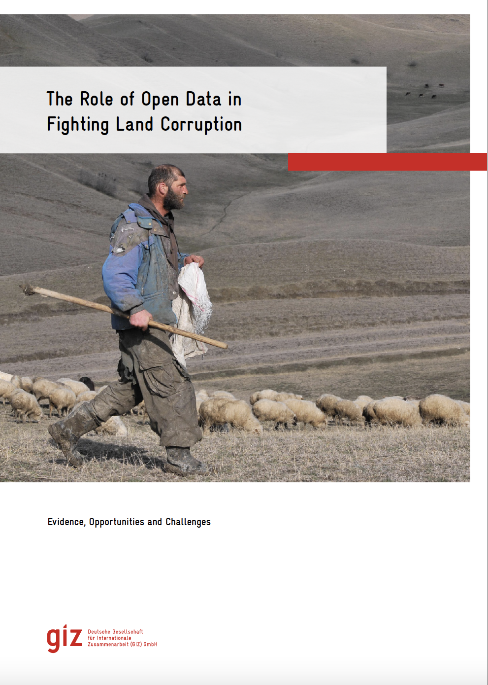
The Role of Open Data in Fighting Land Corruption
Rapports et recherches
janvier 2021
Global

The rapid progress in digital information and communication technologies  (ICTs) comes with both fresh opportunities and new challenges for different sectors and actors adopting the new solutions that become available over time.

Publication évaluée par des pairs
août 2016
Asie
Pakistan

Cadastral mapping in Pakistan is often sketched on paper or cloth and generally falls below cartographic standards, lacking details on coordinate systems, datum and directional information of parcel lines. Survey numbers for parcel identification also lack digital interoperability. Parcel measurements and ownership information are manually recorded in multiple separate registers.

Articles et Livres
janvier 2016
Lesotho

Maps are instrumental in the commodification of land and its exchange in markets. The critical cartog- raphy literature emphasizes the ‘‘power of maps” to (re)define property relations through their descrip- tive and prescriptive attributes. But how do maps work to achieve these outcomes?

Matériels institutionnels et promotionnels
octobre 2015
Kenya

The first set of the land laws were enacted in 2012 in line with the timelines outlined in the Constitution of Kenya 2010. In keeping with the spirit of the constitution, the Land Act, Land Registration Act and the national Land Commission Act respond to the requirements of Articles 60, 61, 62, 67 & 68 of the Constitution.

Rapports et recherches
février 2014
Inde

The Department of Revenue and Disaster Management, Government of Haryana deals with maintaining   and  updating   of   revenue   records,   transaction   by   way   of   sale,   mortgage, collection   of   revenue,   consolidation of   holdings,   etc.

Cadastral maps as a basis for developing street maps: examples from Australia and Brunei
Documents et rapports de conférence
novembre 2011
Brunéi Darussalam
Australie

Cadastral maps can be used as an effective initial set of data for new street maps in particular, and any type of large scale map project in general. This is due to a) a high degree of currency and accuracy of the digital cadastral database (DCDB); b) DCDB’s overall high level of reliability in terms of completeness; and c) the availability of DCDB to the public.

Partagez cette page