Topics and Regions
GIS Analyst and Training Coordinator for NASA's Applied Remote Sensing Training Program (ARSET)
Research and training on satellite remote sensing for air quality, hydrology and ecosystem monitoring.
Details
Location
Contributions
Displaying 21 - 30 of 45Using the UN Biodiversity Lab to Monitor the Pulse of the Planet
This training will focus on using remote sensing and geospatial data within the NASA-supported UN Biodiversity Lab (UNBL) to take action on national conservation and sustainable development priorities.
Earth Observations Toolkit for Sustainable Cities and Human Settlements
Cities around the world face numerous environmental hazards, such as extreme heat events, landslides, pollution, and flooding. Cities must monitor and address these hazards to reduce risks to, and enhance resilience of, their residents to climate change impacts.
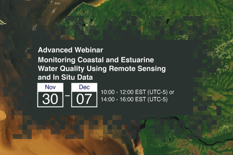
Monitoring Coastal and Estuarine Water Quality Using Remote Sensing and In Situ Data
This two-part, advanced webinar series is a follow-on to the training on coastal and estuarine water quality held in September 2021. It is a hands-on training with demos provided by instructors, followed by an hour of lab time for participants to use Level-1 MODIS and VIIRS data provided by the Ocean Biology DAAC (OB.DAAC) and SeaDAS and OCSSW software for deriving water quality parameters.
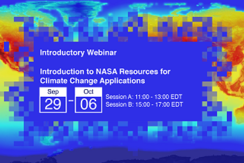
Introduction to NASA Resources for Climate Change Applications
Since the pre-industrial period, human activities are estimated to have increased Earth’s global average temperature by about 1.1 degree Celsius (IPCC, 2021), a number that is currently increasing by 0.2 degrees Celsius per decade (GISTEMP Team, 2021).
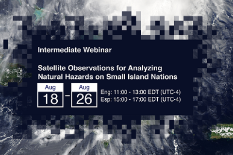
Satellite Observations for Analyzing Natural Hazards on Small Island Nations
Small island nations are highly vulnerable to climate change and natural disasters; among them hurricanes, cyclones, and other violent storms. These disasters can lead to severe flooding, landslides, and, in the worst cases, can result in the loss of life and property.
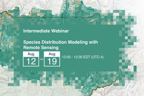
Species Distribution Modeling with Remote Sensing
Species Distribution Models (SDMs) play a critical role in biodiversity, conservation, and understanding the potential impacts to ecosystems under changing climate conditions. SDMs contextualize future scenarios based on known or projected ecological parameters and are the cornerstone for adaptive management planning around short- and long-term changes to complex landscapes.


