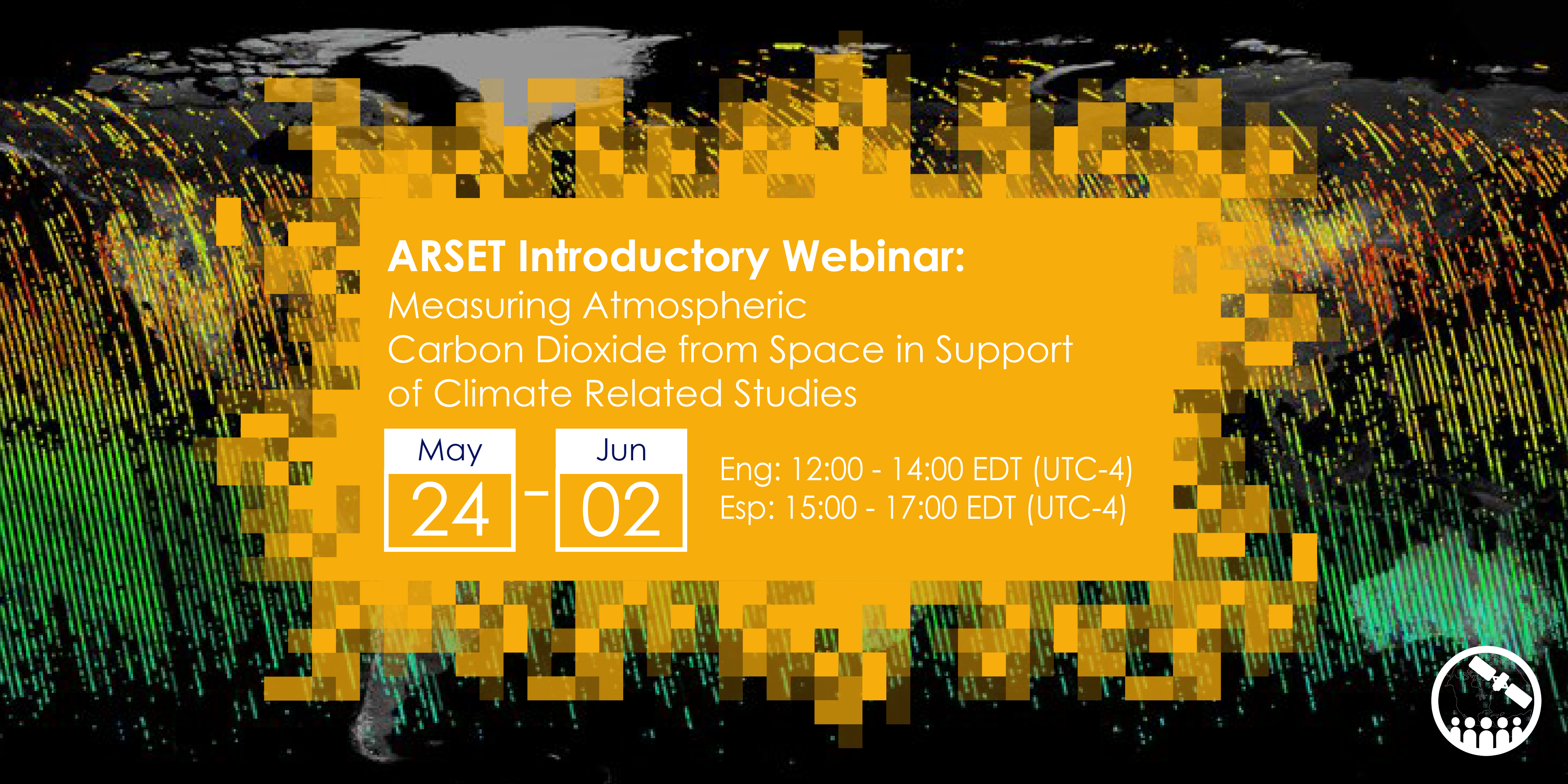
Measuring Atmospheric Carbon Dioxide from Space in Support of Climate Related Studies
CO2 monitoring from space is becoming an increasingly important and relevant capability in support of climate studies and to inform policy decisions. This introductory four-part webinar series will provide an overview of atmospheric carbon dioxide measurements from space with the OCO-2 and OCO-3 satellite missions. It will include a theoretical portion that will describe the instrument, how the measurement is made, and the characteristics, limitations and validation of the measurement. There will be a discussion of the type of climate studies that such measurements can support. There will also be a practical session where participants will learn how to access, search, filter and display XCO2 data using Jupyter Notebook.
Relevant UN Sustainable Development Goals:
- Goal 13: Take urgent action to combat climate change and its impacts
Course Dates: May 24, 26, 31, and June 2
Times and Registration Information:
English Session: 12:00-14:00 EDT (UTC-4): https://go.nasa.gov/3LgOnjL
Spanish Session: 15:00-17:00 EDT (UTC-4): https://go.nasa.gov/3vnJeRz
Learning Objectives: By the end of this training attendees will be able to:
- Understand the characteristics and limitations of CO2 measurements from space
- Understand the type of climate studies that these measurements can support
- Be able to open and visualize CO2 data from OCO-2
Audience: This webinar series is intended for local, regional, federal, and non-governmental organizations from climate agencies to use CO2 remote sensing data in climate studies.
Course Format: Four, 2 hour parts
Retweet option: https://twitter.com/NASAARSET/status/1519032047674830873
El monitoreo del CO2 desde el espacio es cada vez más importante y relevante en apoyo a los estudios climáticos y en la toma de decisiones relacionadas a políticas públicas. Durante esta capacitación introductoria de cuatro partes, presentaremos un resumen general de las mediciones satelitales del dióxido de carbono atmosférico con las misiones OCO-2 y OCO-3. La capacitación incluirá una parte teórica que describe el instrumento, cómo se hacen las mediciones, además de las características, limitaciones y validación de estas. También cubriremos los tipos de estudios climáticos que se pueden hacer con estas mediciones. Esta capacitación incluye una sesión práctica en la que los participantes aprenderán cómo acceder, filtrar y visualizar datos de XCO2 usando Jupyter Notebook.
Objetivos de Desarrollo Sostenible de la ONU Relevantes:
- Objetivo 13: Acción por el clima
Fechas: El 24, 26, y 31 dey mayo y el 2 de junio
Inscripciones:
español: 15h a 17h Horario Este de EE.UU (UTC-4): https://go.nasa.gov/3vnJeRz
inglés: 12h a 14h Horario Este de EE.UU. (UTC-4): https://go.nasa.gov/3LgOnjL
Objetivos de Aprendizaje: Al final de esta capacitación, las/los participantes podrán:
- Entender las características y limitaciones de las mediciones satelitales de XCO2
- Entender el tipo de estudios climáticos que se pueden llevar a cabo con estas mediciones
- Abrir y visualizar datos de XCO2 de OCO-2
Audiencia Meta: Esta capacitación en línea está dirigida a organismos y agencias locales, regionales, federales y no gubernamentales que estén enfocados en estudios climáticos para que utilicen datos satelitales de XCO2 en sus investigaciones.
Formato del Curso: Quatro partes de 2 horas

