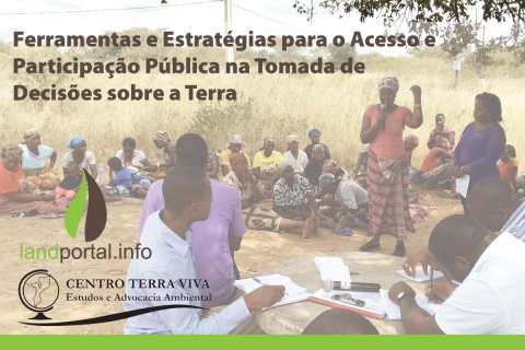
Ferramentas e Estratégias para o Acesso e Participação Pública na Tomada de Decisões sobre a Terra
Closed
13 Setembro 2017 to 13 Outubro 2017
Manuela Wing
Alda Salomao

Having secure land tenure, ensuring people's confidence in accessing, controlling and utilizing their land, is crucial for promoting sustainable land management practices. It also plays a key role in building resilience against the impacts of climate change, including extreme weather events, rising sea levels, and increased desertification due to higher temperatures.

You are invited to attend the MCC Land and Agricultural Economy Practice Group Webinar: Digital Systems for Land Administration, Part 2 on October 12, 8:00-9:30 AM (Washington DC time or GMT -4)
Global demand for timber, agricultural commodities, and extractives is a significant driver of deforestation worldwide. Transparent land-concessions data for these large-scale commercial activities are essential to understand drivers of forest loss, monitor environmental impacts of ongoing activities, and ensure efficient and sustainable allocation of land.