Using Earth Observations for Pre- and Post-Fire Monitoring
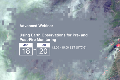
18 Enero 2022 - 20 Enero 2022

Tuesday, November 23rd, 2021
8:30 AM – 10:00 AM (Eastern Time)
Online via Zoom
This session will be interpreted in French and Spanish.

Este año, el Foro de la Tierra LAC se llevará a cabo del 12 al 15 de octubre y tendrá como tema medular los Objetivos de Desarrollo Sostenible (ODS) y el papel central que cumplen los derechos sobre la tierra para alcanzarlos.
3ème édition de la Conférence Intensification Durable 2021, Dakar :
ADAPTATION ET RESILIENCE DES AGRICULTURES EN AFRIQUE DE L’OUEST : INNOVATIONS AGROECOLOGIQUES ET INTEGRATION DES TERRITOIRES

Knowledge management and learning is at the heart of the LAND-at-scale program. For this reason, RVO is excited to announce a partnership with LANDac and the International Land Coalition for the implementation of an integrated knowledge management component as part of the program.
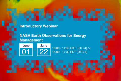
Energy impacts everything we do, from providing basic services such as cooking and cleaning to providing development opportunities and improving overall quality of life. However, energy management, through energy production, transmission, and distribution, is impacted by environmental and climate conditions, including weather patterns or extremes and climate change.
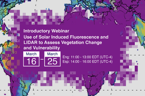
This introductory webinar series will cover the fundamentals of Solar Induced Fluorescence (SIF) and LIDAR, their applications, and an overview of different satellite data sources that are openly available. In addition, it will also include a step-by-step guide on how to access, open, and interpret SIF and LIDAR data.
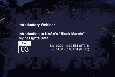
De noche, las imágenes satelitales capturan una señal únicamente humana – la iluminación artificial. La teledetección de luces nocturnas viene a ser una nueva fuente de datos para mejorar nuestro entendimiento de la interacción entre la sociedad y el medio ambiente.

All the UN member states have committed to achieve the Sustainable Development Targets by 2030. However, there is a clear gap between what is being committed and the delivery of the commitments. For example, in 2020 National Voluntary Reports only seven countries reported on specific land targets. No country reported on the all three key land targets.
Submissions Accepted for Presentation at the 2020 Conference on Land and Poverty
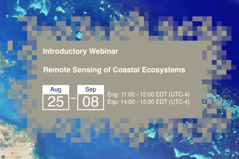
Coastal and marine ecosystems serve key roles for carbon storage, nutrients and materials cycling, as well as reservoirs of biodiversity. They also provide ecosystems services such as sustenance for millions of people, coastal protection against wave action, and recreational activities. Remote sensing of coastal and marine ecosystems is particularly challenging.