Aller au contenu principal

page search

Issuesgestion foncièreLandLibrary Resource
There are 8, 235 content items of different types and languages related to gestion foncière on the Land Portal.

gestion foncière

AGROVOC URI:

Displaying 2989 - 3000 of 5264

LAND REGISTRATION DATA STANDARDS, INTEROPERABILITY AND DATA ACCESS IN KENYA.

Journal Articles & Books
Février, 2017
Kenya

Land Registration and Administration in Kenya is currently operated on a multi-legal platform [UN 2013]. The Land Registration Act No. 3 of 2012 (LRA) was in that regard enacted to consolidate, harmonize and rationalize land registration goals; which are yet to be achieved. This is majorly because in as much as the 2012 statute repealed five out of the seven major land registration laws, they all remain in force under LRA’s transitional clauses. The Government of Kenya is making efforts to avail land registration information online via the e-citizen platform.

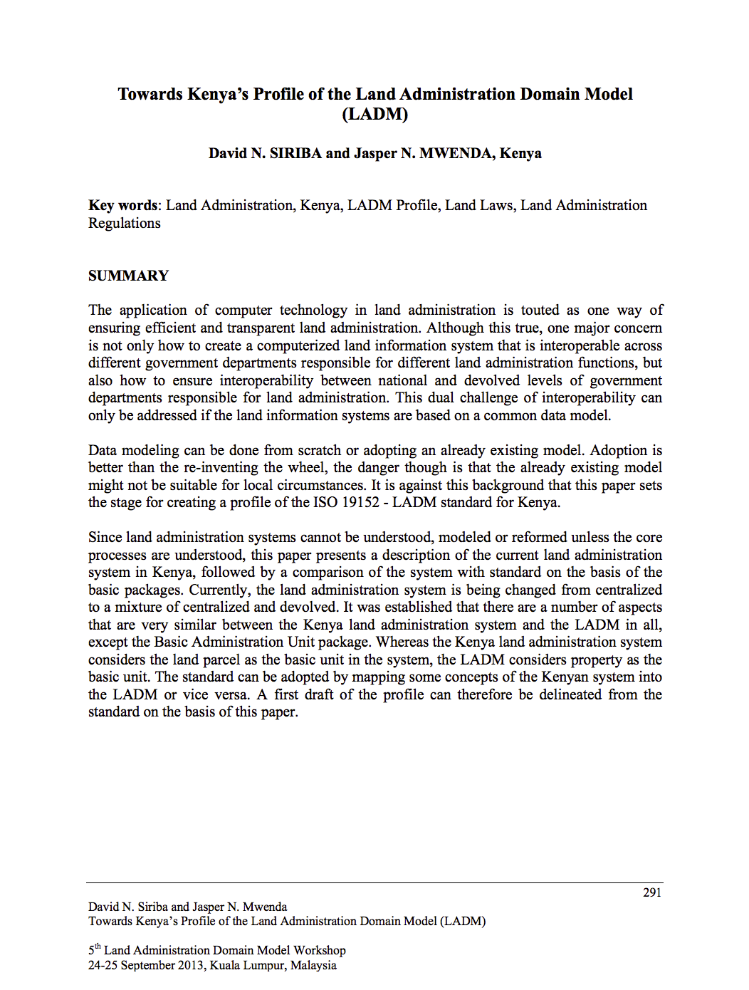
Towards Kenya’s Profile of the Land Administration Domain Model (LADM)

Journal Articles & Books
Août, 2014
Kenya

The application of computer technology in land administration is touted as one way of ensuring efficient and transparent land administration. Although this true, one major concern is not only how to create a computerized land information system that is interoperable across different government departments responsible for different land administration functions, but also how to ensure interoperability between national and devolved levels of government departments responsible for land administration.

KENYA URBANIZATION REVIEW

Manuals & Guidelines
Reports & Research
Janvier, 2016
Kenya

The story of urbanization in Kenya should be one of cautious optimism. As an emerging middle-income country with a growing share of its population living in urban areas and a governance shift toward devolution, the country could be on the verge of a major social and economic transformation. How it manages its urbanization and devolution processes will determine whether it can maximize the benefits of its transition to a middle-income country.

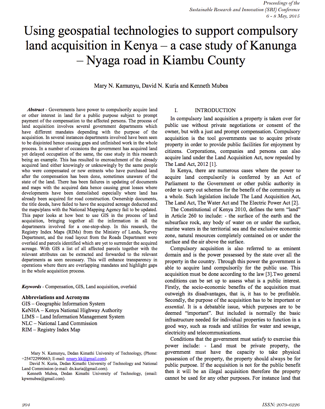
Using geospatial technologies to support compulsory land acquisition in Kenya

Journal Articles & Books
Avril, 2015
Kenya

Governments have power to compulsorily acquire land or other interest in land for a public purpose subject to prompt payment of the compensation to the affected persons. The process of land acquisition involves several government departments which have different mandates depending with the purpose of the acquisition. In several instances departments involved have been seen to be disjointed hence causing gaps and unfinished work in the whole process.

AN EVALUATION OF THE CADASTRAL SYSTEM IN KENYA AND A STRATEGY FOR ITS MODERNIZATION

Reports & Research
Juillet, 2013
Kenya

The Cadastral system in Kenya was established in 1903 to support land alienation for the white settlers who had come into the country in the early part of the 20th Century. In the last hundred years, the system has remained more or less the same, where land records are kept in paper format and majority of operations are carried out on a manual basis. The lack of a modern cadastral system has contributed to problems in land administration in the country.

The pastoralist’s parcel: towards better land tenure recognition and climate change response in Kenya’s dry lands

Journal Articles & Books
Avril, 2013
Kenya

Conventional notions of the ‘land parcel’ have been extended: previously unrecognized tenures including customary, nomadic, or communal interests are now incorporated into the concept. Technical tools including the Social Tenure Domain Model (STDM) enable these new understandings to be operationalized in land administration systems. The nomadic pastoralists of Kenya’s dry land regions illustrate where these new approaches can be applied.

The Structure of the Cadastral System in Kenya

Journal Articles & Books
Juin, 2013
Kenya

The cadastral system in Kenya was established in 1903 to cater for land alienation for the white settlers. Since then, a hundred years later, the structure of the system has remained more or less the same despite major changes in surveying technology. The government of Kenya has realized that the current structure is not conducive to economic demands of the 21st century and is interested in re-organizing the structure in line with the current constitutional dispensation and new paradigms in land management.

PREPARATION AND IMPLEMENTATION OF COUNTY SPATIAL PLANS

Manuals & Guidelines
Janvier, 2017
Kenya

The Constitution of Kenya 2010 apportions responsibility of planning to both National and County governments. The County Government Act, 2012 obligates county governments to prepare and implement County Integrated Development Plans (CIDP). The CIDPs are, according to the act, five year plans that will form the basis of annual budgetary allocation by the county governments.

Metodologia de Estudo dos Impactos dos MegaProjectos

Journal Articles & Books
Mai, 2016
Mozambique

Nas últimas décadas, tem-se verificado uma crescente procura de recursos energéticos, minerais e terra. No que respeita à terra (e água), o objectivo principal da procura é a produção de commodities e alimentos (sobretudo grãos), com sistemas de produção em grande escala de monoculturas, sob formas de subcontratação e pela acção de traders para abastecer o mercado internacional, em especial as grandes economias emergentes (“economias baleia”, assim designadas por consumirem muito – China e Índia).

Using Canonical Correlation Analysis to Identify Environmental Attitude Groups: Considerations for National Forest Planning in the Southwestern U.S

Journal Articles & Books
Décembre, 2014

As public land management agencies pursue region-specific resource management plans, with meaningful consideration of public attitudes and values, there is a need to characterize the complex mix of environmental attitudes in a diverse population. The contribution of this investigation is to make use of a unique household, mail/internet survey data set collected in 2007 in the Southwestern United States (Region 3 of the U.S. Forest Service).

Weeds and native plant species are negatively associated along grassland and kiwifruit land management intensity gradients

Journal Articles & Books
Décembre, 2014

Agroecosystems are increasingly recognized as both sources and sinks of non‐native weedy plant species as well as of native plant species, thus management of these systems has important implications for the composition of plant communities and landscape diversity. We quantified the distribution and abundance of both native and non‐native plant species along a habitat gradient representing four management zones: managed agroecosystem, the agroecosystem boundary, ecotone, and neighbouring native forest for two land uses: kiwifruit orchards and neighbouring grassland agroecosystems.