Aller au contenu principal

page search

Issuesindustrie minièreLandLibrary Resource
There are 1, 087 content items of different types and languages related to industrie minière on the Land Portal.

industrie minière

AGROVOC URI:

Displaying 37 - 48 of 365

Grazing as a post-mining land use: A conceptual model of the risk factors

Journal Articles & Books
Décembre, 2012
Australie

Driven principally by government regulation and societal expectations, mining companies around the world are seeking to mitigate the environmental impacts of mining through mined land rehabilitation programs. The ultimate goal of rehabilitation is to establish an acceptable and sustainable post-mining land use. Mining companies worldwide face the challenge of specifying just what a sustainable post-mining land use will be.

Cultural Landscape and Goldfield Heritage: Towards a Land Management Framework for the Historic South-West Pacific Gold Mining Landscapes

Journal Articles & Books
Décembre, 2011
Australie
Nouvelle-Zélande

This article investigates how cultural landscapes (especially the potentially limiting organically evolved landscape) can be used as a research framework to evaluate historical mining heritage sites in Australia and New Zealand. We argue that when mining heritage sites are read as evolved organic landscapes and linked to the surrounding forested and hedged farmland, the disruptive aspects of mining are masked. Cultural landscape is now a separate listing for World Heritage sites and includes associative and designed landscape as well as those that have evolved organically.

Physico-chemical analysis of surface and groundwater around Singrauli Coal Field, District Singrauli, Madhya Pradesh, India

Journal Articles & Books
Décembre, 2013
Inde

The present study was carried out in Singrauli area of the north India to know the water quality at selected sites. Physico-chemical parameters like pH, total dissolved solids (TDS), bicarbonate, hardness, calcium, magnesium, sodium, potassium, chloride, sulfate, copper, iron, cobalt, manganese, zinc, and chromium were analyzed in 27 water samples. Locations selected for sampling were based on the preliminary field survey carried out to understand the overall impact of mining and industrialization on the surface and groundwater resources of Singrauli.

Costs of abandoned coal mine reclamation and associated recreation benefits in Ohio

Journal Articles & Books
Décembre, 2012

Two hundred years of coal mining in Ohio have degraded land and water resources, imposing social costs on its citizens. An interdisciplinary approach employing hydrology, geographic information systems, and a recreation visitation function model, is used to estimate the damages from upstream coal mining to lakes in Ohio. The estimated recreational damages to five of the coal-mining-impacted lakes, using dissolved sulfate as coal-mining-impact indicator, amount to $21 Million per year.

Hardwood Tree Survival in Heavy Ground Cover on Reclaimed Land in West Virginia: Mowing and Ripping Effects

Journal Articles & Books
Décembre, 2009

Current West Virginia coal mining regulations emphasize reforestation as a preferred postmining land use on surface mined areas. Some mined sites reclaimed to pasture are being converted to forests. In the spring of 2001, we compared the establishment and growth of five hardwood tree species on a reclaimed West Virginaia surface mine with compacted soils and a heavy grass groundcover.

Mining in New Caledonia: environmental stakes and restoration opportunities

Journal Articles & Books
Décembre, 2015
Nouvelle-Calédonie

New Caledonia is a widely recognised marine and terrestrial biodiversity hot spot. However, this unique environment is under increasing anthropogenic pressure. Major threats are related to land cover change and include fire, urban sprawling and mining. Resulting habitat loss and fragmentation end up in serious erosion of the local biodiversity. Mining is of particular concern due to its economic significance for the island. Open cast mines were exploited there since 1873, and scraping out soil to access ores wipes out flora.

Comparison of NAIP orthophotography and RapidEye satellite imagery for mapping of mining and mine reclamation

Journal Articles & Books
Décembre, 2014
États-Unis d'Amérique

National Agriculture Imagery Program (NAIP) orthophotography is a potentially useful data source for land cover classification in the United States due to its nationwide and generally cloud-free coverage, low cost to the public, frequent update interval, and high spatial resolution. Nevertheless, there are challenges when working with NAIP imagery, especially regarding varying viewing geometry, radiometric normalization, and calibration.

Unique documentation, analysis of origin and development of an undrained depression in a subsidence basin caused by underground coal mining (Kozinec, Czech Republic)

Journal Articles & Books
Décembre, 2014
République tchèque

This article aims to explain and demonstrate the origin and development of a subsidence basin caused by coal mining as well as to point out important aspects of this phenomenon in engineering geology. Engineering geology needs to deal with a number of issues related to the origin and development of subsidence basins in areas affected by deep coal mining. An interesting case study from the Upper-Silesian Basin in the northeast of the Czech Republic near the Polish border is presented in this paper.

Research and Design of A Land Reclamation Supervisory Information System in A Mining Area

Journal Articles & Books
Décembre, 2015

Using an overall document data comprehensive analysis system and a structure analysis, this study preliminarily classified technical indicators, structured the regulatory index database on construction of land reclamation, and explicated the information operation process and main content of land reclamation. From the perspective of module design, this article describes the most significant details about information query and release process, engineering construction quality monitoring and control, the land reclamation engineering acceptance process, and post‐project evaluation.

Monitoring Spatial and Temporal Land Use/Cover Changes; a Case Study in Western Black Sea Region of Turkey

Journal Articles & Books
Décembre, 2013
Turquie

Rapid land use/land cover changes have taken place in many cities of Turkey. Land use and land cover changes are essential for wide range of applications. In this study, Landsat TM satellite imageries date from 1987, 1993, 2000 and 2010 were used to analyse temporal and spatial changes in the Western Black Sea Region of Turkey. Zonguldak and Eregli two largest and economic important cities which have been active coal mining and iron fabric areas.

The Mines and Minerals (Development and Regulation) Amendment Act, 2015

Legislation & Policies
Février, 2015
Inde

The Mines and Minerals (Development and Regulation) Amendment Act, 2015 is a legislation in India. It amended the Mines and Minerals (Regulation and Development) Act, 1957 and replaced the ordinance promulgated in January 2015.The bill seeks to bring transparency to the allocation of mining licence process by auctions.


The Mines and Minerals (Development and Regulation) Amendment Ordinance, 2015 was promulgated on 12 January 2015.The bill seeking to replace it was passed in the Lok Sabha on 3 March 2015 and in the Rajya Sabha on 20 March 2015.

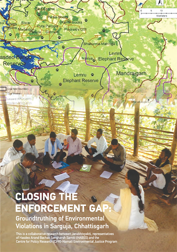
Closing the Enforcement Gap: Groundtruthing of Environmental Violations in Sarguja, Chhattisgarh

Policy Papers & Briefs
Juin, 2016
Inde

This document, titled Closing the Enforcement Gap: Groundtruthing of Environmental Violations in Sarguja, Chhattisgarh,is the second in the series of community led groundtruthing exercises carried out by the Centre for Policy Research (CPR)-Namati Environmental Justice Program in partnership with Janabhivyakti and Hasdeo Arand Bachao Sangharsh Samiti (HABSS).