Aller au contenu principal

page search

Displaying 25 - 36 of 2218

Revisiting Land Distribution Policies Among Land-Based Sectors In Tanzania

Décembre, 2021
Global

context and backgroundDespite the robustness of various land instruments and legal and institutional regulations on various sectors, Tanzania’s land distribution-related policy implementation and practice is facing numerous challenges. Tanzania is not only experiencing poor land conditions, but also poor land management and ineffective policy implementation. Areas of concern includes public policy actions on land conflicts; settlements and housing problems; and conflicting demand for land for mining, large scale agriculture, conservation, tourism, ranching and pastoral nomadism.

Caractérisation De La Dynamique Spatio-Temporelle De La Plaine Inondable Du Noun (Cameroun) À L’Aide D’Images Satellites

Décembre, 2021
Cameroon

In Cameroon, the pressure on wetlands, which cover nearly 70% of the national territory, appears to be increasing, whether for subsistence needs, firewood, grazing, logging or expansion of development projects. Currently, in terms of land use, forest has decreased by 619 km² and cultivated land has increased by 321 km². The surface area of degraded forests and land is estimated at around 12 million hectares, with a general trend towards an increase in the phenomenon due to both natural and anthropogenic factors.

Carbon footprints of forest degradation and deforestation by “Basic-Needs Populations”: A review

Décembre, 2021
Global

Forest conversion caused by subsistence or “basic needs populations” is difficult to track and measure. As the dynamics of these populations change over time, their carbon footprint impacts on natural resources also change. To reduce their potential negative impacts on forest resources, it is critical to understand what underlying causes influence their livelihoods practices. A systematic review was conducted to search for common basic needs livelihoods that result in forest loss and degradation, and thus in carbon footprint changes.

Gender, Deliberation, and Natural Resource Governance: Experimental Evidence from Malawi

Décembre, 2021
Malawi

Tropical deforestation is estimated to cause about one-quarter of anthropogenic carbon emissions, the second largest source of greenhouse gas emissions after fossil fuel combustion. Deforestation is also catastrophic for the communities that depend on tree harvesting for the livelihoods and who suffer the consequences of natural disasters linked to deforestation (e.g., mudslides). Avoiding the over-harvesting of communal forests in Malawi and other developing countries is particularly difficult because community members face enormous incentives to over-harvest.

Assessing potential locations for flood-based farming using satellite imagery: a case study of Afar region, Ethiopia

Décembre, 2021
Ethiopia

The dry lowlands of Ethiopia are seasonally affected by long periods of low rainfall and, coinciding with rainfall in the Amhara highlands, flood waters which flow onto the lowlands resulting in damage to landscapes and settlements. In an attempt to convert water from storm generated floods into productive use, this study proposes a methodology using remote sensing data and geographical information system tools to identify potential sites where flood spreading weirs may be installed and farming systems developed which produce food and fodder for poor rural communities.

Impact of landscape management scenarios on ecosystem service values in Central Ethiopia

Décembre, 2021
Global

This study aimed at modeling scenarios of future land use and land cover (LULC) change and estimating ecosystem service (ES) values for the year 2051 compared to 2021 in Central Ethiopia. The future LULC changes for the year 2051 were simulated for four scenarios, namely Business-as-Usual (BAU), Rapid Agricultural Expansion (RAE), Ecosystems Protection and Agricultural Development (EPAD) and Landscape Ecosystems Restoration and Conservation (LERC).

Ecosystem service valuation along landscape transformation in Central Ethiopia

Décembre, 2021
Global

Land degradation and discontinuation of ecosystem services (ES) are a common phe nomenon that causes socio-economic and environmental problems in Ethiopia. However, a dearth of information is known about how ES are changing from the past to the future with regard to land use land cover (LULC) changes. This study aimed at estimating the values of ES based on the past and future LULC changes in central Ethiopia.

Banana mapping in heterogenous smallholder farming systems using high-resolution remote sensing imagery and machine learning models with implications for banana bunchy top disease surveillance

Décembre, 2021
Global

Banana (and plantain, Musa spp.), in sub-Saharan Africa (SSA), is predominantly grown as a mixed crop by smallholder farmers in backyards and small farmlands, typically ranging from 0.2 ha to 3 ha. The crop is affected by several pests and diseases, including the invasive banana bunchy top virus (BBTV, genus Babuvirus), which is emerging as a major threat to banana production in SSA. The BBTV outbreak in West Africa was first recorded in the Benin Republic in 2010 and has spread to the adjoining territories of Nigeria and Togo.

Quantitative analysis of the impacts of climate and land-cover changes on urban flood runoffs: a case of Dar es Salaam, Tanzania

Journal Articles & Books
Novembre, 2021
Tanzania

Over the past half-century, the risk of urban flooding in Dar es Salaam has increased due to changes in land cover coupled with climatic changes. This paper aimed to quantify the impacts of climate and land-cover changes on the magnitudes and frequencies of flood runoffs in urban Dar es Salaam, Tanzania. A calibrated and validated SWAT rainfall-runoff model was used to generate flood hydrographs for the period 1969–2050 using historical rainfall data and projected rainfall based on the CORDEX-Africa regional climate model.

LDN in Armenia

Reports & Research
Novembre, 2021
Armenia

Armenia is a landlocked country in the South Caucasus. After gaining independence from the former Soviet Union, a very difficult socio- economic situation developed in Armenia, with a current high level of poverty. Land privatization has led to excessive land fragmentation and a small average farm size. Most of the country (87 percent) is mountainous with a vertical zonation of diverse landscapes. Armenia is hotspot of biodiversity in the region, facing human and climate induced land degradation. Water erosion affects most forest and croplands across the country.

Climate Risk Country Profile: Armenia

Reports & Research
Mai, 2021
Armenia

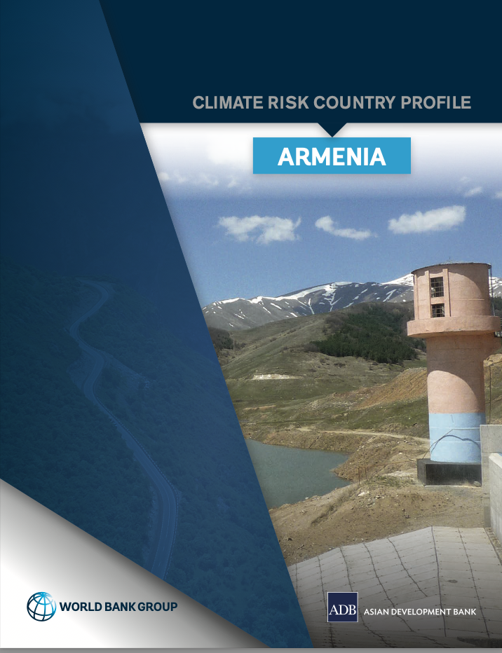
This publication synthesizes climate characteristics and projections, vulnerability to natural hazards, sectoral climate change impacts, and adaptation priorities in Armenia. It outlines rapid onset and long-term changes in key climate parameters, as well as the impact of these changes on communities, livelihoods, and economies—many of which are already underway. The publication is part of a series of climate risk country profiles published jointly by ADB and the World Bank Group.

The Relationship between Land Use and Climate Change: A Case Study of Nepal

Journal Articles & Books
Avril, 2021
Nepal

Land Use and Climate change are interrelated to each other. This change influences one another at various temporal and spatial scales; however, improper land uses are the primary causal factor on climate change. It studies relevant literature and Nepal’s case to assess the relationship between land use and climate change. Similarly focuses on how land-use impacts climate change and vice versa. In recent centuries land-use change significant effects on ecological variables and climate change.