Aller au contenu principal

page search

Displaying 193 - 204 of 586

Tweede externe audit van de Basisregistratie Kadaster : rapportage en verklaring over de kwaliteit van de BRK

Reports & Research
Décembre, 2015
Pays-Bas

De kadasterwet stelt dat er elke drie jaar een audit moet plaatsvinden op de kwaliteit van de authentieke gegevens van de Basisregistratie Kadaster In 2015 heeft Alterra voor de tweede maal deze audit uitgevoerd d.m.v. interviews en literatuurstudie. Dit rapport bevat de bevindingen en aanbevelingen van deze audit, inclusief een verklaring over de kwaliteit van de Basisregistratie Kadaster.

Application of GIS technologies for monitoring land resources in Kazakhstan

Conference Papers & Reports
Décembre, 2015
Kazakhstan
Latvia
Lithuania

Maintaining agriculture has always been a government level issue. The State is implementing a number of programs and projects, as well as increasing the amount of funding to improve the agro industrial complex and the condition of agricultural land. Kazakhstan having great land and resource potential should develop a strategy for the rational land use and protection of land.

Bulletin d'information sur les glossines et les trypanosomoses, Année 2015, Volume 38, Partie 1

Journal Articles & Books
Novembre, 2015
Kenya
Uganda
Zambia
Zimbabwe
Congo
Gabon
Burkina Faso
Mali
Niger
Nigeria
Togo
Canada
United States of America
France

Le Bulletin d’Information sur les Glossines et les Trypanosomoses a été créé pour diffuser les informations courantes sur tous les aspects de la recherche et de la lutte contre les glossines et la trypanosomose à l’intention des institutions et des chercheurs qui s’intéressent au problème de la trypanosomose africaine.

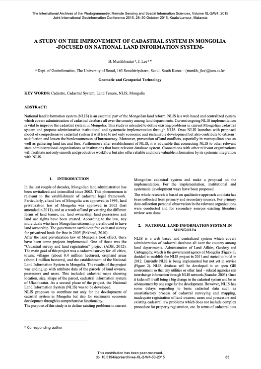
A Study on the Improvement of Cadastral System in Mongolia -Focused on National Land Information System

Peer-reviewed publication
Septembre, 2015
Mongolia

National land information system (NLIS) is an essential part of the Mongolian land reform. NLIS is a web based and centralized system which covers administration of cadastral database all over the country among land departments. Current ongoing NLIS implementation is vital to improve the cadastral system in Mongolia. This study is intended to define existing problems in current Mongolian cadastral system and propose administrative institutional and systematic implementation through NLIS.

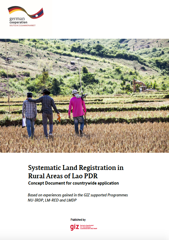
Systematic Land Registration in Rural Areas of Lao PDR Concept Document for countrywide application

Reports & Research
Septembre, 2015
Laos

In principle, all land in the Lao People's Democratic Republic (Lao PDR) belongs to the National Community, although citizens and legal entities have the right to receive permanent land use rights. These land use rights are certified in the form of land titles, which currently can be issued to individuals (persons, couples, joint ownership or legal entities), collectives and state land.

Zonificación Agroecológica de la Cuenca del Río Quequén Grande Provincia de Buenos Aires, Argentina)

Journal Articles & Books
Juillet, 2015
Argentine

La Región Pampeana Austral Argentina, manifiesta una fuerte tendencia a la expansión agrícola. Este trabajo pretende realizar una Zonificación Agroecológica (ZAE) de la Cuenca del río Quequén Grande (CrQG), diferenciando Unidades Agroecológicas (UAE) en dos períodos, 1988-1998 y 1998-2008. La metodología utilizada fue adaptada del concepto de zonas agroecológicas de la Organización de las Naciones Unidas para la Agricultura (FAO). Primeramente, mediante el uso de un Sistema de Información Geográfica, se caracterizaron Unidades Ecológicas (UEc) y Unidades de Agriculturización (UAg).

Landscape Epidemiology Modeling Using an Agent-Based Model and a Geographic Information System

Peer-reviewed publication
Juin, 2015

A landscape epidemiology modeling framework is presented which integrates the simulation outputs from an established spatial agent-based model (ABM) of malaria with a geographic information system (GIS). For a study area in Kenya, five landscape scenarios are constructed with varying coverage levels of two mosquito-control interventions. For each scenario, maps are presented to show the average distributions of three output indices obtained from the results of 750 simulation runs. Hot spot analysis is performed to detect statistically significant hot spots and cold spots.