Aller au contenu principal

page search

Displaying 421 - 432 of 8600

The economic value of tourism and recreation across a large protected area network

Peer-reviewed publication
Octobre, 2019
Australia

Environmental economists routinely use travel cost methods to value recreational services from protected areas, but a number of limitations remain. First, most travel cost studies focus on a single protected area or a small handful of protected area sites; value estimates that relate to a protected area network across a larger geographic area or jurisdiction are rare. Second, most protected area travel cost studies use on-site sampling techniques that bias value estimates towards those reported by frequent visitors.

Dynamics of Land Use and Land Cover Changes in Harare, Zimbabwe: A Case Study on the Linkage between Drivers and the Axis of Urban Expansion

Peer-reviewed publication
Octobre, 2019
Zimbabwe

With increasing population growth, the Harare Metropolitan Province has experienced accelerated land use and land cover (LULC) changes, influencing the city’s growth. This study aims to assess spatiotemporal urban LULC changes, the axis, and patterns of growth as well as drivers influencing urban growth over the past three decades in the Harare Metropolitan Province. The analysis was based on remotely sensed Landsat Thematic Mapper and Operational Land Imager data from 1984–2018, GIS application, and binary logistic regression.

Challenges for Monitoring the Extent and Land Use/Cover Changes in Monarch Butterflies’ Migratory Habitat across the United States and Mexico

Peer-reviewed publication
Octobre, 2019
Mexique
États-Unis d'Amérique

This paper presents a synopsis of the challenges and limitations presented by existing and emerging land use/land cover (LULC) digital data sets when used to analyze the extent, habitat quality, and LULC changes of the monarch (Danaus plexippus) migratory habitat across the United States of America (US) and Mexico. First, the characteristics, state of the knowledge, and issues related to this habitat are presented.

Valuing Environmental Amenities across Space: A Geographically Weighted Regression of Housing Preferences in Greenville County, SC

Peer-reviewed publication
Octobre, 2019
Global

As global consumption and development rates continue to grow, there will be persistent stress placed on public goods, namely environmental amenities. Urban sprawl and development places pressure on forested areas, as they are often displaced or degraded in the name of economic development. This is problematic because environmental amenities are valued by the public, but traditional market analysis typically obscures the value of these goods and services that are not explicitly traded in a market setting.

Evolution and Collapse of Ejidos in Mexico—To What Extent Is Communal Land Used for Urban Development?

Peer-reviewed publication
Octobre, 2019
Mexique
Allemagne

The ejido system, based on communal land in Mexico, was transformed to private ownership due to neoliberal trends in the 1990s. Based on the theory of stakeholders being agents of change, this study aimed to describe the land policies that changed the ejido system into private development to show how land tenure change is shaping urban growth. To demonstrate this, municipalities of San Andrés Cholula and Santa Clara Ocoyucan were selected as case studies.

Open Land Data in the Fight Against Corruption - Discussion Report

Reports & Research
Septembre, 2019
Global

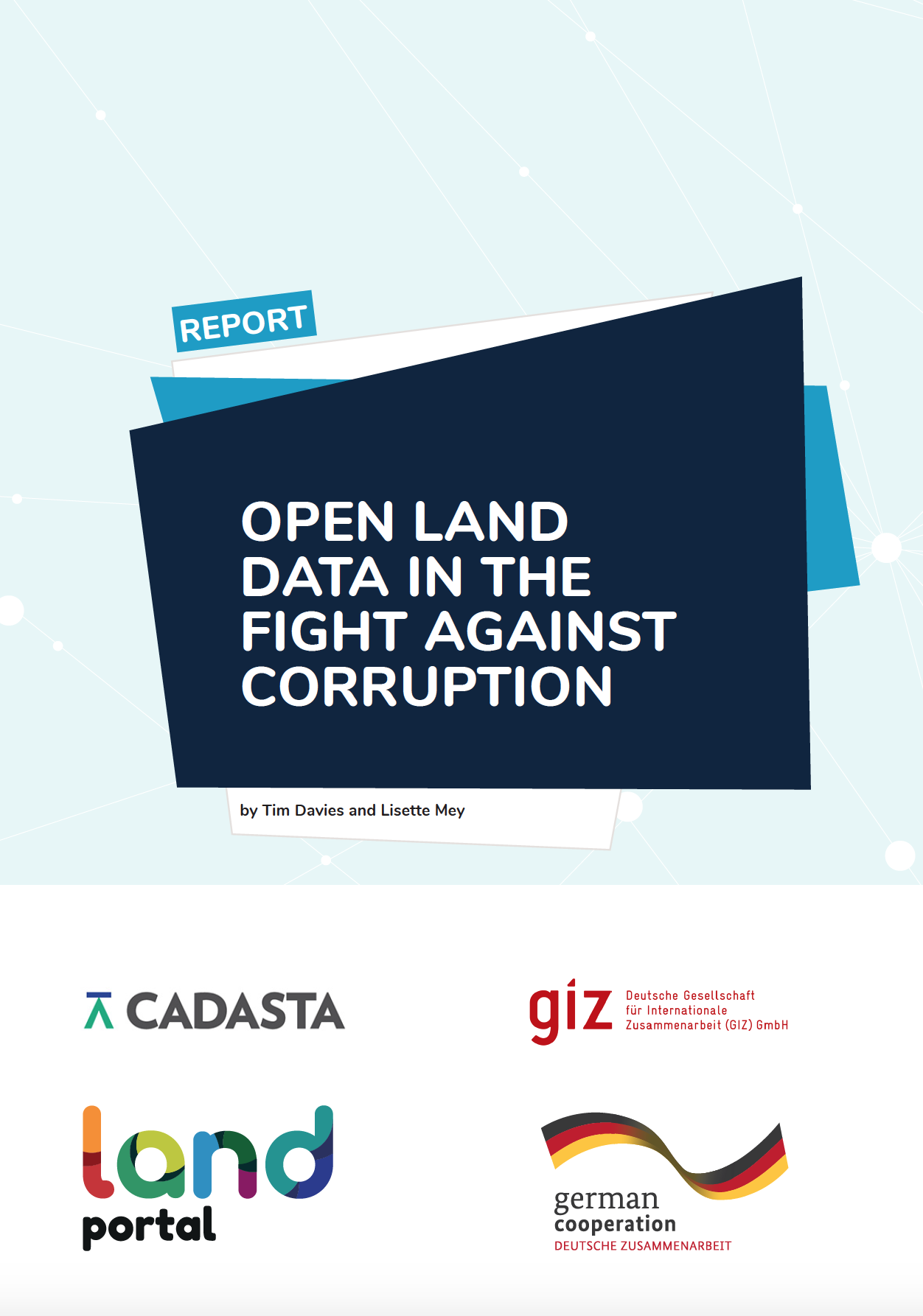
From 9th to 29th September 2019, Land Portal, Cadasta and GIZ co-hosted an online discussion focussing on the role of open land data in the fight against corruption. Drawing on over 100 contributions from 48 contributors covering six continents, the dialogue explored the opportunities and challenges for the use of open data as a tool to address land-related corruption. 

What actions are needed to address the legal constraints facing women and vulnerable groups in securing their land rights?

Reports & Research
Septembre, 2019
Ethiopia

This summary assesses the gaps in the provision;understanding and implementation of laws/articles and their impact on women and VGs with respect to land use rights and provides a strategy to overcome these legal constraints that affect women and VGs land rights security..This resource was published in the frame of the Land Investment for Transformation (LIFT) Programme. For more information;please check: https://landportal.org/community/projects/land-investment-transformation...

Predicting Urban Expansion and Urban Land Use Changes in Nakhon Ratchasima City Using a CA-Markov Model under Two Different Scenarios

Peer-reviewed publication
Septembre, 2019
Global

This study focused on the prediction of land-use changes in Nakhon Ratchasima city using a CA-Markov Model with GIS. Satellite images taken by Landsat-5 (1992), Landsat-7 (2002) and THEOS (2016) were used to predict land use in 2026. In 1992, the most proportion of land usage was built-up areas (47.76%) and followed by green areas (37.45%), bare lands (13.19%), and water bodies (1.60%), respectively. In 2002, the land use comprised built-up areas (56.04%), green areas (35.52%), bare lands (4.80%) and water bodies (3.63%).

Using Farmer Decision Rules for Mapping Historical Land Use Change Patterns from 1954 to 2007 in Rural Northwestern Vietnam

Peer-reviewed publication
Septembre, 2019
Viet Nam

The present study revealed how local socioecological knowledge elucidated during participatory rural appraisals and historical remote sensing data can be combined for analyzing land use change patterns from 1954 to 2007 in northwestern Vietnam. The developed approach integrated farmer decision rules on cropping preferences and location, visual and supervised classification methods, and qualitative information obtained during various forms of participatory appraisals.

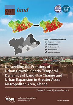
Unravelling the Frontiers of Urban Growth: Spatio-Temporal Dynamics of Land-Use Change and Urban Expansion in Greater Accra Metropolitan Area, Ghana

Peer-reviewed publication
Septembre, 2019
Ghana

This study analyzed and assessed spatio-temporal dynamics of land-use change (LUC) and urban expansion (UE) within the Greater Accra Metropolitan Area (GAMA) of Ghana. This region serves as a case to illustrate how a major economic hub and political core area is experiencing massive spatial transformations, resulting in uneven geographies of urban land expansion. Quickbird/Worldview-2 images for the years 2008 and 2017 were segmented and classified to produce LUC maps. LUC and UE were analyzed by post-classification change detection and spatial metrics, respectively.

Flooding and Land Use Change in Southeast Sulawesi, Indonesia

Peer-reviewed publication
Septembre, 2019
Indonésie
Asia du sud-est

Flooding is a routine occurrence throughout much of the monsoonal tropics. Despite well-developed repertoires of response, agrarian societies have been ‘double exposed’ to intensifying climate change and agro-industrialization over the past several decades, often in ways that alter both the regularity of flood events and individual and community capacity for response.