Aller au contenu principal

page search

Displaying 49 - 60 of 149

Changing ecosystem services are increasing people's vulnerability in semi-arid regions : an ASSAR cross-regional insight

Policy Papers & Briefs
Octobre, 2019
Botswana
Ethiopia
Ghana
India
Kenya
Mali
Namibia
Sub-Saharan Africa

Adaptation at Scale in Semi-Arid Regions (ASSAR) researchers collaborated to understand the complex changes and patterns in semi-arid vegetation and socio-ecological systems. Ecosystems were mapped using a cross-regional coarse scale study, relying on climate data to capture global and regional trends. Finest spatial scale mapping relied on LANDSAT to show changes in land use and land cover. Details of observed changes are provided for Botswana, Namibia, Kenya, Ethiopia, Mali, Ghana, West Africa, and India. Links to referenced studies are embedded in the report.

Encouraging better land use practices among agricultural businesses in Laos

Reports & Research
Septembre, 2019
Asia
South-Eastern Asia
Laos

For more than a decade, the government of Lao PDR has promoted commercial uses of agricultural land by private investors. While investment in land has enormous potential to promote Laos’ economic development, benefits have been unevenly distributed across society. Some business practices affecting land use have also been associated with displacement, environmental degradation and land disputes.

Complementary land use in the Richmond River catchment: Evaluating economic and environmental benefits

Peer-reviewed publication
Août, 2019
Australie

Agricultural land uses can contribute to land degradation, water quality decline, and loss of ecosystem function and biodiversity in the surrounding catchment. Trees can assist in catchment management, and re-afforestation strategies have been implemented in an effort to mitigate agricultural impacts and improve degraded land and waterways worldwide. Re-afforestation strategies often target private land, and their success relies on landholder participation.

Attributing Changes in Streamflow to Land Use and Climate Change for 472 Catchments in Australia and the United States

Journal Articles & Books
Mai, 2019
Australia
United States of America

A data-based method to distinguish climate and land use change impacts on streamflow has been previously developed and needs further evaluation through a large sample study. This study aims to apply the method to a large sample set of 472 catchments in the United States and Australia. The method calculates the water and energy budget of a catchment which can be translated to climate and land use induced changes in streamflow between two periods: a pre-change and post-change period.

SPATIAL SIMULATION BASED ON GEOGRAPHIC INFORMATION SYSTEM (GIS) AND CELLULAR AUTOMATA (CA) FOR LAND USE CHANGE MODELING IN SINGARAJA CITY AND ITS SURROUNDING AREA

Reports & Research
Mai, 2019
Indonesia
India

Singaraja is the second largest city after Denpasar in Bali. The magnitude of the potential of the region both trade and services, agriculture and tourism in Buleleng Regency has given a very broad impact not only on the economy but also the use of land. Economic development in the city of Singaraja cause some effects such as population growth, an increasing number of facilities (social, economic, health, and others), as well as changes in land use. Changes in land use have a serious impact on the environment in the city of Singaraja.

Climate, Land Use Change and Local Adaptation Strategies in Ecological Areas. Case of Miwaleni River Valley

Peer-reviewed publication
Avril, 2019
Afrique

Climate change issues are contemporary global phenomena which affect the largest part of the world in different ways. This paper explores how local communities living in sensitive ecological areas, particularly in river valleys, respond to and adapt to climate change. By employing a qualitative research approach, findings have indicated that heavy rainfall and prolonged droughts coupled with population increase have led to land use changes and loss of biodiversity in the river valley.

Beyond the urban-rural dichotomy: Towards a more nuanced analysis of changes in built-up land

Journal Articles & Books
Mars, 2019

Urban land and rural land are typically represented as homogenous and mutually exclusive classes in land change analyses. As a result, differences in urban land use intensity, as well as mosaic landscapes combining urban and rural land uses are not represented. In this study we explore the distribution of urban land and urban land use intensity in Europe and the changes therein. Specifically, we analyze the distribution of built-up land within pixels of 1 km2. At that resolution we find that most built-up land is distributed over predominantly non-built-up pixels.

Grey areas in green grabbing : subtle and indirect interconnections between climate change politics and land grabs and their implications for research

Peer-reviewed publication
Mars, 2019
Cambodia
Myanmar

Climate change and green grabbing/resource grabbing together call for nuanced understanding of governance imperatives, and for constructing a knowledge base appropriate to political intervention. This paper offers preliminary ways in which interconnections can be seen and understood, and their implications for research and politics explored. It concludes by way of a preliminary discussion of the notion of ‘agrarian climate justice’ as a possible framework for formal governance or political activism relevant to tackling grey area interconnections.

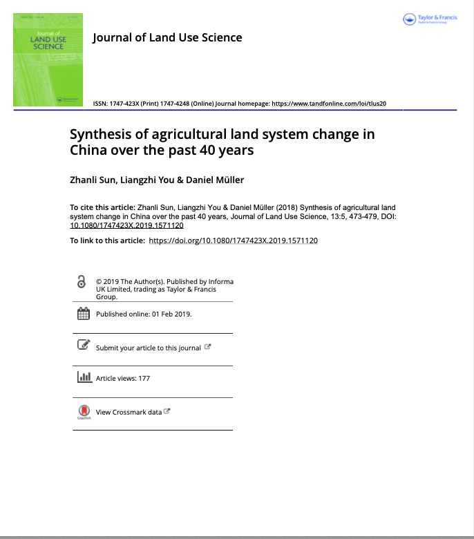
Synthesis of agricultural land system change in China over the past 40 years

Peer-reviewed publication
Janvier, 2019
China

In summary, China presents a particularly intriguing case for the study of land system dynamics with its spatial patterns of cropland and crops, crop structure and diversity, land transfer and consolidation, and land use intensity changes against the backdrop of its rapid socio-economic transformation, globalization, and environmental challenges. Moreover, after 40 years since the commencement of China’s Economic Reform and the de-collectivization of agriculture, it is a good time to review and reflect how China’s agricultural land systems have been transformed.

Impacts of strict cropland protection on water yield: A case study of Wuhan, China

Journal Articles & Books
Décembre, 2018

Land use and land cover change is a critical factor of ecosystem services, while water yield plays a vital role in sustainable development. The impact of urban expansion on water yield has long been discussed, but water yield change resulting from cropland protection is seldom concerned. Therefore, this paper aims to investigate the impacts of cropland protection on water yield by comparing the water yield in two cropland protection scenarios (i.e., Strict Cropland Protection scenario and No Cropland Protection scenario).