
Land cover generated from satellite images is widely used in many real-world applications such as natural resource management, forest type mapping, hydrological modeling, crop monitoring, regional planning, transportation planning, public information services, and so on. Moreover, land cover…

The food security crisis, international "land grabs,? and new markets for environmental services have drawn renewed attention to the role of natural resource competition in the livelihoods of the rural poor. While significant empirical research has focused on diagnosing the links between…
Over the past several decades, DRP Korea has suffered from extensive land degradation leading to the loss of livelihoods causing increased food insecurity. To restore degraded sloping land, the Ministry of Land and Environmental Protection of DPR of Korea (MoLEP), the Swiss Agency for…
In regions where water is in short supply, wastewater treatment offers the possibility for the efficient removal of unwanted pollutants and germs so that the water may be used for irrigation. Water scarcity is an old problem in Palestine because of various geographical settings and political…
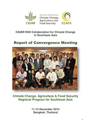
The CCAFS Regional Program for Southeast Asia (CCAFS-SEA) organized a convergence meeting involving CGIAR CCAFS focal persons and selected partners on 11-13 December 2013 in Bangkok, Thailand. About 24 participants from collaborating CGIAR Consortium Centers (Bioversity, CIAT, CIP, ICRISAT,…
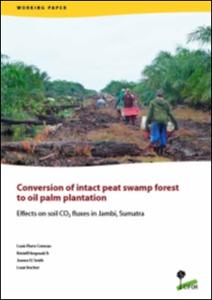
Tropical peatlands are among the largest pedologic pools of organic carbon. This study compared soil CO2 fluxes in an intact peat swamp forest, a transitional logged drained forest and an oil palm plantation located on the same alluvial peat plain (peat dome) in Jambi, Sumatra, Indonesia.…
The Ganges Basin is a part of the Ganges-Brahmaputra-Meghna (GBM) River Basin and is one of the most populated (600 million) river basins in the world. This study focuses on the Eastern Ganges Basin (EGB) and covers India (Bihar, Jharkhand and West Bengal), Bangladesh and the Nepal Terai.…
Through networking of partners by way of a consortium approach, the project has demonstrated that 50% of chemical fertilizers can be substituted with the locally-produced vermicompost that the farmers themselves make. In Madhya Pradesh 800 trials were conducted, and a 1000 in Rajasthan, during…
This meta-synthesis of national climate change adaptation plans, policies and processes spans twelve countries at various stages of adaptation planning and implementation, in three priority CCAFS regions: West Africa (Burkina Faso, Ghana, Mali, Niger, Se?negal), East Africa (Ethiopia, Kenya,…
This article highlights the continued significance of pre-capitalist formations in shaping the trajectory of economic transition in peripheral regions, even in an era of neo-liberal globalisation. There is a tendency for Marxist scholars to assume the inevitable “dominance” of capitalism over…
Soil and water are the most important resources in the watershed. The alterations on the quantity and quality of these resources do not only have on-site impacts, but are experienced by off-site communities as well. To assess the material transfer and identify critical sub-basins in the Layawan…

The 2013 Global Hunger Index (GHI) report-the eighth in an annual series- presents a multidimensional measure of national, regional, and global hunger. It shows that the world has made some progress in reducing hunger since 1990, but still has far to go. The 2013 GHI report focuses on resilience…