
La Universidad Nacional Autónoma de México (UNAM) es una universidad pública mexicana. Es una de las mejores universidades del mundo dado su extenso trabajo académico. En 2017 y 2012 fue reconocida como una de las mejores 100 universidades mundialmente,y también una de las más activas en materia artística y tecnológica. Con 342 542 alumnos, es la más grande del país, de América Latina (2016) y con uno de los campus más grandes del mundo. En el 2016 aceptó solamente al 8% de los aspirantes para ingresar al nivel superior.
Fuente: Wikipedia
Members:
Resources
Displaying 1 - 5 of 10Analysis of High Temporal Resolution Land Use/Land Cover Trajectories
In this study, methods, originally developed to assess life course trajectories, are explored in order to evaluate land change through the analysis of sequences of land use/cover. Annual land cover maps which describe land use/land cover change for the 1985–2017 period for a large region in Northeast Brazil were analyzed. The most frequent sequences, the entropy and the turbulence of the land trajectories, and the average time of permanence were computed. Clusters of similar sequences were determined using different dissimilarity measures.
La Jornada en el Campo - Edición América Campesina
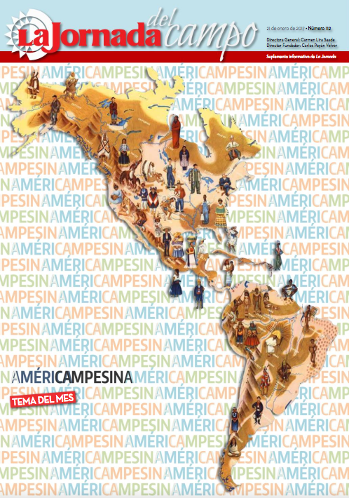
Este número de La Jornada del Campo contiene artículos relativos al campo del continente Americano; los autores son expertos de los diversos países.
El acceso de las mujeres a la tierra
Por distintas causas, en América Latina existen menos probabilidades de que las mujeres sean propietarias de la tierra. Guatemala no es la excepción.
Weather forecast sensitivity to changes in urban land covers using the WRF model for central México

The impact on temperature of the urban growth in central Mexico from 1993 to 2009 and the sensitivity of forecast to change in land cover are studied using high resolution numerical simulations. The mesoscale atmospheric Weather Research and Forecasting model (WRF) uses Global Land Cover Characteristics (GLCC) data created from NOAA-AVHRR satellite images from 1992 and 1993.
Assessing current and potential patterns of 16 forest species driven by climate change scenarios in México
In order to analyze the impacts of climate change on species endowed with forestry relevance, the present study practiced simulations in the potential distribution of 16 forest species inside the Mexican Republic’s temperate, tropical, and semiarid zones. For the examination of this effect we pictured the base scenario,as well as three models of climate change (GFDL-CM-2.0, MPI-ECHAM-5, HADGEM-1) that would take place under the socio-economic scenarios A2 and B2 by 2050.