Location
Agropolis International, formerly called Agropolis, is an association that was founded in 1986 by Louis Malassis and research and higher education institutes. It pools the scientific skills and expertise of the French Occitanie region in fields related to agriculture, food, biodiversity and environment. Its activities are oriented towards fostering the development of tropical and Mediterranean areas.
This platform is open to the development of the Mediterranean and Southern countries; it also gathers a large range of stakeholders and partners of the economic development and from the civil society.
Members:
Resources
Displaying 1 - 2 of 2Quantification of Land Degradation and Productivity of Agro-Ecosystems under Changing Climate and Land Use
Agro-ecosystems in dry areas are sensitive to changes in climate and land use. The productivities of these agro-ecosystems are highly variable in both spatial and temporal scales. Accurate and up-to-date information on these production systems at farmscape to landscape scales are important for understanding the food security
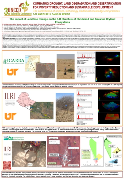
The Impact of Land Use on the 3D Structure of Vegetation and Soils in a Cold Desert Ecosystem in Jordan
The University of Tennessee’s Dept. of Geography in collaboration with ICARDA, ILRI, USDA-ARS, and Cornell University’s Dept. of Natural Resources collected TLS data in the cold desert shrub-steppe ecosystem of the East Bank Plateau of Amman, Jordan and in mixed Acacia-Commiphora woodlands of Borana Plateau in southern Ethiopia. ICARDA and ILRI maintain these research sites and conduct field studies in Jordan and Ethiopia, respectively. The study plots are the size of a Landsat pixel (30-m X 30-m) to link local scale TLS to regional scale satellite imagery.


