Resources
Displaying 1666 - 1670 of 2258Farms or Forests? Understanding and Mapping Shifting Cultivation Using the Case Study of West Garo Hills, India
Attempts to study shifting cultivation landscapes are fundamentally impeded by the difficulty in mapping and distinguishing shifting cultivation, settled farms and forests. There are foundational challenges in defining shifting cultivation and its constituent land-covers and land-uses, conceptualizing a suitable mapping framework, and identifying consequent methodological specifications.
Identifying Opportunities to Conserve Farm Ponds on Private Lands: Integration of Social, Ecological, and Historical Data
In some landscapes, effective conservation of wildlife habitat requires extending beyond the boundaries of reserves and addressing stewardship of private lands. This approach could be especially valuable for the conservation of farm ponds, which are abundant and serve key agricultural functions on private lands. Though farm ponds also provide wildlife habitat, little is known about how they are managed or how values and beliefs of their owners relate to their quality.
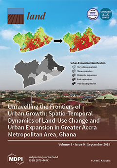
Unravelling the Frontiers of Urban Growth: Spatio-Temporal Dynamics of Land-Use Change and Urban Expansion in Greater Accra Metropolitan Area, Ghana
This study analyzed and assessed spatio-temporal dynamics of land-use change (LUC) and urban expansion (UE) within the Greater Accra Metropolitan Area (GAMA) of Ghana. This region serves as a case to illustrate how a major economic hub and political core area is experiencing massive spatial transformations, resulting in uneven geographies of urban land expansion. Quickbird/Worldview-2 images for the years 2008 and 2017 were segmented and classified to produce LUC maps. LUC and UE were analyzed by post-classification change detection and spatial metrics, respectively.
Predicting Urban Expansion and Urban Land Use Changes in Nakhon Ratchasima City Using a CA-Markov Model under Two Different Scenarios
This study focused on the prediction of land-use changes in Nakhon Ratchasima city using a CA-Markov Model with GIS. Satellite images taken by Landsat-5 (1992), Landsat-7 (2002) and THEOS (2016) were used to predict land use in 2026. In 1992, the most proportion of land usage was built-up areas (47.76%) and followed by green areas (37.45%), bare lands (13.19%), and water bodies (1.60%), respectively. In 2002, the land use comprised built-up areas (56.04%), green areas (35.52%), bare lands (4.80%) and water bodies (3.63%).
Land and Landscape; Linking Use, Experience and Property Development in Urban Areas
This article brings together the concepts of land and landscape, tightly linked in urban transformative situations, but rarely used for the purpose to strengthen strategic planning for sustainability. They are investigated as a combined base for land use deliberations, in early phases of planning processes, in practices of different scale, especially in a European context, drawing on planning and landscape policies generally agreed upon, as well as the UN Sustainable Development Goals.