Topics and Regions
GIS Analyst and Training Coordinator for NASA's Applied Remote Sensing Training Program (ARSET)
Research and training on satellite remote sensing for air quality, hydrology and ecosystem monitoring.
Details
Location
Contributions
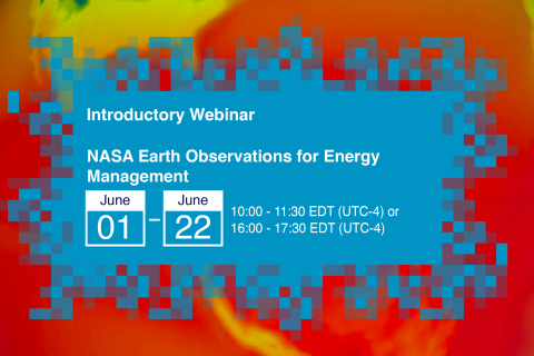
Displaying 31 - 40 of 45NASA Earth Observations for Energy Management
Energy impacts everything we do, from providing basic services such as cooking and cleaning to providing development opportunities and improving overall quality of life. However, energy management, through energy production, transmission, and distribution, is impacted by environmental and climate conditions, including weather patterns or extremes and climate change.
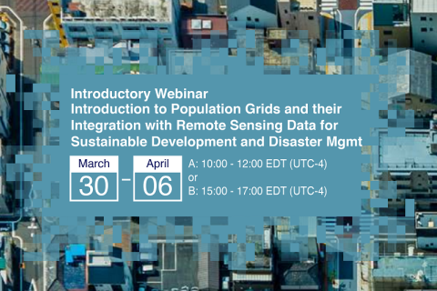
Introduction to Population Grids and their Integration with Remote Sensing Data for Sustainable Development and Disaster Management
NASA’s Applied Remote Sensing Training Program, ARSET has opened a new open, online webinar series: Introduction to Population Grids and their Integration with Remote Sensing Data for Sustainable Development and Disaster Management
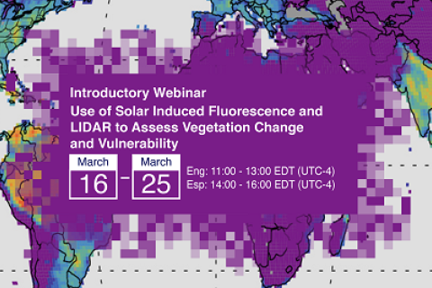
Use of Solar Induced Fluorescence and LIDAR to Assess Vegetation Change and Vulnerability
This introductory webinar series will cover the fundamentals of Solar Induced Fluorescence (SIF) and LIDAR, their applications, and an overview of different satellite data sources that are openly available. In addition, it will also include a step-by-step guide on how to access, open, and interpret SIF and LIDAR data.
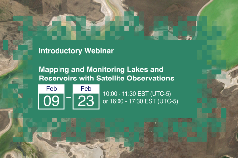
Mapping and Monitoring Lakes and Reservoirs with Satellite Observations
Natural lakes and man-made reservoirs are a part of Earth’s surface water. Freshwater lakes and reservoirs are used for drinking water, fishing, and recreational activities. Aside from the aesthetic and scenic value added by their presence, lakes support surrounding plant and aquatic ecosystems and wildlife.
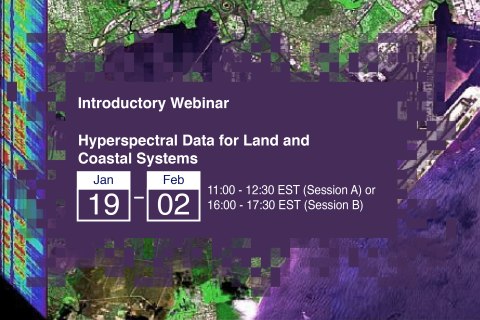
Hyperspectral Data for Land and Coastal Systems
Hyperspectral data presents a unique opportunity to characterize specific vegetation types and biogeochemical processes across the land and oceans. Applications of hyperspectral data include plant species identification, invasive species management, assessment of phytoplankton functional types, mapping of wetlands and shallow benthic communities, and detection of harmful algal blooms (HABs).
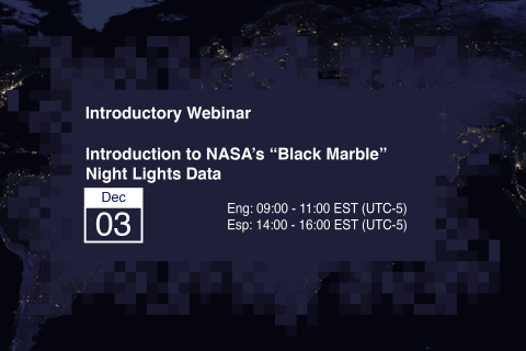
Introduction to NASA’s "Black Marble" Night Lights Data
At night, satellite images of Earth capture a uniquely human signal - artificial lighting. Remotely-sensed lights at night provide a new data source for improving our understanding of interactions between human systems and the environment.
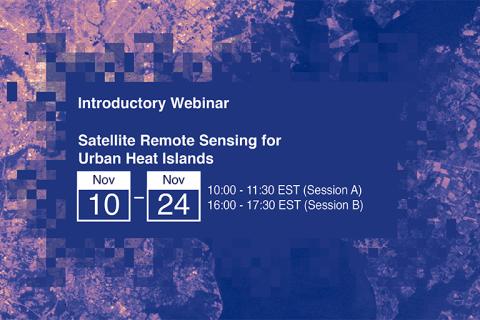
Satellite Remote Sensing for Urban Heat Islands
NASA’s Applied Remote Sensing Training Program (ARSET) has opened registration for a new open, online webinar series: Satellite Remote Sensing for Urban Heat Islands.
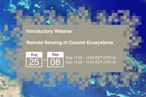
Remote Sensing of Coastal Ecosystems
Coastal and marine ecosystems serve key roles for carbon storage, nutrients and materials cycling, as well as reservoirs of biodiversity. They also provide ecosystems services such as sustenance for millions of people, coastal protection against wave action, and recreational activities. Remote sensing of coastal and marine ecosystems is particularly challenging.

