Focal point
Location
The Journal of Land Administration in Eastern Africa (JLAEA) is publication of the Land Administration Unit that was set up at ARU in November 2009. JLAEA mirrors the aspirations of the Land Administration Unit at Ardhi University (ARU) whose mission is to ensure quality education and training, research, scientific publications, information dissemination, documentation and public services through integrated cross disciplinary team work in land administration. In November 2011, Ardhi University agreed to a suggestion by the newly established Eastern African Land Administration Network (EALAN) to make the Journal, a property of the network. The EALAN comprises of universities conducting education and training in land administration in Tanzania, Kenya, Uganda, Ethiopia and Rwanda.
Purpose of the Journal
The evolving need for a multi-disciplinary approach in land administration has been well captured by the United Nations institutions drawing experiences from different countries across the globe. In East Africa, land administration is increasingly becoming a crosscutting discipline and no longer limited to the mundane land allocation and use control enforcement processes. It is more diverse and anchored in information communication technology and democratic institutional systems within the land sector. For training institutions such as Ardhi University (ARU), the challenge has been to train the new brand of land administrator who will have to work with the single-discipline trained land sector specialists.
The Journal of Land Administration in Eastern Africa (JLAEA) is publication of the Land Administration Unit that was set up at ARU in November 2009. JLAEA mirrors the aspirations of the Land Administration Unit at ARU whose mission is to ensure quality education and training, research, scientific publications, information dissemination, documentation and public services through integrated cross disciplinary team work in land administration. In November 2011, Ardhi University agreed to a suggestion by the newly established Eastern African Land Administration Network (EALAN) to make the Journal, a property of the network. The EALAN comprises of universities conducting education and training in land administration in Tanzania, Kenya, Uganda, Ethiopia and Rwanda
Members:
Resources
Displaying 26 - 30 of 34Mount Kilimanjaro Orthometric Height by TZG08 Geoid Model and GPS Ellipsoidal Heights from 1999 and 2008 GPS Campaigns
The aim of this paper is to compute a more accurate orthometric height of Mount Kilimanjaro by utilizing the current most precise geoid model for Tanzania, TZG08, together with the 1999 and 2008 GPS campaigns ellipsoidal heights using GPS levelling method.
The result of the GPS levelling using TZG08 gravimetric geoid model and the Kil_1999 and KILI2008 GPS ellipsoidal heights is that the orthometric height of Mount Kilimanjaro is 5,894.94m. Therefore the orthometric height of Mount Kilimanjaro is practically the same as the 1952 official height of 5,895m.
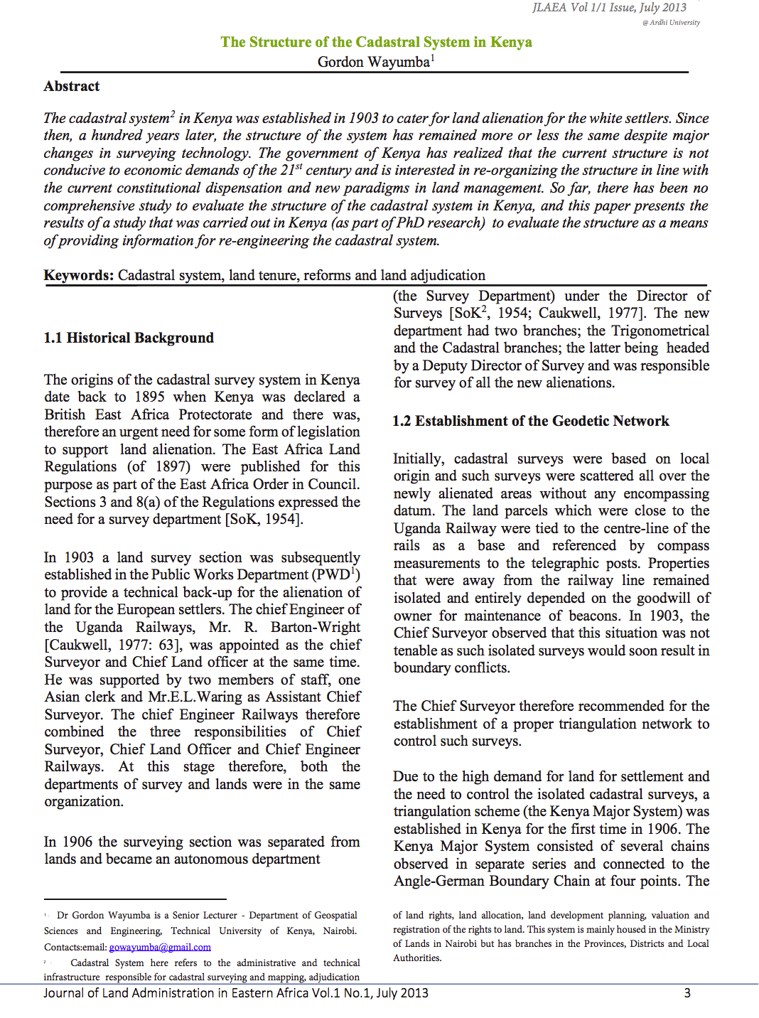
The Structure of the Cadastral System in Kenya
The cadastral system in Kenya was established in 1903 to cater for land alienation for the white settlers. Since then, a hundred years later, the structure of the system has remained more or less the same despite major changes in surveying technology. The government of Kenya has realized that the current structure is not conducive to economic demands of the 21st century and is interested in re-organizing the structure in line with the current constitutional dispensation and new paradigms in land management.
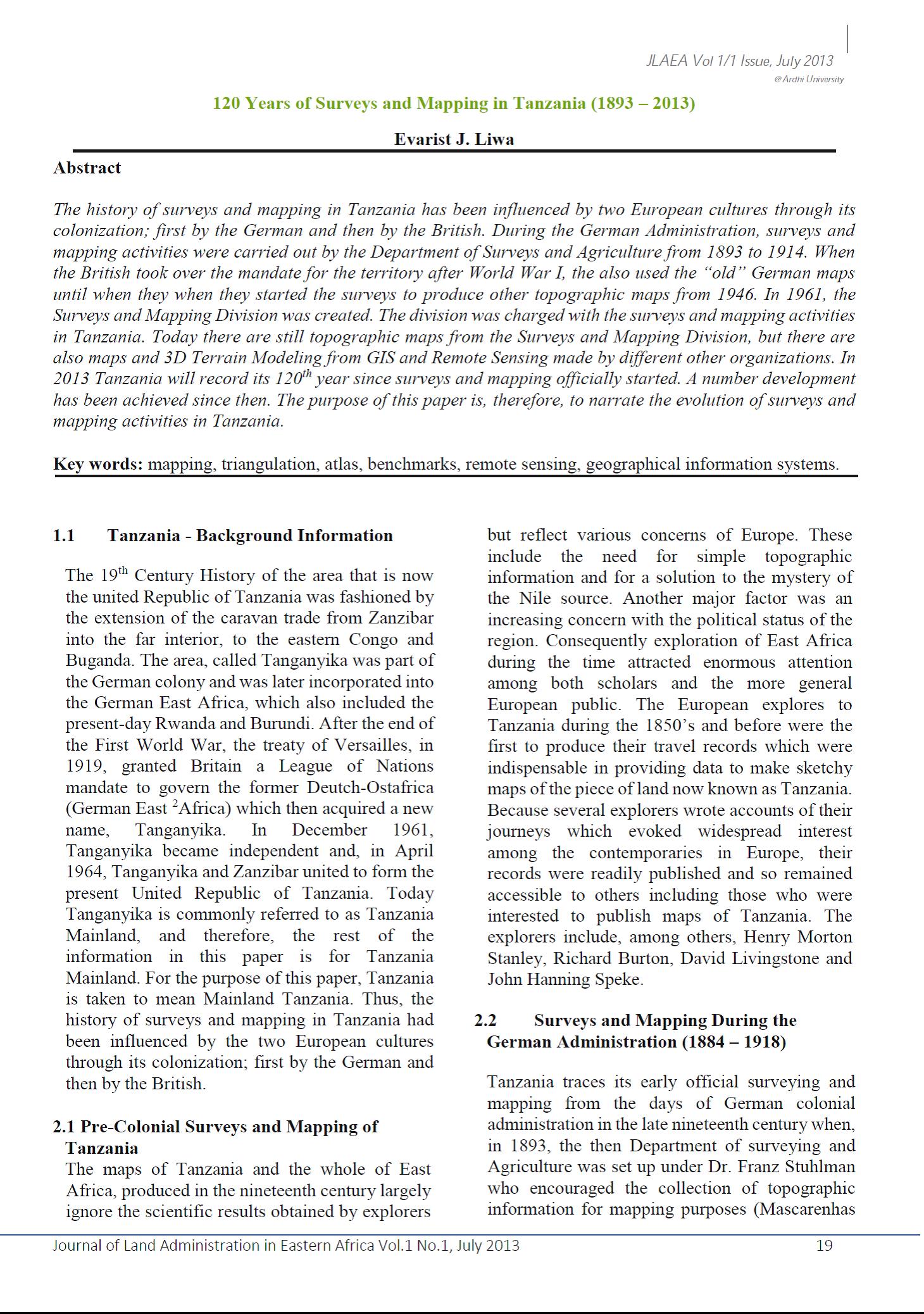
120 Years of Surveys and Mapping in Tanzania (1893 – 2013)
The history of surveys and mapping in Tanzania has been influenced by two European cultures through its colonization; first by the German and then by the British. During the German Administration, surveys and mapping activities were carried out by the Department of Surveys and Agriculture from 1893 to 1914. When the British took over the mandate for the territory after World War I, the also used the “old” German maps until when they when they started the surveys to produce other topographic maps from 1946. In 1961, the Surveys and Mapping Division was created.
Professional Skills Needed in Formulating and Implementing National Land Policies
Developing countries are facing a number of challenges in search of development. Various policies and strategies have been formulated and many are already in the process of implementation in different countries. Among the policies are National Land Policies (NLP).
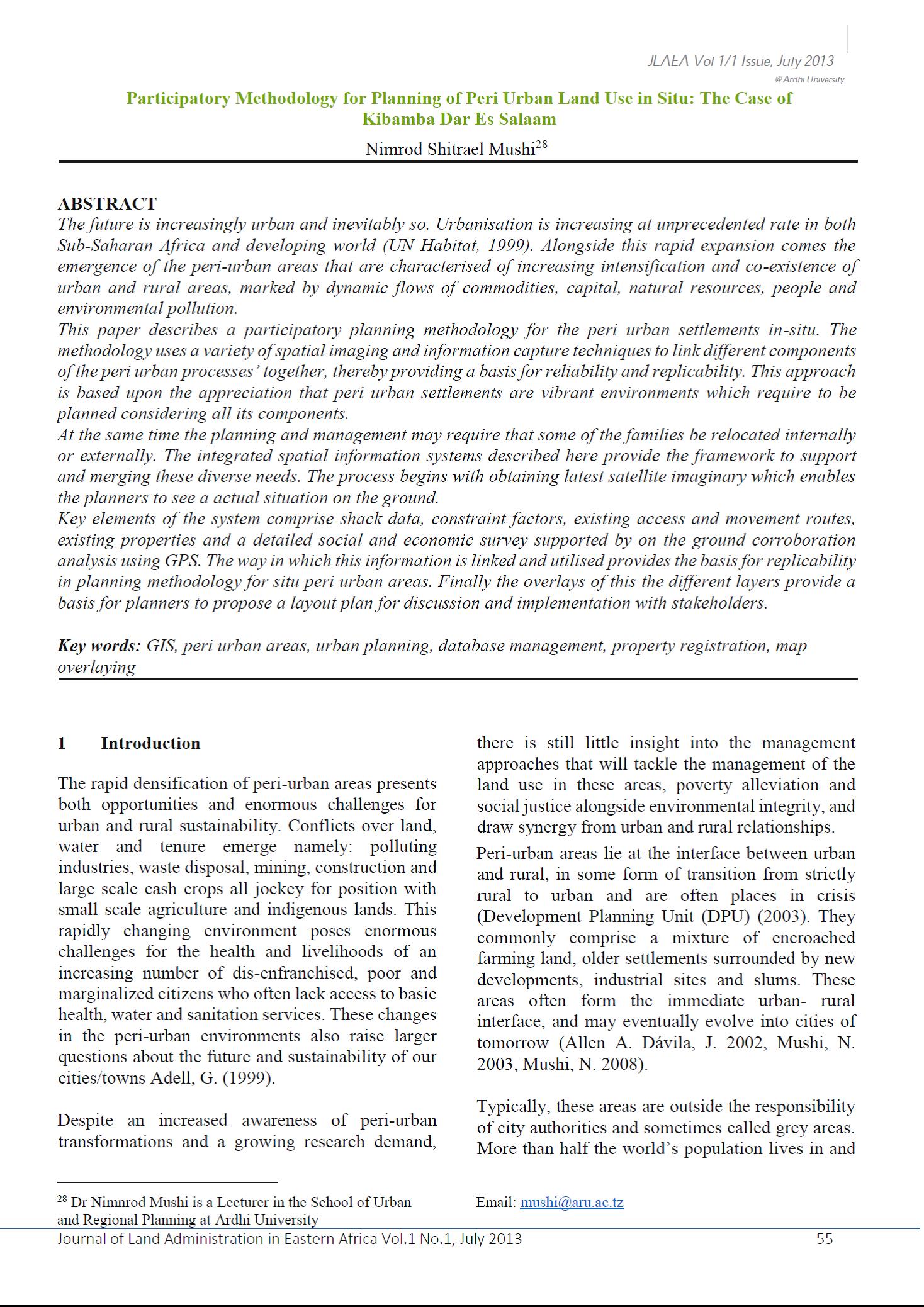
Participatory Methodology for Planning of Peri Urban Land Use in Situ
The future is increasingly urban and inevitably so. Urbanisation is increasing at unprecedented rate in both Sub-Saharan Africa and developing world (UN Habitat, 1999). Alongside this rapid expansion comes the emergence of the peri-urban areas that are characterised of increasing intensification and co-existence of urban and rural areas, marked by dynamic flows of commodities, capital, natural resources, people and environmental pollution.


