Global
Displaying 85 - 96 of 1054


5 Outubro 2017 to 6 Outubro 2017
QUEEN ELIZABETH 11 CONFERENCE CENTRE, LONDON United Kingdom
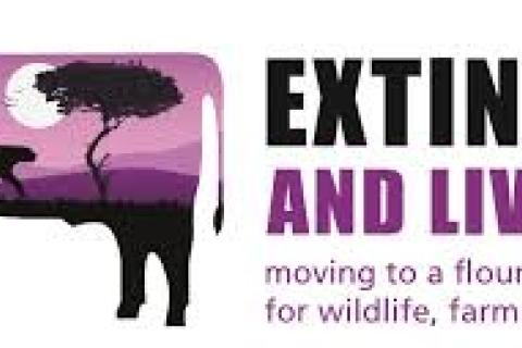
The Extinction and Livestock international conference will examine how we can
transform our global food and farming systems to work for people, the planet
and animals. It will bring together diverse interests – conservation &
livestock production, land & water use, the environment &…
23 Janeiro 2018 to 24 Janeiro 2018
Montpellier France
Date: 26 juin 2017
Source: CIRAD
SAVE THE DATE. Dans le cadre de son thème annuel consacré aux Territoires, le Cirad organise, avec ses partenaires, une conférence internationale les 22, 23 et 24 janvier 2018, à Montpellier, France. Partant de la conviction qu'il n'y aura ni paix ni de prospérité…
17 Outubro 2017 to 19 Outubro 2017
SupAgro Montpellier France
Date: 29 juin 2017
Source: INRA
Le Réseau Français de Biologie des Graines rassemble la communauté scientifique française travaillant sur la biologie des graines, leur développement, leur adaptation au milieu et leurs utilisations alimentaires et non-alimentaires.
Cinq colloques de ce réseau se…
20 Novembro 2017 to 24 Novembro 2017
Dakar Senegal
PRÉSENTATION
Le pastoralisme contribue de manière prépondérante à l’économie et à l’écologie des zones arides et semi-arides qui couvrent plus de 40% des terres émergées de la planète. L’activité pastorale pratiquée par les sociétés d’éleveurs sur une grande diversité de milieux et d’espèces,…
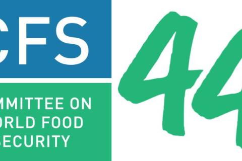
9 Outubro 2017 to 13 Outubro 2017
Food and Agriculture Organization of the United Nations (FAO) Viale delle Terme di Caracalla Rome Italy
The vision of the Committee on World Food Security (CFS) is to be the most inclusive international and intergovernmental platform for all stakeholders to work together in a coordinated way to ensure food security and nutrition for all.
CFS is made up of Members, Participants and Observers. The…
21 Julho 2017
Netherlands
Date: 13 juillet 2017
Au Mali, grâce à une nouvelle loi historique, les paysans ont gagné des nouveaux droits sur leurs terres traditionnelles et les communautés rurales ont amélioré leur stabilité économique.
Ceci est la première fois dans l'histoire législative du Mali qu'une loi a été…
11 Novembro 2017 to 14 Novembro 2017
Manama Bahrain
UNStats has announced that the 6th Meeting of the Inter-Agency and Expert Group on the Sustainable Development Goal Indicators (IAEG-SDGs) will take place Manama, Bahrain from 11-14 November 2017.
At this meeting, the IAEG-SDGs will decide whether the Tier Statuses of the SDG indicators will be re-…
19 Março 2018 to 23 Março 2018
World Bank Headquarters 1818 H Street, NW Washington United States
The Land and Poverty conference will present the latest research and practice on the diversity of reforms, interventions, and innovations in the land sector around the world. The 2018 conference theme will iw Land Governance in an Interconnected World
The conference has become one of the largest…
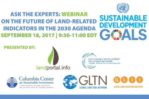
18 Setembro 2017
Online United States
Presented by: Land Portal Foundation, Global Land Tool Network (GLTN), and the UN Sustainable Development Solutions Network’s Thematic Network on Good Governance of Extractive and Land Resources
Please register here.
The Land Portal Foundation, the UN Sustainable Development Solutions Network’s…
12 Outubro 2017
FAO Headquarters - Iraq Room Rome Italy
Taking stock of progress and mapping future contributions from development actors
The Land Portal Foundation and the Global Land Tool Network (GLTN) are please to invite you to our side event at the Committee on Food Security (CFS) on October 12, 8:30AM - 10:00AM, IRAQ Room, FAO Headquarters, Rome…
2 Novembro 2017
Ahead of the UNFCCC COP23 in Bonn, the Donor Platform is pleased to invite you to a webinar to learn and discuss about a recent Oxfam report on finance to women farmers. The report looks at whether and to what extent women are obtaining adequate support for farming and adapting to climate change.…
7 Dezembro 2017 to 8 Dezembro 2017
Academiegebouw Domplein 29 Utrecht Netherlands
Climate change is amongst the most prominent developmental issues today. As a result, large amounts of capital are being made available to strengthen resilience and adaptive capacity of climate-vulnerable people, particularly in the global South. In the African drylands, for example, this includes…