Passar para o conteúdo principal

page search

Displaying 109 - 120 of 1346

Loi n°2011-005 du 01 août 2011 instituant l’Ordre des géomètres experts à Madagascar.

Legislation
Julho, 2011
Madagáscar

La présente loi crée un Ordre des géomètres experts à Madagascar regroupant les personnes habilitées à exercer la profession de géomètre expert. En effet, est géomètre expert le technicien, exerçant une profession libérale qui, en son propre nom et sous sa responsabilité personnelle, effectue les études topographiques et les opérations topographiques foncières notamment: bornage, fixation des limites des biens et de leur consistance, établissement d’un plan régulier, lotissement, évaluation immobilière, expertise judiciaire.

Law amending the Law on state survey and real estate cadaster.

Legislation
Junho, 2011
Montenegro

This Law amends various provisions stipulated by the Law on state survey and real estate cadaster (Official Gazette of the Republic of Montenegro 29/2007).Significant changes are related to the general terms, definitions and denominations; annual plan of works (updated provisions introducing some new provisions); specific rules for geodetic organization related matters; certain financial/fiscal costs/fees as regards the cadaster issues; and offences and consequential penalties.

Amends: Law on state survey and real estate cadaster. (2007-05-15)

Land Law Amendment.

Legislation
Junho, 2011
China

The Article 8, 34 and 175 of the Land Law are canceled. Article 172 is amended as: The land value tax shall be levied on the landowner. In the case of any land subject to dien, the said tax shall be paid by the dien-holder. The Article 34-1 is also amended. For the disposal of ownership, or changes of, or setting encumbrance of superficies, agricultural right, servitude of real property, or dien over co-owned land or constructional improvements, the consent of more than half of the Co-owners whose holding of ownership is more than half of the total share shall be required.

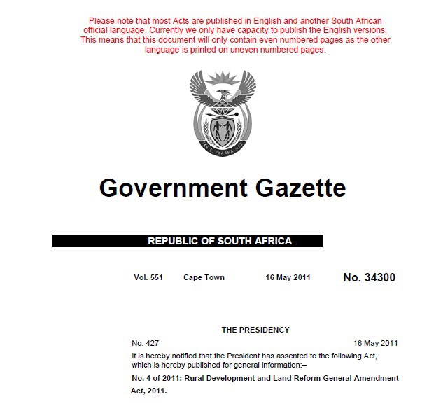
Rural Development and Land Reform General Amendment Act, 2011

Legislation & Policies
Maio, 2011
África do Sul

To amend various laws under the administration of the Minister of Rural Development and Land Reform, so as to substitute certain obsolete definitions to ensure legal certainty; to effect certain consequential amendments in this regard; and to provide for matters connected therewith. BE IT ENACTED by the Parliament of the Republic of South Africa

Styria Geo-Data Infrastructure Law 2011.

Legislation
Fevereiro, 2011
Áustria

The purpose of the present Law is to lay down rules aimed at the establishment of the infrastructure for spatial information in Styria with a view to environmental policies and activities which may have an impact on the environment. For the purpose of the present Law “Infrastructure for spatial information” means metadata, spatial data sets and spatial data services; network services and technologies; agreements on sharing, access and use.

Regulations of the People's Republic of China on the Protection of Survey Markers (2011).

Regulations
Dezembro, 2010
China

These Regulations, consisting of 26 Articles, are formulated in accordance with the Surveying and Mapping Law of the People's Republic of China, for the purpose of strengthening the protection and management of surveying markers.These Regulations shall be applicable to the surveying markers placed in the territorial air, land and waters of the People's Republic of China, as well as other sea areas under the jurisdiction of the People's Republic of China (art.2).

Upper Austria Geo-Data Infrastructure Law

Legislation
Dezembro, 2010
Áustria

The purpose of the present Law is to lay down rules aimed at the establishment of the infrastructure for spatial information in Upper Austria with a view to environmental policies and activities which may have an impact on the environment. The text consists of 20 articles divided into 7 Parts as follows: General provisions (1); Metadata, spatial data sets and spatial data services (2); Network services (3); Use of spatial data and spatial data services by competent authorities (4); Coordination and monitoring (5); Legal protection (6); Final provisions (7). Three Annexes are enclosed.

Spatial Information Act.

Legislation
Dezembro, 2010
Liechtenstein

The purpose of the present Act is to transpose into national legislation the Directive 2007/2/EC of the European Parliament and of the Council of 14 March 2007 establishing an Infrastructure for Spatial Information in the European Community (INSPIRE). Article 1 of the above-mentioned Act establishes that the present Act regulates the creation, maintenance and organization of a national spatial data infrastructure. In particular the Act aims to provide authorities, economy, science and the public with spatial information in a sustainable, up to date, quick and simple way.

Burgenland Geo-Data Infrastructure Law.

Legislation
Novembro, 2010
Áustria

The purpose of the present Law is to lay down rules aimed at the establishment of the infrastructure for spatial information in Burgenland with a view to environmental policies and activities which may have an impact on the environment. For the purpose of the present Law “Infrastructure for spatial information” means metadata, spatial data sets and spatial data services; network services and technologies; agreements on sharing, access and use.

Vienna Geo-Data Infrastructure Law.

Legislation
Agosto, 2010
Áustria

The purpose of the present Law is to lay down rules aimed at the establishment of the infrastructure for spatial information in Vienna and its surroundings with a view to environmental policies and activities which may have an impact on the environment. The text consists of 17 articles divided into 7 Parts as follows: General provisions (1); Metadata, spatial data sets and spatial data services (2); Network services (3); Use of spatial data and spatial data services by competent authorities (4); Coordination and monitoring (5); Legal protection (6); Final provisions (7).

Regulation No. 459 of 2010 approving common geodesic and GIS standards.

Regulations
Junho, 2010
Albânia

The Regulation lays down the rules for the implementation of common geodesic and GIS (Geographic Information System) standards that must be used by the territorial planning authorities and other public institutions in the Republic of Albania. It consists of four Chapters: General provisions (I); Standards for the data and metadata specifications (II); Standards for the description of data coding and formatting (III); Standards of Network Services (IV).

Implements: Law No. 10119 on land use planning. (2009-04-23)