Passar para o conteúdo principal

page search

Displaying 97 - 108 of 1346

Order No. 703 on the appointment of land inspectors, notification duty for temporary service provisions, and on land inspectors’ information disclosure notification.

Regulations
Junho, 2013
Dinamarca

The Order applies to the application for appointing survey and cadaster land inspectors. These requests shall be submitted to the National Survey and Cadaster authorities in order to obtain professional international authorization of duty qualification. Provisions of the Order shall also apply to the application for the appointment of candidates originating from other EU countries, or from countries with which an agreement has been established with regard to the regulation of the land inspector profession.

Order No. 704 on Land Inspection Board.

Regulations
Maio, 2013
Europa
Europa Setentrional
Dinamarca

The Order sets regulations on the formation of the Land Inspection Board (LIB), which consists of 3 members appointed by the Minister of Environment after recommendation by the Ministry of Justice, Geo Data Board and the Danish Association of Chartered Surveyors. The LBI deals with appeals from practicing surveyors following failure of fulfilling their duties.

Order No. 255 of the Ministry of Agrarian Policy and Food validating the Regulation on technical and technological requirements for land survey practices.

Regulations
Abril, 2013
Ucrânia

These Requirements apply to business entities that perform land survey practices (land survey, mapping, and topographic, geodetic, cartographic, design surveys) for the purpose of drawing up land survey documentation. Land surveyors shall be provided with geodetic and computer equipment and devices in order to ensure precise and complying with established standards mapping of the territory. Copy of land survey documentation shall be submitted free of charge to the State Land Cadastre Service.

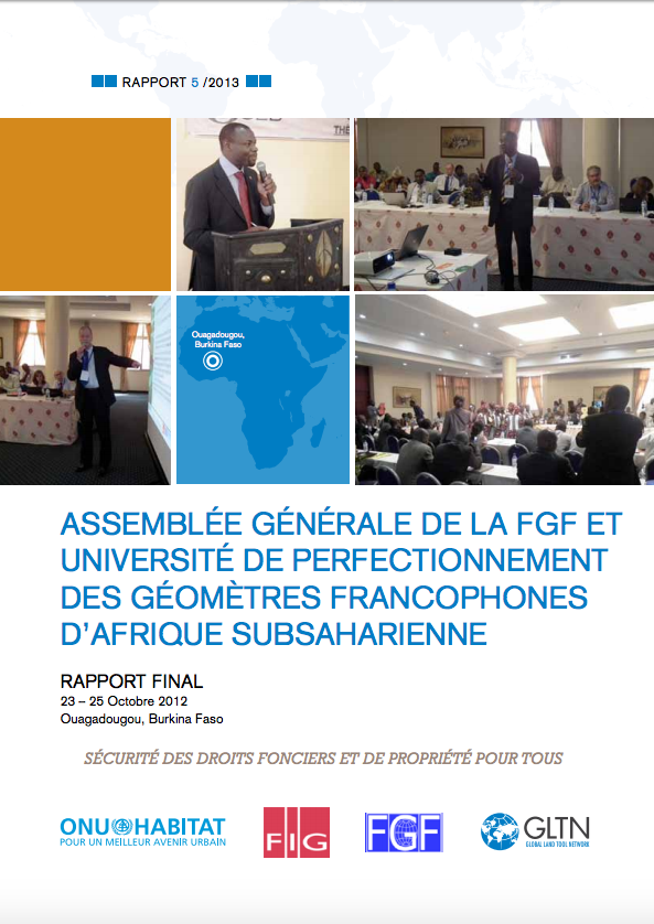
Assemblée Générale de la FGF et Université de perfectionnementdes Géomètres Francophones d’Afrique Subsaharienne (Ouagadougou Report)

Reports & Research
Dezembro, 2012
Afrique occidentale
Afrique

En marge de l’Assemblée Générale de la Fédération des Géomètres Francophones (FGF), ONU-Habitat et le Réseau Mondial des Instruments Fonciers (GLTN), a organisé une séance de formation sur la bonne gouvernance foncière.
Cette rencontre technique et scientifique a réuni 130 experts géomètres, du secteur privé, du secteur public, enseignants, étudiants, venus de 13 pays d’Afrique Subsaharienne et d’Europe.

Guyana National Land Use Plan.

National Policies
Dezembro, 2012
Guiana

The primary objective of the National Land Use Plan (NLUP) is to provide a strategic framework to guide land development in Guyana. As such the NLUP is built upon a number of national policies and strategies that have a direct relevance for land use and land management. A main objective of the NLUP is to enable financial resources to be targeted at optimal land uses at the regional level.The NLUP aims to suggest a number of options for particular areas that can then guide decision-makers and attract inward investment.

Décret n° 2012/390 du 18 septembre 2012 portant organisation du Ministère des Domaines, du Cadastre et des Affaires Foncières.

Regulations
Setembro, 2012
Camarões

Le présent décret fixe l’organisation du Ministère des Domaines, du Cadastre et des Affaires Foncières. Le Ministre des Domaines, du Cadastre et des Affaires Foncières est responsable de l’élaboration et de la mise en œuvre de la politique du Gouvernement en matière domaniale, cadastrale et foncière.

Acuerdo Nº 80 - Aprueba el Plan de Manejo del Parque Nacional Yasuní (PNY).

Regulations
Julho, 2012
Equador

El presente Acuerdo aprueba el Plan de Manejo del Parque Nacional Yasuní (PNY), como instrumento técnico y de planificación que rige la gestión del área protegida, que contiene los principios, directrices y normas para alcanzar la coexistencia armónica entre el uso racional de los recursos, los bienes y servicios que genera y garantice la conservación de los procesos ecológicos que determinan la funcionalidad de los ecosistemas inmersos en el área protegida.

Agreement between the Government of the Republic of Belarus and the Government of Turkmenistan on cooperation in the sphere of geodesy, cartography and distant zoning of the Earth.

International Conventions or Treaties
Abril, 2012
Turquemenistão
Bielorrússia

The cooperation envisaged in this Agreement shall be carried out in the following areas: (a) exchange of scientific, technical and production information; (b) implementation of joint research, experimental and production work; (c) joint aerospace surveys required for both Parties, and the exchange of data related to distant zoning of the Earth; (d) training and skills development for implementation works on geodesy, cartography and distant zoning of the Earth; (e) exchange on the basis of bilateral agreements of geodetic, cartographic materials and data of aerospace surveys of the proper te

Décret n° 1500/PR/MHUEDD du 29 décembre 2011 portant création et organisation de l'Agence nationale de l’urbanisme, des travaux topographiques et du cadastre.

Regulations
Dezembro, 2011
Gabão

Le présent décret, pris en application des dispositions de la loi n° 020/2005 du 03 janvier 2006 fixant les règles de création, d'organisation et de gestion des services de l'Etat, ensemble les textes modificatifs subséquents, porte création et organisation de l’Agence Nationale de l'Urbanisme, des Travaux Topographiques et du Cadastre. L’Agence Nationale de l'Urbanisme, des Travaux Topographiques et du Cadastre (ANUTTC) a pour mission d'aménager des espaces constructibles et de délivrer les titres de propriété établis par les administrations compétentes en la matière.

Land Use Planning and Building Law.

Legislation
Dezembro, 2011
Suíça

The purpose of the present Law is to achieve the objectives and principles of federal and cantonal legislation in the field of land use planning and construction. The text consists of 127 articles divided into 8 Parts as follows: General provisions (1); Land use planning (2); Development (3); Land consolidation and boundary adjustment (4); Measures to promote the availability of land (5); Building regulations (6); Procedural provisions, administrative enforcement and penalties (7); Transitional and final provisions (8).

Spatial Information Law.

Legislation
Novembro, 2011
Suíça

The present Law enforces the Federal Spatial Information Act of 5 October 2007. In particular, the Law lays down provisions relating to the enforcement of federal legislation in the field of geographic information and the collection, management and use of spatial data for the area of the canton Basel-Stadt. Furthermore, the Law creates conditions for a cantonal spatial data infrastructure. The text consists of 25 articles divided into 5 Parts as follows: General provisions (1); Principles (2); Official survey (3); Organization (4); Modification and repeal (5). One Annex is enclosed.