Passar para o conteúdo principal

page search

Displaying 193 - 204 of 2815

Asigurarea informațională a dezvoltării sustenabile

Journal Articles & Books
Dezembro, 2016
Global

The paper analyzes the provision with spatial information and the mode of its use in rural municipalities. The purpose of this study is to examine the ensurance with spatial information about natural capital within the ATU. The study examines the content and issues faced by local authorities while collecting and managing spatial information . There are given some proposals on the development of the Information System of the locality.

Decreto Legislativo Nº 1288 ─ Modifica la Ley Nº 28294, Ley que crea el Sistema Nacional Integrado de Información Catastral Predial.

Legislation
Dezembro, 2016
Peru

El presente Decreto Legislativo modifica la Ley que crea el Sistema Nacional Integrado de Información Catastral Predial, en relación a las entidades que lo conforman y a los integrantes del Consejo Nacional de Catastro. Además, crea el Índice de las Estaciones de Rastreo Permanente (ERP), de propiedad de las entidades públicas y privadas, a fin de densificar y consolidar el Sistema Geodésico Oficial.

Ley Nº 30528 - Modifica la Ley Nº 28294, Ley que crea el Sistema Nacional Integrado de Información Catastral Predial.

Legislation
Dezembro, 2016
Peru

La presente Ley modifica la que crea el Sistema Nacional Integrado de Información Catastral Predial, en relación a las entidades que lo conforman y a los integrantes del Consejo Nacional de Catastro.

Enmienda: Ley Nº 28294 ─ Ley que crea el Sistema Nacional Integrado de Información Catastral Predial. (2004-07-20)

Order No. 556 of the Ministry of Agrarian Policy and Food validating the Regulation setting forth the procedure for compilation, submittal and processing of requests for public information, which is administered by the State Service for Geodesy, Cartog...

Regulations
Dezembro, 2016
Ucrânia

This Order establishes the procedure for compilation, submittal and processing of requests for public information, which is administered by the State Service for Geodesy, Cartography and Cadastre and its territorial bodies, and forms for the filing of such requests. Access to public information shall be ensured through provision of information and data in accordance with requests for access to public information, including requests to public information classified as open data.

Decreto Nº 1.283 - Reglamento General para la aplicación de la Ley Orgánica de Tierras Rurales y Territorios Ancestrales.

Regulations
Dezembro, 2016
Equador

El presente Reglamento General para la aplicación de la Ley Orgánica de Tierras Rurales y Territorios Ancestrales, de Tierras Rurales y Territorios Ancestrales, tiene por objeto regular la aplicación de la Ley Orgánica de Tierras Rurales y Territorios Ancestrales, de conformidad con los principios, finalidades, lineamientos de la política agraria de tierras y los derechos vinculados a la propiedad de la tierra rural y territorios ancestrales.

Decreto Nº 1.283 - Reglamento General de la Ley Orgánica de Tierras Rurales y Territorios Ancestrales.

Regulations
Dezembro, 2016
Equador

El presente Decreto aprueba el Reglamento General para la aplicación de la Ley Orgánica de Tierras Rurales y Territorios Ancestrales, que tiene por objeto regular la aplicación de la Ley Orgánica de Tierras Rurales y Territorios Ancestrales, de conformidad con los principios, finalidades, lineamientos de la política agraria de tierras y los derechos vinculados a la propiedad de la tierra rural y territorios ancestrales.Sobre las condiciones para determinar el cambio de la clasificación del uso del suelo rural, dispone que la Autoridad Agraria Nacional, a solicitud del Gobierno Autónomo Desc

Decreto Nº 2.051 - Modifica el Decreto Único Reglamentario del Sector Administrativo Agropecuario, Pesquero y de Desarrollo Rural, en lo relacionado con en lo relacionado con el Registro Único de Predios y Territorios Abandonados (RUPTA).

Regulations
Dezembro, 2016
Colômbia

La presente Decreto modifica el Decreto Único Reglamentario del Sector Administrativo, Agropecuario, Pesquero y de Desarrollo Rural, en lo relacionado con el Registro Único de Predios y Territorios Abandonados (RUPTA), con el objeto de armonizar el Registro Único de Predios y Territorios Abandonados (RUPTA) con el Registro de Tierras Despojadas y Abandonadas Forzosamente, creado mediante la Ley Nº 1.448.

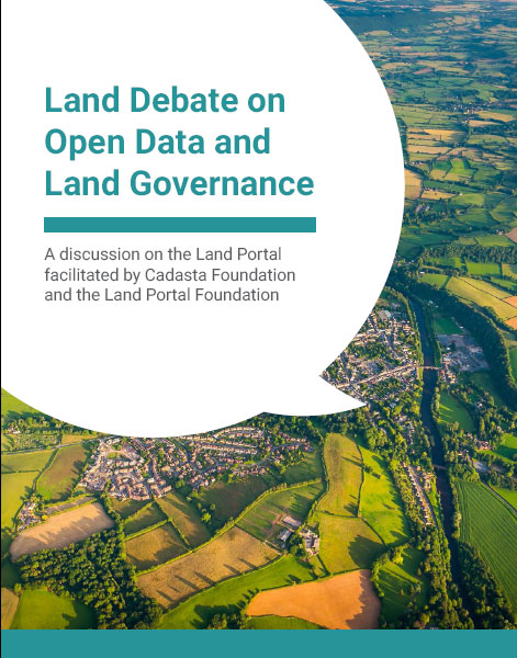
Report: Debate on Open Data and Land Governance

Reports & Research
Dezembro, 2016
Global

Across most contexts, government data sources on land are largely inaccessible, from land administration data, such as parcel data and ownership information to land investments, contract data and even policy information. In considering data on property ownership specifically, the latest version of the Open Data Barometer shows only two countries, New Zealand and the United Kingdom, obtained a full 100% score on the topic of Land Ownership. When this land administration data is made available, it is commonly made public via a web portal rather than as open data.

Land Registration Ordinance.

Regulations
Novembro, 2016
Liechtenstein

The present Ordinance shall cover: a) the organization of the Land Register; b) the structure, content and legal effects of the Land Register; c) electronic commerce with the Office of Justice; d) the procedure for the registration, modification and deletion of rights in remnants of immovable property as well as of reservations and remarks; e) the distribution of information and the inspection of the Land Register.

Agreement between the State Property Committee of the Republic of Belarus and the State Committee on property issues of the Republic of Azerbaijan on cooperation.

International Conventions or Treaties
Novembro, 2016
Azerbaijão
Bielorrússia

This Agreement provides for cooperation in the field of state property management and privatization, land relations, sectoral geodetic activities, state registration of immovable property, rights thereto and transactions therewith, land valuation, keeping of relevant inventories, registers and records will be implemented in accordance with national legislation of the Parties in the following areas: (a) exchange of information on the normative legal acts of the Parties on the issues of public administration of property and privatization, land relations, industrial geodetic activity, state re