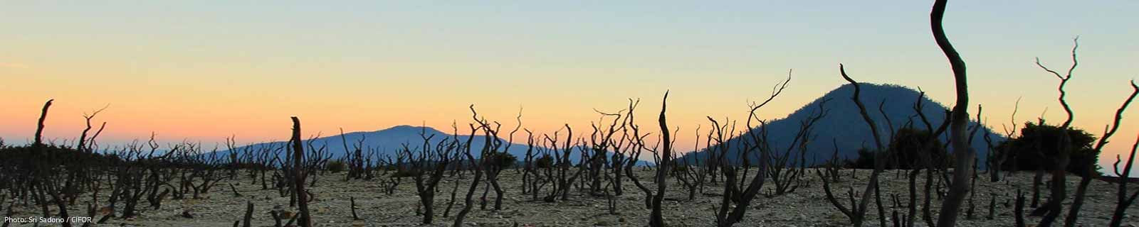
Proportion of land that is degraded over total land area
Last updated on 1 February 2022
This indicator is currently classified as Tier I. The United Nations Convention to Combat Desertification (UNCCD) is the Custodian agency for this indicator. Food and Agriculture Organization of the United Nations (FAO) and the United Nations Environment Programme (UNEP) are partner agencies.
Unit of measure: Proportion of land that is degraded over total land area (%)
Why is this indicator important?
Food production, extractive industries, or the expansion of infrastructure increase pressure on arable lands, pastures, forestry, and other essential areas. In turn, land degradation has negative effects on ecosystems, farm yields, and the quantity and quality of water resources. As a consequence, food insecurity may rise and facilitate migration and urbanization.
To assess the extent of land degradation is important for tracking progress towards voluntary Land Degradation Neutrality (LDN) targets and for the development of plans of action to redress degradation, including through the conservation, sustainable management, rehabilitation and restoration of land resources.
How is the indicator measured and monitored?
According to the metadata document, the indicator uses a binary classification (degraded or not degraded) drawing on the three sub-indicators that assess trends in land cover, in land productivity, and in carbon stocks above and below ground. Any significant decrease or negative change in one of the three is considered to compromise land degradation. Land degradation is defined the reduction or loss of the biological or economic productivity and complexity of rain fed cropland, irrigated cropland, or range, pasture, forest and woodlands resulting from a combination of pressures, including land use and management practices. (UNCCD 1994, Article 1).
Since 2018, data is collected every four years through UNCCD’s national reporting and review process. Data sources include databases, maps, reports provided by ministries or agencies along with national statistical offices, as well as remote sensing, such Earth Observation data sources, that are disaggregated to national level. The Good Practices Guidance for SDG Indicator 15.3.1, version 2.0 provides a detail overview on monitoring and computation. The main limitations include the availability of historical time series and the, as of yet, often limited national capacities to process, interpret, and validate geospatial data.
By Anne Hennings, peer-reviewed by UNCCD.
Official indicator data
The proportion of land that is degraded draws on three sub-indicators: Land productivity, land cover, and soil organic carbon. * Select "year" below to see the most recent data for more countries.
Other related indicators on Land Portal
In addition to the official indicator data, the following indicators provide information concerning land under organic agriculture and the enforcement of land use restrictions in rural areas.
| Indicator | Min-Max Number of years |
Countries / Obs | Min / Max Value |
|---|---|---|---|
| Agricultural area certified organic | |||
| Agriculture area under organic agric. | |||
| Restrictions regarding rural land use are enforced |
The global environmental benefits of land degradation control on agricultural land - global overlays program
The note focuses on the global effects of land degradation, but emphasizes other important levels of land degradation: at the field level, it may result in reduced productivity; at the national level, it may cause flooding, and sedimentation; and, at the global level, it can contribute to climate changes, damaging bio-diversity, and international waters.
Determinants of farmers' indigenous soil and water conservation investments in India's semi-arid tropics
This paper explores the determinants of farmers' investments in indigenous soil and water conservation measures in the semi-arid tropics of India. Many types of indigenous conservation measures are observed in three study villages, including investments in terracing, levelling, gully checks, field boundary bunds, grass strips, drainage, and other measures.
Soil Survey and Land Classification, Republic of Yemen. Land suitability for irrigated sorghum (Seifi) in Wadi Mawr (Tihama).
The purpose of this evaluation is to determine the land suitability of the Wadi Mawr area for the cultivation of (spate) irrigated sorghum under improved traditional management, and to determine the yield response to additional water gifts on various soil types. The evaluation was carried out for the alluvial plain, i.e.
Assistance to Land Use Planning: Ethiopia. Provisional Soil Association Map of Ethiopia (1:2,000,000)
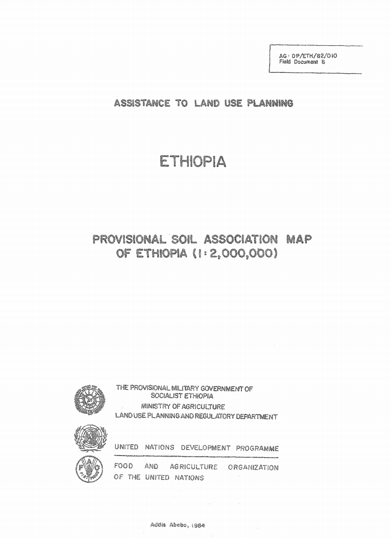
The 1: 2 000 000 Soil Associations map is based on
the Geomorphology and Soils map, at 1: 1 000 000 scals, prepared
by the FAO/UNDP Eth/78/003, Assistance to Land Use PlJ
Project in 1981 It incorporates some new information ob%,3 _
since the finalizing of the Geomorphology and soils map.
Carbon Finance Possibilities for Agriculture, Forestry and other Land Use Projects in a Smallholder Context
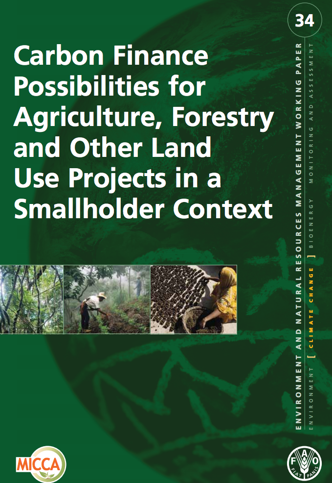
This booklet is intended to guide extension service advisors and institutions who work with small-scale farmers and foresters with an interest in Carbon inance and Carbon Projects. Its aim is to support setting-up carbon projects which involve small-scale farmers.
Their participation allows them to be involved in the development and implementation of
![]()

By 2030, combat desertification, restore degraded land and soil, including land affected by desertification, drought and floods, and strive to achieve a land degradation-neutral world
Indicator details
The Indicator is conceptually clear, has an internationally established and available methodology and standards, and that data is regularly produced by countries for at least 50 per cent of countries and of the population in every region where the indicator is relevant.
Key dates: