Pasar al contenido principal

page search

There are 809 content items of different types and languages related to Sistemas de información de tierras on the Land Portal.
Displaying 13 - 24 of 57

Land laws amendment bills: a practitioner’s perspective on the land bills

Journal Articles & Books
Agosto, 2014
Kenya

The first set of the land laws were enacted in 2012 in line with the timelines outlined in the Constitution of Kenya 2010. In keeping with the spirit of the constitution, the Land Act, Land Registration Act and the national Land Commission Act respond to the requirements of Articles 60, 61, 62, 67 & 68 of the Constitution. The National Land Policy, which was passed as Sessional Paper No. 3 of 2009, arrived earlier than the Constitution, with some radical proposals on the land Management.

LAND GOVERNANCE IN URBAN AREAS CASE OF NAIROBI CITY COUNTY

Journal Articles & Books
Febrero, 2017
Kenya

Globalisation and urbanisation trends in developing countries present both opportunities for growth and development on one hand while contributing to the complex myriad challenges of managing urbanisation on the other hand. Cities and urban areas play a critical in the development of a country. They provide platforms that incorporate intense combination of economic, cultural and political factors of a country or region. Nairobi city is Kenya’s economic capital and is a major economic hub in Africa.

Urban Land Use Planning Monitoring And Oversight Guidelines

Manuals & Guidelines
Noviembre, 2016
Kenya

Cities and Urban Areas play a crucial role as engines of development as well as centers of connectivity, creativity, innovation, and as service hubs for the surrounding areas. Kenya has experienced unprecedented urban growth. At independence the urban population was about 8%. This had grown to be about 40% by 2015. It is projected that by year 2030 at least half of the Kenyan population will be urbanized. The rapid rate of urbanization exerts increased pressure on authorities to meet the needs of growing urban populations.

County Spatial Planning And Monitoring Oversight

Manuals & Guidelines
Noviembre, 2015
Kenya

These guidelines provide a basis for engagement between the County Governments as planning authorities responsible for preparing, approving and implementing County Spatial Plans and the National Land Commission as a monitoring and oversight agency over land use planning. The County Government Act 2012 at section 110(1)(a) stipulates that the County Spatial Plans shall give effect to the principles and objects of county planning and development contained in section 102 and 103 of the same Act.

DEVELOPING LAND INFORMATION MANAGEMENT SYSTEM (LIMS) FOR COUNTY GOVERNMENTS IN KENYA: A CASE STUDY KIRINYAGA COUNTY.

Journal Articles & Books
Febrero, 2017
Kenya

This paper describes the development of a Land Information Management System (LIMS) for County Governments in Kenya. In the new Constitution 2010, devolution of some national government functions and formation of county governments was provided for. These invoked the development of new land laws to guide the devolution processes and procedures. According to the County Government Act 2012, all County Governments are supposed to develop digital Geographic Information System (GIS) based spatial plans and these calls for development of LIMS for and efficient breakthrough.

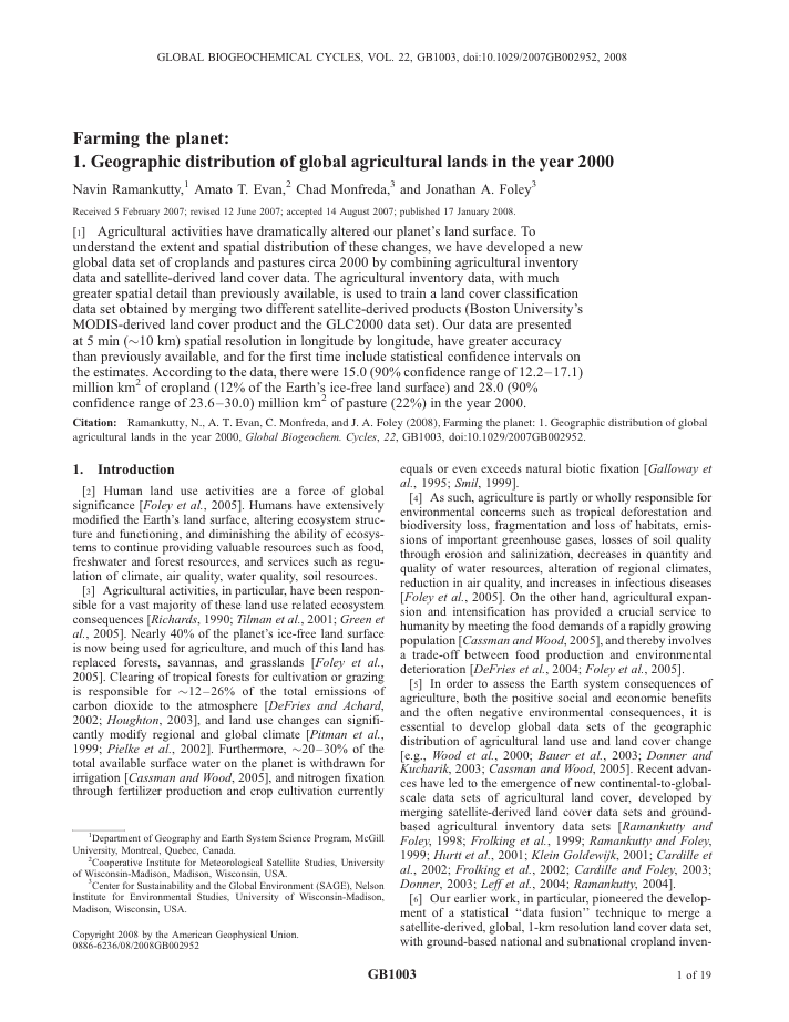
Farming the planet: 1. Geographic distribution of global agricultural lands in the year 2000

Peer-reviewed publication
Julio, 2008
Global

Agricultural activities have dramatically altered our planet's land surface. To understand the extent and spatial distribution of these changes, we have developed a new global data set of croplands and pastures circa 2000 by combining agricultural inventory data and satellite-derived land cover data. The agricultural inventory data, with much greater spatial detail than previously available, is used to train a land cover classification data set obtained by merging two different satellite-derived products (Boston University's MODIS-derived land cover product and the GLC2000 data set).

Technology and precision of automatized deciphering of agricultural lands

Policy Papers & Briefs
Diciembre, 2012
Estados Unidos de América
Belarús

In the conditions of the Republic of Belarus there was presented the technology of automatized deciphering of area objects with the help of programme complex ENVI ((Environment for Visualizing Image), developed by the Research Systems, Inc. (the USA)). There were examined existing methods of deciphering in the programme complex ENVI. The presented order of deciphering could be recommended for production and could be used for the deciphering of linear and single-point objects.

Social impacts of land commercialization in Zambia

Reports & Research
Diciembre, 2010
Zambia

Macha Mission in Choma District of Southern Province, Zambia was founded by the Brethren in Christ (BIC) Church in 1906 and granted title deeds to 3,003 hectares of land by the British colonial authority of the time. Since then the Mission has built a church, a hospital (which today includes a pioneering malaria clinic), two schools, and houses for its workers. A large market has grown up near the hospital, serving local workers and hospital visitors.

Elaboración de un Sistema de Información Geográfica Hídrico para evaluar potenciales aplicaciones de Energía Solar en el Chaco Salteño

Journal Articles & Books
Argentina

Se presenta el desarrollo de un Sistema de Información Geográfica como potencial herramienta para la toma de decisiones que permitan mejorar el acceso al recurso hídrico en la región chaqueña de Salta. El proyecto marco se orienta a definir potenciales áreas prioritarias para la aplicación de tecnologías solares de desalinización de agua. El sistema ofrece la posibilidad de visualizar, consultar y evaluar espacialmente el acceso al agua para consumo humano y la calidad del recurso.

Land Change in the Greater Antilles between 2001 and 2010

Journal Articles & Books
Julio, 2017
Jamaica
Puerto Rico
Cuba
Haití
República Dominicana

Land change in the Greater Antilles differs markedly among countries because of varying socioeconomic histories and global influences. We assessed land change between 2001 and 2010 in municipalities (second administrative units) of Cuba, Dominican Republic, Haiti, Jamaica, and Puerto Rico. Our analysis used annual land-use/land-cover maps derived from MODIS satellite imagery to model linear change in woody vegetation, mixed-woody/plantations and agriculture/herbaceous vegetation. Using this approach, we focused on municipalities with significant change (p ? 0.05).

Minería de datos espaciales en búsqueda de la verdadera información

Journal Articles & Books

La información se ha convertido en un elemento clave en los procesos organizacionales. En los últimos años, la tecnología ha tenido un crecimiento acelerado como herramienta útil y necesaria para facilitar dichos procesos y mejorar la productividad. La inteligencia de negocio se ha definido como la transformación de datos en conocimiento, a fin de sustentar la toma de decisiones desde el punto de vista estratégico y táctico en el momento y lugar oportuno y de generar una ventaja competitiva y de efectividad.