Pasar al contenido principal

page search

There are 795 content items of different types and languages related to Sistemas de información de tierras on the Land Portal.
Displaying 37 - 48 of 57

Building Harmonized Private and State Land Holding Data and Information Systems in Ethiopia

Peer-reviewed publication
Abril, 2020
Etiopía

Different government institutions in Ethiopia working on land related issues tackle and manage data and information independently, while their activities and mandates are often related or even overlapping. Ministry of Agriculture (MoA) deals with small holder rural land and until recently the Ethiopian Horticulture and Agricultural Investment Authority (EHAIA) was dealing with commercial agricultural land. Those institutions have not been able to share information each other’s data to make informed decisions.

Land Rights for Slum Dwellers in Odisha: Making technology work for the urban poor

Reports & Research
Febrero, 2019
India

The webinar Land Rights for Slum Dwellers in the East Indian State Odisha: Making technology work for the urban poor took place on 14 February, 2018. 

The webinar discussed anecdotes of the land rights policy in the state, application of innovative technology, processes and partnerships in the project execution and best practices followed in gaining rights for slum dwellers. 

This report provides a brief summary of the webinar dialogue and the main points that emerged.

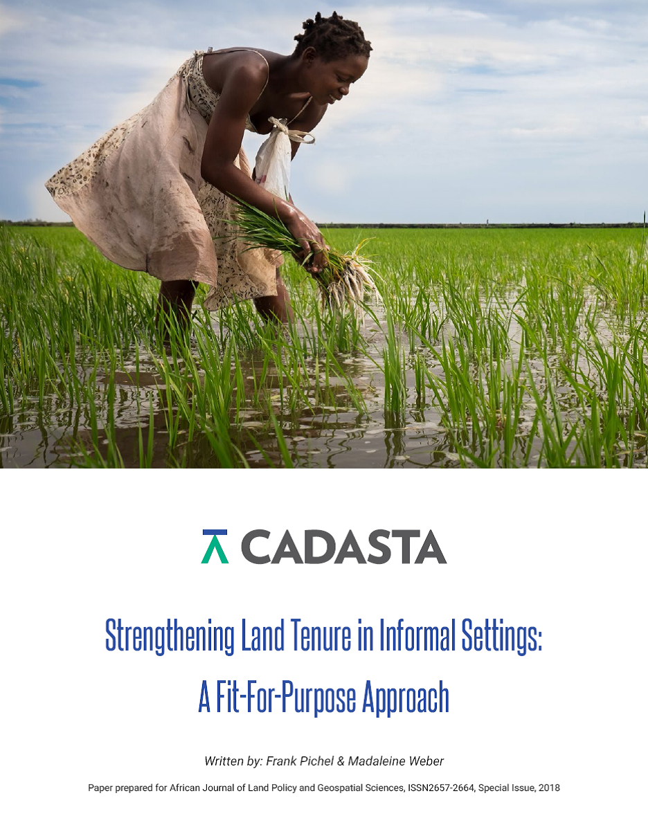
Strengthening Land Tenure in Informal Settings: A Fit-For-Purpose Approach

Journal Articles & Books
Noviembre, 2018
Kenya
Tanzania
Myanmar
India
Nepal
Global

A functioning land administration sector is the foundation for economic growth. Unfortunately, effective land registry and cadastral systems with national coverage exist in only a fraction of the world’s countries. Cadasta Foundation is working to overcome this challenge by developing simple digital tools and technology to help partners efficiently document, analyze, store, and share critical land and resource rights information.

Satellite Earth Observations in Support Of The Sustainable Development Goals

Manuals & Guidelines
Febrero, 2018
Global

This Handbook aims to explain how satellite Earth Observation (EO) are an essential tool in the development of the information and evidence required by many of the SDG Targets and Indicators.It has been prepared for national agencies, UN bodies and other SDG stakeholders working towards a collective implementation of the 2030 Agenda and towards a cost-effective response of countries to the SDG monitoring and reporting challenges.

Land Management Information Systems in the Knowledge Economy

Reports & Research
Octubre, 2007
África

The economies of most African countries rely heavily on agriculture and other land and land-based activities such as tourism, mining and livestock production. Indeed, these are the core activities through which African countries participate in the global economy. Moreover, land is key to food security and the social-cultural needs of most communities in Africa. It has also been established that the performance of most sectors of the economies of African countries is indeed tied to that of the land sector.

Study of Uniform Coding Scheme For Computerisation of Land Records

Reports & Research
Julio, 2008
India

This is a techincal paper by Department of Land Resources, GoI. At present land records databases which are being maintained in various states are following state specific set of codes for different attributes like crop, soil, land use, irrigation, season, area unit and location. The Land Records Information Systems Division of National Informatics Centre, New Delhi has initiated an exercise to standardize the coding scheme for different entities in the land records database exclusively for Data warehousing and Mining purposes for central/state datacentres. 

Administrative and Open Source Data for Monitoring Land Governance: Mapping Women Land Rights in the Context of UN’s SDG in India

Conference Papers & Reports
Febrero, 2017
India

This paper was presented at the “2017 WORLD BANK CONFERENCE ON LAND AND POVERTY”, The World Bank - Washington DC. This paper provides a comparative appreciation of all the datasets especially the metadata and methodology along with a SWOT vis-à-vis reporting requirement of SDG indicator.

Implementation of Responsible Land Governance

Reports & Research
Junio, 2017
Kenya

This publication outlines the process undertaken by UN Habitat/GLTN and The United Nations Food and Agriculture Organization (FAO) Representation in Kenya to support the Ministry of Lands, Physical Planning and Urban Areas Management of the Turkana County Government-Kenya, in establishing a county Land Information Management System based on the Social Tenure Domain Model (STDM). The project was carried out in the context of the United Nations Food and Agriculture Organization (FAO) program entitled, Support for Responsible Land and Natural Resource Governance of Communal Lands in Kenya.

Using geospatial technologies to support compulsory land acquisition in Kenya

Journal Articles & Books
Abril, 2015
Kenya

Governments have power to compulsorily acquire land or other interest in land for a public purpose subject to prompt payment of the compensation to the affected persons. The process of land acquisition involves several government departments which have different mandates depending with the purpose of the acquisition. In several instances departments involved have been seen to be disjointed hence causing gaps and unfinished work in the whole process.

AN EVALUATION OF THE CADASTRAL SYSTEM IN KENYA AND A STRATEGY FOR ITS MODERNIZATION

Reports & Research
Julio, 2013
Kenya

The Cadastral system in Kenya was established in 1903 to support land alienation for the white settlers who had come into the country in the early part of the 20th Century. In the last hundred years, the system has remained more or less the same, where land records are kept in paper format and majority of operations are carried out on a manual basis. The lack of a modern cadastral system has contributed to problems in land administration in the country.