Pasar al contenido principal

page search

There are 801 content items of different types and languages related to Sistemas de información de tierras on the Land Portal.
Displaying 25 - 36 of 57

Estimating flow resistance of wetlands using SAR images and interaction models

Journal Articles & Books
Abril, 2017
Argentina

The inability to monitor wetland drag coefficients at a regional scale is rooted in the difficulty to determine vegetation structure from remote sensing data. Based on the fact that the backscattering coefficient is sensitive to marsh vegetation structure, this paper presents a methodology to estimate the drag coefficient from a combination of SAR images, interaction models and ancillary data. We use as test case a severe fire event occurred in the Paraná River Delta (Argentina) at the beginning of 2008, when 10% of the herbaceous vegetation was burned up.

Cartografía de coberturas del suelo mediante Sensores Remotos, de la ciudad de Resistencia, Argentina (2013)

Journal Articles & Books
Marzo, 2017
Argentina

Los Sensores Remotos se han convertido en los últimos tiempos en una herramienta importante para la planificación territorial, debido a la originalidad metodológica con la cual operan y el amplio espectro de observación de la superficie terrestre. El número de algoritmos disponibles en la literatura científica, permiten tratar individualmente muchas de las coberturas terrestres y caracterizarlas en base a su comportamiento espectral. En el presente trabajo se han aplicado dos métodos de clasificación de imágenes: árboles de decisión o reglas y clasificación no supervisada.

Climate Projections and Uncertainties over South America from MRI/JMA Global Model Experiments

Journal Articles & Books
Enero, 2017
Chile
Argentina
Oceanía
América del Sur

This paper analyses the climate change projected for the near and distant future in South America using MRI/JMA (Japanese Meteorological Agency) global model simulations with resolutions of 20 and 60 km. Changes in mean climate, as well as in the annual cycles and interannual variability of temperature and precipitation are discussed. An analysis is also made of the uncertainties of the 60 km resolution model experiments. For the near and distant future, both, the 20 km and 60 km resolution MRI/JMA models project that temperature changes will be positive in all seasons.

Cultural issues in land information systems

Diciembre, 1995
Fiji
Oceanía
Asia oriental

Considers the cultural dimension of applying the land information system (LIS) concept to lands held under customary land tenure. The article recognizes that the LIS concept has been developed primarily to serve the needs of countries with a western-style land market where individual land rights are the norm. However, many countries where customary landholdings exist, or predominate, are also interested in establishing LISs to manage their land resources better. The article has three main sections.

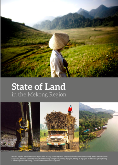
State of Land in the Mekong Region

Journal Articles & Books
Noviembre, 2018
Asia
China
Camboya
Laos
Myanmar
Tailandia
Viet Nam

The Mekong region has undergone rapid socio-economic growth over the past two decades alongside pronounced transformations in a number of key sectors and relations between the rural majority and increasingly-aff

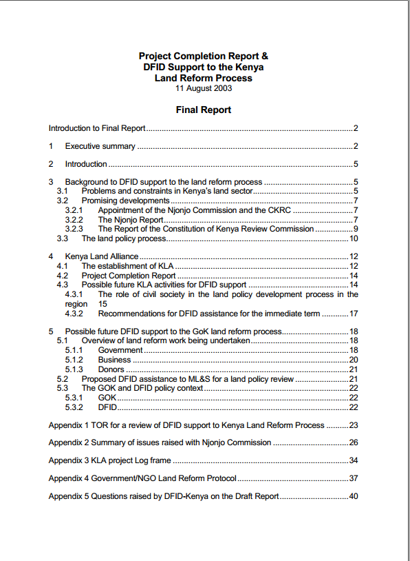
DFID Support To Kenya Land Reform Process

Journal Articles & Books
Agosto, 2003
Kenya

The consultancy required a Project Completion Report of DFID’s support to the Kenya Land Alliance (KLA) and advice to DFID on possible future activities that would support pro poor land reform in Kenya. This final report has been prepared following the comments on the draft report by the Hon Kimunya, Minister of Lands and Settlement, and senior managers in the Ministry, the responsible DFID-Kenya officials and KLA’s Co-ordinator.

KENYA LAND POLICY: ANALYSIS AND RECOMMENDATIONS

Journal Articles & Books
Mayo, 2009
Kenya

This analysis and recommendations stem from USAID/Kenya’s request for an assessment of Kenya’s draft National Land Policy (dNLP).4 It was conducted under the global task order: Property Rights and Resource Governance Program, a mechanism designed and supervised by USAID-EGAT’s Land Resources Management Team under the Office of Natural Resources Management.

Multilingual thesaurus on land tenure

Journal Articles & Books
Diciembre, 2003
Global

Land Tenure Service (SDAA) of the Rural Development Division embarked on the preparation of a land tenure "Thesaurus", mainly covering the following sectors: legal, institutional, historical, description of space, traditional or written land tenure regulations, topographical, land management, as well as land tenure related information techniques. It is expected that the Thesaurus will serve as reference material both for the normative divisions at FAO Headquarters as well as for field experts engaged in the implementation of projects with a land tenure component.

Informe Anual Land Portal 2021

Reports & Research
Febrero, 2022
Global


Carta de la líder de equipo

La Fundación Land Portal se enorgullece de apoyar a los actores involucrados en la tierra en todo el mundo para alimentar un creciente ecosistema de información que está informando y mejorando la toma de decisiones, la política y la práctica relacionadas con la tierra en todos los niveles.

Informe Anual Land Portal 2021

Reports & Research
Febrero, 2022
Global

La Fundación Land Portal se enorgullece de apoyar a los actores involucrados en la tierra en todo el mundo para alimentar un creciente ecosistema de información que está informando y mejorando la toma de decisiones, la política y la práctica relacionadas con la tierra en todos los niveles.

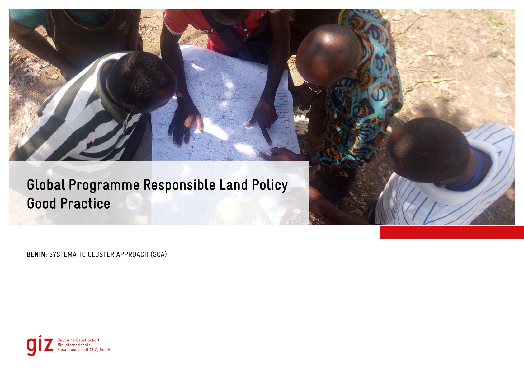
Good Practice

Institutional & promotional materials
Julio, 2022
África
Benin


The Global Programme 'Responsible Land Policy' (GPRLP) is part of the Special Initiative 'One World, No Hunger' of the German Federal Ministry for Economic Cooperation and Development (BMZ), which aims to reduce extreme poverty and hunger.