Aller au contenu principal

page search

There are 912 content items of different types and languages related to systèmes d'information foncière on the Land Portal.
Displaying 25 - 36 of 62

County Spatial Planning And Monitoring Oversight

Manuals & Guidelines
Novembre, 2015
Kenya

These guidelines provide a basis for engagement between the County Governments as planning authorities responsible for preparing, approving and implementing County Spatial Plans and the National Land Commission as a monitoring and oversight agency over land use planning. The County Government Act 2012 at section 110(1)(a) stipulates that the County Spatial Plans shall give effect to the principles and objects of county planning and development contained in section 102 and 103 of the same Act.

DEVELOPING LAND INFORMATION MANAGEMENT SYSTEM (LIMS) FOR COUNTY GOVERNMENTS IN KENYA: A CASE STUDY KIRINYAGA COUNTY.

Journal Articles & Books
Février, 2017
Kenya

This paper describes the development of a Land Information Management System (LIMS) for County Governments in Kenya. In the new Constitution 2010, devolution of some national government functions and formation of county governments was provided for. These invoked the development of new land laws to guide the devolution processes and procedures. According to the County Government Act 2012, all County Governments are supposed to develop digital Geographic Information System (GIS) based spatial plans and these calls for development of LIMS for and efficient breakthrough.

Using geospatial technologies to support compulsory land acquisition in Kenya

Journal Articles & Books
Avril, 2015
Kenya

Governments have power to compulsorily acquire land or other interest in land for a public purpose subject to prompt payment of the compensation to the affected persons. The process of land acquisition involves several government departments which have different mandates depending with the purpose of the acquisition. In several instances departments involved have been seen to be disjointed hence causing gaps and unfinished work in the whole process.

AN EVALUATION OF THE CADASTRAL SYSTEM IN KENYA AND A STRATEGY FOR ITS MODERNIZATION

Reports & Research
Juillet, 2013
Kenya

The Cadastral system in Kenya was established in 1903 to support land alienation for the white settlers who had come into the country in the early part of the 20th Century. In the last hundred years, the system has remained more or less the same, where land records are kept in paper format and majority of operations are carried out on a manual basis. The lack of a modern cadastral system has contributed to problems in land administration in the country.

Farming the planet: 1. Geographic distribution of global agricultural lands in the year 2000

Peer-reviewed publication
Juillet, 2008
Global

Agricultural activities have dramatically altered our planet's land surface. To understand the extent and spatial distribution of these changes, we have developed a new global data set of croplands and pastures circa 2000 by combining agricultural inventory data and satellite-derived land cover data. The agricultural inventory data, with much greater spatial detail than previously available, is used to train a land cover classification data set obtained by merging two different satellite-derived products (Boston University's MODIS-derived land cover product and the GLC2000 data set).

Technology and precision of automatized deciphering of agricultural lands

Policy Papers & Briefs
Décembre, 2012
États-Unis d'Amérique
Bélarus

In the conditions of the Republic of Belarus there was presented the technology of automatized deciphering of area objects with the help of programme complex ENVI ((Environment for Visualizing Image), developed by the Research Systems, Inc. (the USA)). There were examined existing methods of deciphering in the programme complex ENVI. The presented order of deciphering could be recommended for production and could be used for the deciphering of linear and single-point objects.

Administrative and Open Source Data for Monitoring Land Governance: Mapping Women Land Rights in the Context of UN’s SDG in India

Conference Papers & Reports
Février, 2017
Inde

This paper was presented at the “2017 WORLD BANK CONFERENCE ON LAND AND POVERTY”, The World Bank - Washington DC. This paper provides a comparative appreciation of all the datasets especially the metadata and methodology along with a SWOT vis-à-vis reporting requirement of SDG indicator.

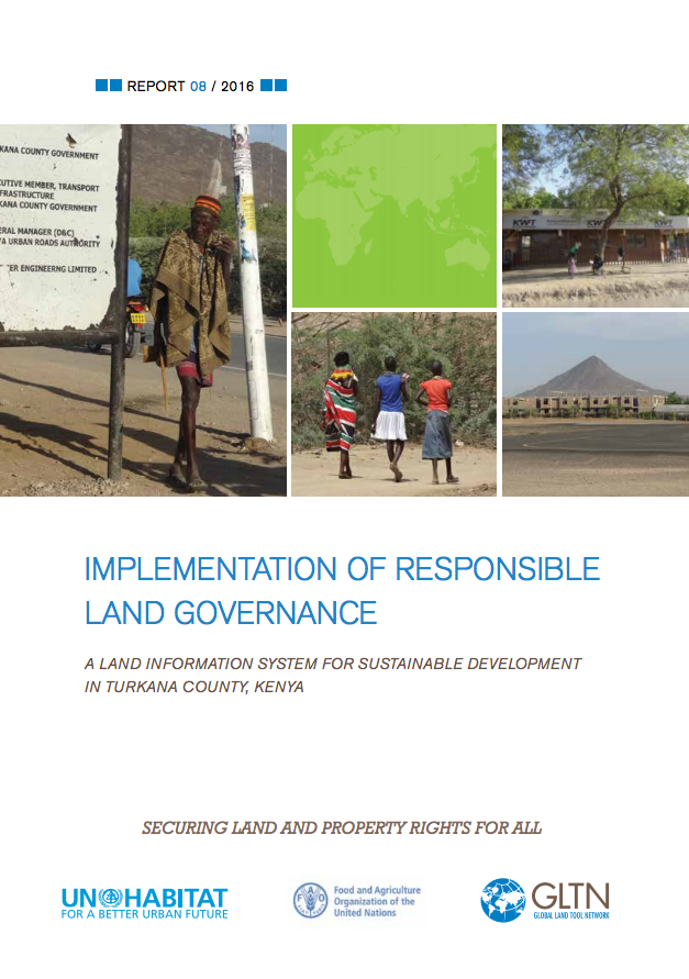
Implementation of Responsible Land Governance

Reports & Research
Juin, 2017
Kenya

This publication outlines the process undertaken by UN Habitat/GLTN and The United Nations Food and Agriculture Organization (FAO) Representation in Kenya to support the Ministry of Lands, Physical Planning and Urban Areas Management of the Turkana County Government-Kenya, in establishing a county Land Information Management System based on the Social Tenure Domain Model (STDM). The project was carried out in the context of the United Nations Food and Agriculture Organization (FAO) program entitled, Support for Responsible Land and Natural Resource Governance of Communal Lands in Kenya.

Social impacts of land commercialization in Zambia

Reports & Research
Décembre, 2010
Zambie

Macha Mission in Choma District of Southern Province, Zambia was founded by the Brethren in Christ (BIC) Church in 1906 and granted title deeds to 3,003 hectares of land by the British colonial authority of the time. Since then the Mission has built a church, a hospital (which today includes a pioneering malaria clinic), two schools, and houses for its workers. A large market has grown up near the hospital, serving local workers and hospital visitors.

Study of Uniform Coding Scheme For Computerisation of Land Records

Reports & Research
Juillet, 2008
Inde

This is a techincal paper by Department of Land Resources, GoI. At present land records databases which are being maintained in various states are following state specific set of codes for different attributes like crop, soil, land use, irrigation, season, area unit and location. The Land Records Information Systems Division of National Informatics Centre, New Delhi has initiated an exercise to standardize the coding scheme for different entities in the land records database exclusively for Data warehousing and Mining purposes for central/state datacentres. 

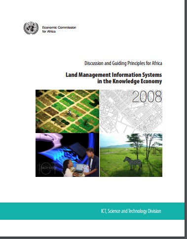
Land Management Information Systems in the Knowledge Economy

Reports & Research
Octobre, 2007
Afrique

The economies of most African countries rely heavily on agriculture and other land and land-based activities such as tourism, mining and livestock production. Indeed, these are the core activities through which African countries participate in the global economy. Moreover, land is key to food security and the social-cultural needs of most communities in Africa. It has also been established that the performance of most sectors of the economies of African countries is indeed tied to that of the land sector.

Satellite Earth Observations in Support Of The Sustainable Development Goals

Manuals & Guidelines
Février, 2018
Global

This Handbook aims to explain how satellite Earth Observation (EO) are an essential tool in the development of the information and evidence required by many of the SDG Targets and Indicators.It has been prepared for national agencies, UN bodies and other SDG stakeholders working towards a collective implementation of the 2030 Agenda and towards a cost-effective response of countries to the SDG monitoring and reporting challenges.