Pasar al contenido principal

page search

Displaying 1261 - 1272 of 6252

Participatory Methodology for Planning of Peri Urban Land Use in Situ

Journal Articles & Books
Junio, 2013
Tanzania

The future is increasingly urban and inevitably so. Urbanisation is increasing at unprecedented rate in both Sub-Saharan Africa and developing world (UN Habitat, 1999). Alongside this rapid expansion comes the emergence of the peri-urban areas that are characterised of increasing intensification and co-existence of urban and rural areas, marked by dynamic flows of commodities, capital, natural resources, people and environmental pollution.

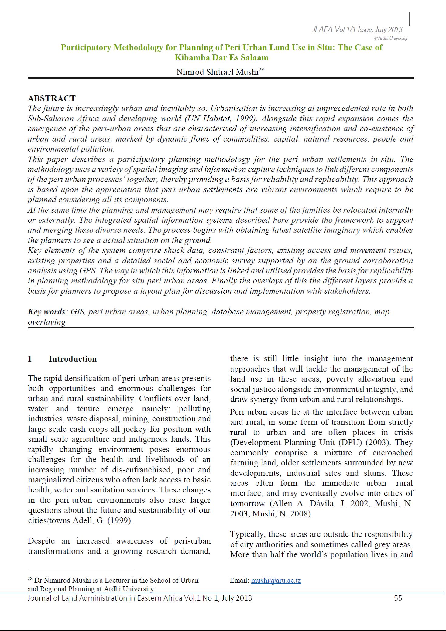
120 Years of Surveys and Mapping in Tanzania (1893 – 2013)

Journal Articles & Books
Junio, 2013
Tanzania

The history of surveys and mapping in Tanzania has been influenced by two European cultures through its colonization; first by the German and then by the British. During the German Administration, surveys and mapping activities were carried out by the Department of Surveys and Agriculture from 1893 to 1914. When the British took over the mandate for the territory after World War I, the also used the “old” German maps until when they when they started the surveys to produce other topographic maps from 1946. In 1961, the Surveys and Mapping Division was created.

Land Change in the Greater Antilles between 2001 and 2010

Peer-reviewed publication
Junio, 2013
Jamaica
Puerto Rico
Cuba
Haití
República Dominicana

Land change in the Greater Antilles differs markedly among countries because of varying socioeconomic histories and global influences. We assessed land change between 2001 and 2010 in municipalities (second administrative units) of Cuba, Dominican Republic, Haiti, Jamaica, and Puerto Rico. Our analysis used annual land-use/land-cover maps derived from MODIS satellite imagery to model linear change in woody vegetation, mixed-woody/plantations and agriculture/herbaceous vegetation. Using this approach, we focused on municipalities with significant change (p ≤ 0.05).

Regional Deforestation Trends within Local Realities: Land-Cover Change in Southeastern Peru 1996–2011

Peer-reviewed publication
Junio, 2013
Perú

Estimating deforested areas and deforestation rates have become key steps for quantifying environmental services of tropical rain forests, particularly as linked to programs such as Reduced Emissions from Deforestation and Forest Degradation (REDD). In Southeastern Peru, reliable estimates of land-cover change (LCC) are important for monitoring changes in the landscape due to agricultural expansion, pasture creation and other socio-economic influences triggered by the Inter-Oceanic Highway (IOH).

Interdependences between Smallholder Farming and Environmental Management in Rural Malawi: A Case of Agriculture-Induced Environmental Degradation in Malingunde Extension Planning Area (EPA)

Peer-reviewed publication
Junio, 2013

The objective of this article was to develop a deeper understanding of the interdependences between smallholder farming and the state of environmental management in rural Malawi. We examined the agricultural local governance framework in Malingunde Extension Planning Area (EPA), its contribution to food security and how it conflicts with overall land and forest resources management. The charcoal production process was discussed in line with its implications for agricultural production and environmental sustainability.

Draft National Land Reforms Policy

Policy Papers & Briefs
Junio, 2013
India

Chiefly an agricultural society, India has a strong linkage between land and social status of an individual. Nearly 70 % of its population dependent on land, either as farmers or farm laborers and it is imperative to address the issues of land ensuring livelihood, dignity and food security to millions of Indians. Land reform was a major policy initiative in the country in 1950s and early 1960s.

Diálogos sobre Justiça: SOLUÇÕES ALTERNATIVAS PARA CONFLITOS FUNDIÁRIOS URBANOS

Reports & Research
Junio, 2013
Brasil

A pesquisa sobre soluções alternativas para conflitos fundiários urbanos, Projeto BRA/05/036 Fortalecimento da Justiça Brasileira Convocação 01/12 resulta no presente relatório que tem como núcleo aprofundar o tema dos conflitos fundiários urbanos sob a  perspectiva da identificação, mapeamento, catalogação e definição de conceitos e critérios capazes de configurar verdadeiramente tais situações, bem como produzir solução processual-normativa que estabeleça a resolução alternativa de conflitos como rotina para casos desse tipo, considerando as especificidades de cada um com base em uma tipo

Operação Urbana Consorciada da Linha Verde: limites e oportunidades à luz da gestão social da valorização da terra

Reports & Research
Junio, 2013
Brasil

Resumo Observa-se atualmente o revigoramento dos deba­tes sobre o Estatuto da Cidade, questionando sua efetividade, a baixa participação popular e sua uti­lização para legitimação de políticas engendradas por interesses particulares. Nesse contexto, este artigo investiga as Operações Urbanas Consorcia­das (OU) enquanto mecanismo de recuperação de mais-valias fundiárias. Partindo de um estudo so­bre a OU Faria Lima (São Paulo-SP), discute-se de forma prospectiva a OU Linha Verde (Curitiba-PR), em fase inicial de implantação.

El derecho a la vivienda en Colombia, una mirada político-constitucional y jurisprudencial

Reports & Research
Junio, 2013
Colombia

Este trabajo aborda la necesidad de mostrar de una manera integral y crítica el derecho a la vivienda en Colombia, su marco normativo, su creación en la Constitución de 1991, la protección internacional de los Derechos Humanos y de los diferentes puntos de vista adoptados por la jurisprudencia de la Corte Constitucional, corporación que le otorgó el rango de derecho fundamental.

Order No. 216 of the Ministry of Natural Resources validating the Regulation on protection area of state nature biosphere reserve “Sokhondinsky”.

Regulations
Junio, 2013
Rusia

This Regulation establishes that protection area of state nature biosphere reserve “Sokhondinsky” shall be established on adjacent areas with a view of protection of the protected area against negative anthropogenic impact. Land plots within the boundaries of protection area shall not be expropriated from landowners, land tenants, leaseholders and servitude holders and shall be management thereby in accordance with the established regime.

Town and Country Planning (Trelawny Parish) Provisional Development Order, 2013 (No. 89B of 2013).

Regulations
Junio, 2013
Jamaica

This Order, made under section 5 of the Town and Country Planning Act, provides for a wide variety of matters regarding the administration and development of the Trelawny Parish Development Area. Matters regulated by this Order include planning permission for development, control on subdivision of land, consultation with national authorities by the local planning authority before granting planning permission, appeals. The Second Schedule sets out Use Classes. The Third Schedule sets out Permitted Development. The Fifth Schedule sets out the Planning Framework for the development area.