Focal point
Location
FIG is the premier international organization representing the interests of surveyors worldwide. It is a federation of the national member associations and covers the whole range of professional fields within the global surveying community. It provides an international forum for discussion and development aiming to promote professional practice and standards.
FIG was founded in 1878 in Paris and was known as the Fédération Internationale des Géomètres. This has become anglicized to the International Federation of Surveyors. It is a UN-recognized non-government organization (NGO), representing more than 120 countries throughout the world, and its aim is to ensure that the disciplines of surveying and all who practise them meet the needs of the markets and communities that they serve.
The FIG vision
A modern and sustainable surveying profession in support of society, environment and economy by providing innovative, reliable and best practice solutions to our rapidly changing and complex world, acting with integrity and confidence about the usefulness of surveying, and translating these words into action.
The role of FIG
FIG’s activities are governed by a work plan, which is approved by the General Assembly and reviewed by Council as its tenure progresses. The current work plan with the motto “Ensuring the Rapid Response to Change Ensuring the Surveyor of Tomorrow” guides Council, Commissions, Networks and Task Force in their activities.
FIG supports the role of a prosperous and sustainable profession of surveyors to provide solution functionality, reliably, affordably for a complex and rapidly changing world that cannot wait, and to translate a sustainable development agenda into action. FIG supports international collaboration among its members for the progress of surveying in all its fields and applications. FIG has a close cooperation with United Nations relevant bodies, World Bank, and its sister associations and has been globally recognized as the leading international non-governmental organization on geospatial information and the management of “land”, the “sea” and the “built” environment. It is within the surveyors’ task to determine the size and shape of the earth, to map its surface and to manage it in a sustainable way.
Resources
Displaying 41 - 45 of 49Transforming the Land Administration Domain Model (LADM) into an ISO Standard (ISO19152)
In February 2008, FIG submitted the Land Administration Domain Model (LADM) to the International Organization for Standardization (ISO). After three meetings with the LADM/ISO19152 Project Team (in Copenhagen, Denmark, May 2008; in Delft, The Netherlands, September 2008; and in Tsukuba, Japan, December 2008) we are now preparing a Committee Draft (CD), the next stage in the development process of an International Standard.
Customary land tenure dynamics at peri-urban Ghana: Implications for land administration system modeling
Customary land tenure is criticized as dynamic with the institutional framework unable to provide enough tenure security at all times. It is also criticized as ineffective to cope with the trends in land tenure delivery at peri-urban areas where individualization of land and demand for land is high. The aim of this paper is to investigate how customary land tenure systems of Ghana meet the dynamic need of the modern life in peri-urban areas.
Vietnam Land Registration from Terminology to the Practice
Vietnam Land Administration system has implemented successfully the land policy in recent decades. In the next phase of socio-economic development plan, land is requested to become important domestic resources for many investment projects. Obviously, land registration needs further development so that land use rights or land use right certificate can be used as asset in the open market. In the past ten years, many improved on land registration was undertaken. Many first-look problems have been identified and fixed. The issues of Vietnam land registration are more difficult to identify.
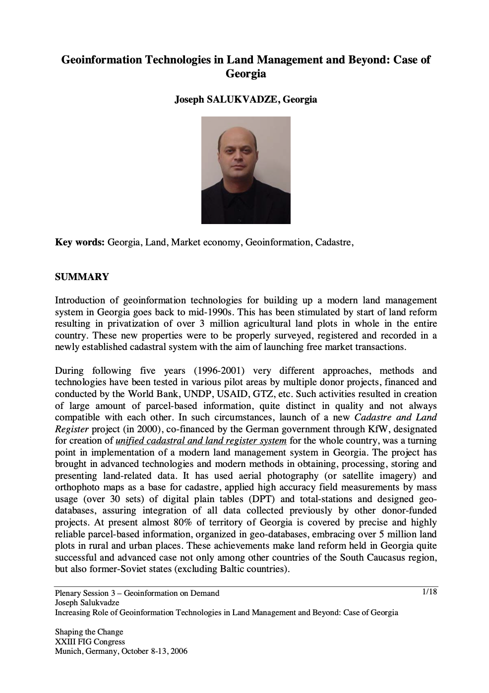
Geoinformation Technologies in Land Management and Beyond: Case of Georgia
Introduction of geoinformation technologies for building up a modern land management system in Georgia goes back to mid-1990s. This has been stimulated by start of land reform resulting in privatization of over 3 million agricultural land plots in whole in the entire country. These new properties were to be properly surveyed, registered and recorded in a newly established cadastral system with the aim of launching free market transactions.
Legal Coordinated Cadastres
The field of cadastre holds an inherent complexity much based on its interdisciplinary characteristics and the national uniqueness of each cadastral system. In addition, some cadastral terminology is vague or ambiguous, which is why omission of the explicit sense and context of a particular term may bring obscurity to international comparisons and analyses. The concept legal coordinated cadastre (and kindred expressions), occasionally mentioned in connection with visions and plans of cadastral modernisation, is discussed here in order to clarify possible meanings and implications.


