RRI - Forest Tenure Data | Land Portal

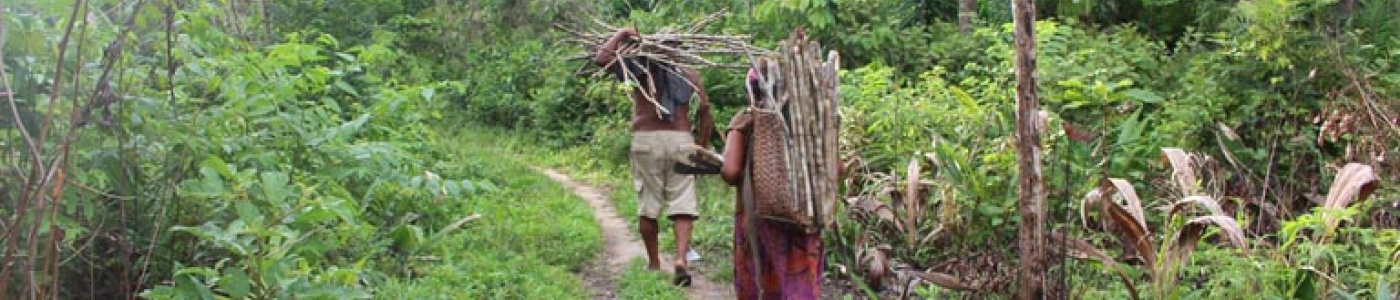
The quantitative dataset on forest tenure data by RRI currently covers 52 countries containing nearly 90% of the world’s forests. It monitors spatial forest tenure data - that is, who owns how many hectares of a given forest. RRI recognizes four categories of land ownership:

I) Forestland Owned by Indigenous Peoples and local communities
II) Forestland Designated for Indigenous Peoples and local communities
III) Forestland Administered by governments
IV) Forestland by individuals and private firms

To learn more about these categories visit https://rightsandresources.org/en/work-impact/tenure-data-tool/

Indicators are measured in million Ha.

Forest land administered by governments: This category includes all forest land that is legally claimed as exclusively belonging to the state.

Measurement unit: 
Million ha

Forest land designated by governments for Indigenous Peoples and local communities: Ownership of forest land under this category remains claimed by the state but some rights have been recognized by

Measurement unit: 
Million ha

Forest land owned by Indigenous Peoples and local communities: Forests are considered to be “owned” where communities have full legal rights to secure their claims to forests, defined in RRI’s rese

Measurement unit: 
Million ha

Forest land owned by individuals and firms: In these areas, individuals and firms have full legal rights of ownership of forest land. Concessionaires are not included in this category.

Measurement unit: 
Million ha
License: 

Partagez cette page