Aller au contenu principal

page search

There are 458 content items of different types and languages related to cartographie de l'utilisation des terres on the Land Portal.
Displaying 25 - 36 of 113

Land use map of Rwanda

Policy Papers & Briefs
Novembre, 2014
Rwanda
Ouganda
Burundi
Chine
Tanzania
Cuba
Argentine
Sénégal
Afrique

The present report gives the complete description of the preparation of a land use map and also the preparation of a national map of livestock intensity, needed as LUS input. The present method allows the preparation of a multi-country land use map in two weeks with the work of 13 experts, and is comparable to the continuous of 130 working days. Further to that, the LUS has been validated with the support of GIS consultants.

Пересмотренная Всемирная хартия почв

Reports & Research
Août, 2015
Italie

Здоровье почв является одним из главных условий, необходимых для удовлетворения разнообразных потребностей в продовольствии, биомассе (энергии), волокнах, кормах и других видах продукции, а также для обеспечения основных экосистемных услуг во всех регионах мира. Вместе с тем человечество сталкивается с беспрецедентным давлением на почвенные ресурсы. В частности, различные виды деградации почв, в том числе их запечатывание, которое связано с быстрой урбанизацией, наносят тяжелый урон, угрожая продовольственной безопасности и экологическому равновесию.

Base referencial mundial del recurso suelo 2014: Sistema internacional de clasificación de suelos para la nomenclatura de suelos y la creación de leyendas de mapas de suelos

Journal Articles & Books
Novembre, 2016
France
États-Unis d'Amérique
Luxembourg
Chili
Australie
Danemark
Pays-Bas
Pologne
Bulgarie
Ghana
Argentine
Nouvelle-Zélande
Canada
Brésil
Autriche

La tercera edición de la WRB incorpora, en el nuevo capítulo 2, elementos que permiten generar nombres taxonómicos mucho más informativos que llevan a deducir con facilidad la génesis y funciones de los suelos. Por otro lado, esta nueva versión de la WRB facilita la elaboración de leyendas de mapas a varias escalas para uso multifinalitario.

Charte mondiale des sols révisée

Reports & Research
Août, 2015
Italie

Des sols sains sont une condition préalable essentielle pour satisfaire divers besoins en nourriture, biomasse (énergie), fibre, fourrage et autres produits; et pour assurer la fourniture de services écosystémiques essentiels dans toutes les régions du monde. Cependant, les ressources en sol de l’humanité sont confrontées à des pressions sans précédent. Il s’agit notamment de diverses formes de dégradation des sols, dont l’imperméabilisation liée à une urbanisation rapide, qui ont de graves conséquences. La sécurité alimentaire et l’équilibre écologique de la planète sont menacés.

Land use map of Uganda

Policy Papers & Briefs
Novembre, 2014
Rwanda
Ouganda
Burundi
Chine
Tanzania
Cuba
Argentine
Sénégal
Afrique

The present report gives the complete description of the preparation of a land use map and also the preparation of a national map of livestock intensity, needed as LUS input. The present method allows the preparation of a multi-country land use map in two weeks with the work of 13 experts, and is comparable to the continuous of 130 working days. Further to that, the LUS has been validated with the support of GIS consultants.
Harmonized World Soil Database Version 1.1

Journal Articles & Books
Novembre, 2009
France
Belgique
Espagne
Gambie
Croatie
Burundi
Chine
Bulgarie
Autriche
Congo
Rwanda
Chypre
États-Unis d'Amérique
Bosnie-Herzégovine
Albanie
Australie
Italie
Portugal
Sénégal
Mongolie
Canada
Europe
Asie
Afrique
Amérique septentrionale

The completion of this comprehensive harmonized soil information database will improve estimation of current and future land potential productivity, help identify land and water limitations, and enhance assessing risks of land degradation, particularly soil erosion. The HWSD contributes sound scientific knowledge for planning sustainable expansion of agricultural production and for guiding policies to address emerging land competition issues concerning food production, bio-energy demand and threats to biodiversity.

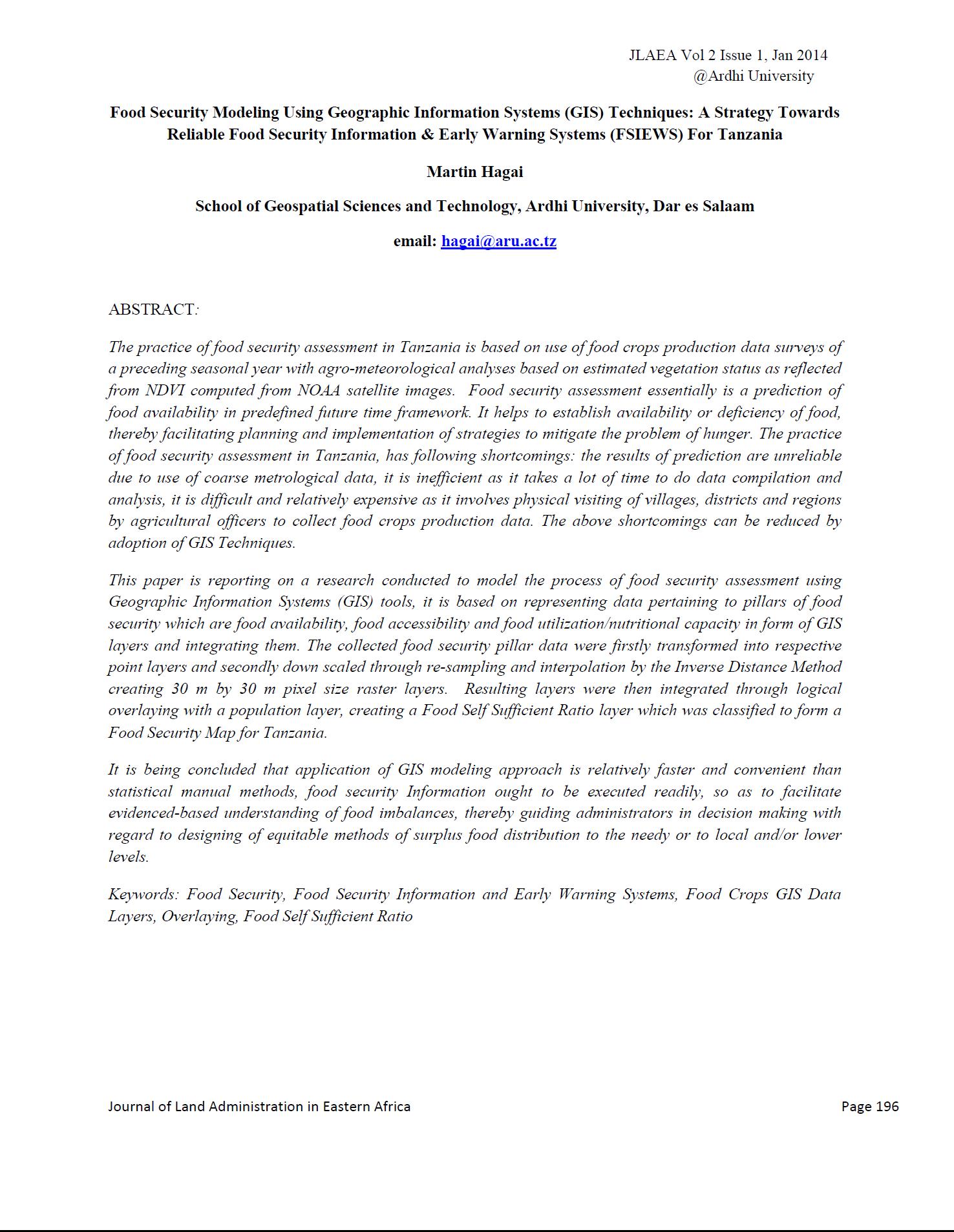
Participatory Methodology for Planning of Peri Urban Land Use in Situ

Journal Articles & Books
Juin, 2013
Tanzania

The future is increasingly urban and inevitably so. Urbanisation is increasing at unprecedented rate in both Sub-Saharan Africa and developing world (UN Habitat, 1999). Alongside this rapid expansion comes the emergence of the peri-urban areas that are characterised of increasing intensification and co-existence of urban and rural areas, marked by dynamic flows of commodities, capital, natural resources, people and environmental pollution.

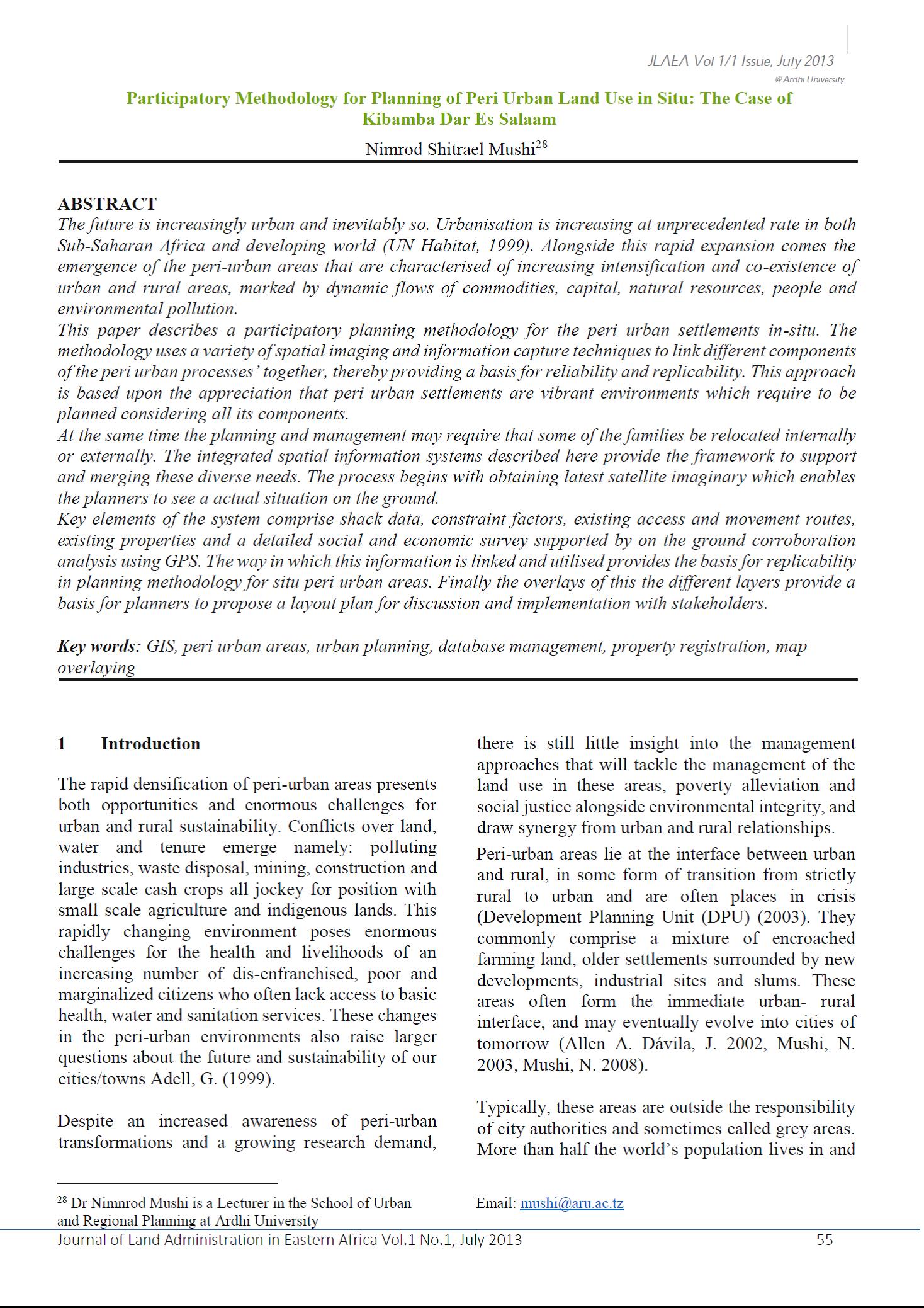
120 Years of Surveys and Mapping in Tanzania (1893 – 2013)

Journal Articles & Books
Juin, 2013
Tanzania

The history of surveys and mapping in Tanzania has been influenced by two European cultures through its colonization; first by the German and then by the British. During the German Administration, surveys and mapping activities were carried out by the Department of Surveys and Agriculture from 1893 to 1914. When the British took over the mandate for the territory after World War I, the also used the “old” German maps until when they when they started the surveys to produce other topographic maps from 1946. In 1961, the Surveys and Mapping Division was created.

Mount Kilimanjaro Orthometric Height by TZG08 Geoid Model and GPS Ellipsoidal Heights from 1999 and 2008 GPS Campaigns

Journal Articles & Books
Décembre, 2013
Tanzania

The aim of this paper is to compute a more accurate orthometric height of Mount Kilimanjaro by utilizing the current most precise geoid model for Tanzania, TZG08, together with the 1999 and 2008 GPS campaigns ellipsoidal heights using GPS levelling method.

The result of the GPS levelling using TZG08 gravimetric geoid model and the Kil_1999 and KILI2008 GPS ellipsoidal heights is that the orthometric height of Mount Kilimanjaro is 5,894.94m. Therefore the orthometric height of Mount Kilimanjaro is practically the same as the 1952 official height of 5,895m. 

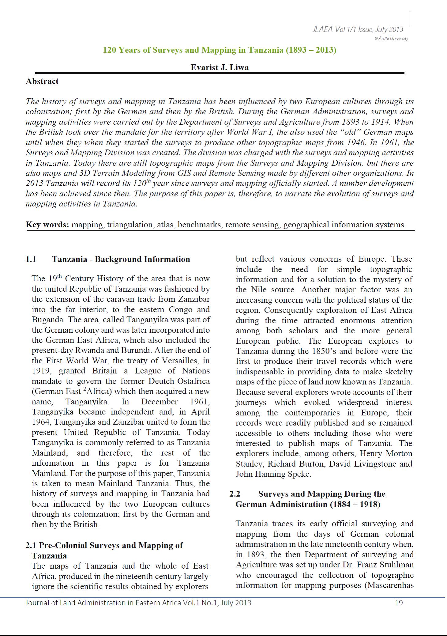
Food Security Modeling Using Geographic Information Systems (GIS) Techniques

Journal Articles & Books
Décembre, 2013
Tanzania

The practice of food security assessment in Tanzania is based on use of food crops production data surveys of a preceding seasonal year with agro-meteorological analyses based on estimated vegetation status as reflected from NDVI computed from NOAA satellite images.  Food security assessment essentially is a prediction of food availability in predefined future time framework. It helps to establish availability or deficiency of food, thereby facilitating planning and implementation of strategies to mitigate the problem of hunger.

SUSTAINABILITY IN A PROJECT: CONCEPTUALISING FOR SUSTAINABILITY INDICATORS

Journal Articles & Books
Décembre, 2013
Tanzania

The concept in this paper builds upon basic principles of sustainability to address the problem of how a sustainable project must contribute to economic and social welfare without depleting natural resources, destroying the environment or harming human health.. With this understanding, a systems approach was used in a study that conceptualised a paradigm shift in project management system for sustainability incorporating Environmental Impact Assessment (EIA), Cause-effect Chain and the Socio-economic Resource models.